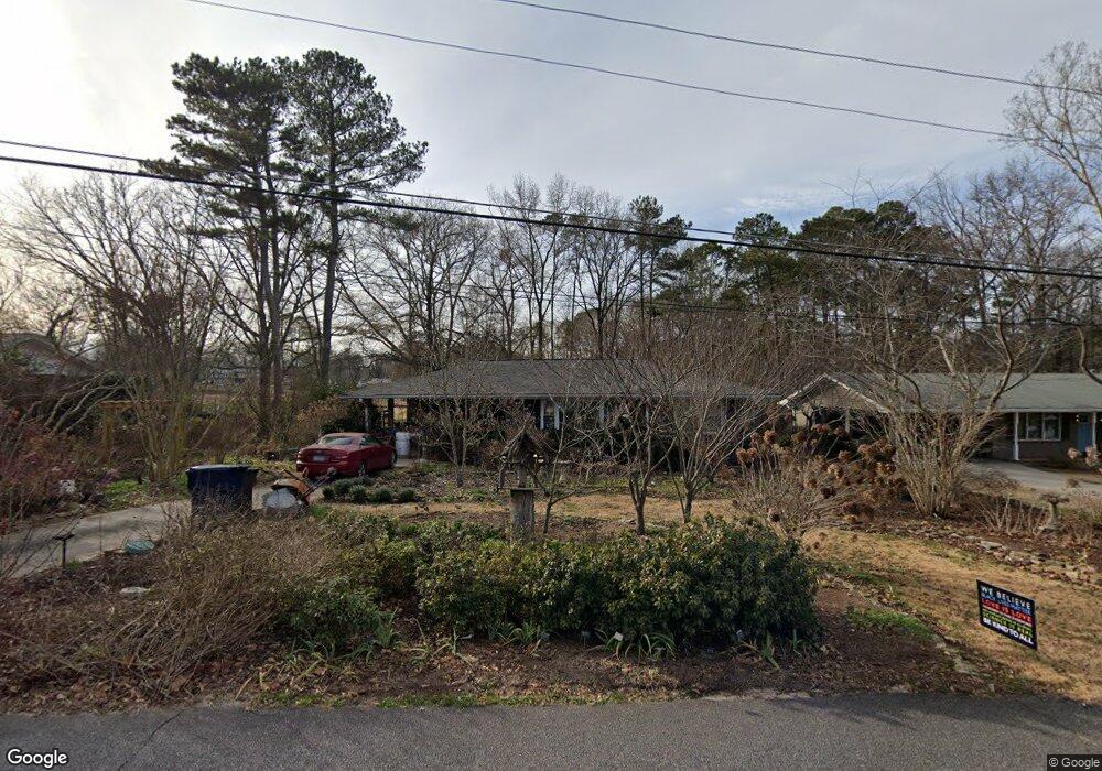
192 Manning Dr Unit 1 Alpharetta, GA 30009
Estimated Value: $481,000 - $937,000
3
Beds
2
Baths
1,183
Sq Ft
$555/Sq Ft
Est. Value
About This Home
This home is located at 192 Manning Dr Unit 1, Alpharetta, GA 30009 and is currently estimated at $656,967, approximately $555 per square foot. 192 Manning Dr Unit 1 is a home located in Fulton County with nearby schools including Manning Oaks Elementary School, Hopewell Middle School, and Alpharetta High School.
Ownership History
Date
Name
Owned For
Owner Type
Purchase Details
Closed on
Sep 25, 1995
Sold by
Farr Mazell K
Bought by
Farr Mary
Current Estimated Value
Create a Home Valuation Report for This Property
The Home Valuation Report is an in-depth analysis detailing your home's value as well as a comparison with similar homes in the area
Home Values in the Area
Average Home Value in this Area
Purchase History
| Date | Buyer | Sale Price | Title Company |
|---|---|---|---|
| Farr Mary | $75,000 | -- |
Source: Public Records
Tax History Compared to Growth
Tax History
| Year | Tax Paid | Tax Assessment Tax Assessment Total Assessment is a certain percentage of the fair market value that is determined by local assessors to be the total taxable value of land and additions on the property. | Land | Improvement |
|---|---|---|---|---|
| 2025 | $134 | $210,600 | $127,240 | $83,360 |
| 2023 | $3,016 | $106,840 | $31,360 | $75,480 |
| 2022 | $1,232 | $106,840 | $31,360 | $75,480 |
| 2021 | $1,337 | $103,720 | $30,440 | $73,280 |
| 2020 | $1,404 | $162,040 | $110,560 | $51,480 |
| 2019 | $129 | $88,640 | $31,920 | $56,720 |
| 2018 | $1,003 | $86,560 | $31,160 | $55,400 |
| 2017 | $1,041 | $47,640 | $17,880 | $29,760 |
| 2016 | $1,040 | $47,640 | $17,880 | $29,760 |
| 2015 | $1,118 | $47,640 | $17,880 | $29,760 |
| 2014 | $1,070 | $47,640 | $17,880 | $29,760 |
Source: Public Records
Map
Nearby Homes
- 410 Anglin Walk
- 730 Tannery Common
- 225 Anglin Walk
- 105 Cumming St
- 120 N Main St Unit 302
- 120 N Main St Unit 2A
- 154 Cold Creek Dr
- 254 N Main St
- 264 N Main St
- Lot 7 Plan at 1858 Downtown
- Lot 9 Plan at 1858 Downtown
- 1085 Pine Grove Dr
- 105 Martin Run
- 136 Canton St
- 355 Cricket Ln
- 535 Rose Garden Ln
- 122 Academy St
- 126 Academy St
- 202 Manning Dr
- 180 Manning Dr
- 310 Anglin Walk
- 212 Manning Dr
- 212 Manning Dr
- 0 Manning Dr Unit 8148544
- 0 Manning Dr Unit 8684061
- 0 Manning Dr Unit 3161183
- 0 Manning Dr
- 170 Manning Dr
- 320 Anglin Walk Unit 2664455-40485
- 320 Anglin Walk
- 300 Anglin Walk
- 290 Anglin Walk
- 195 Manning Dr
- 185 Manning Dr
- 280 Anglin Walk
- 175 Manning Dr
- 222 Manning Dr
- 211 Manning Dr