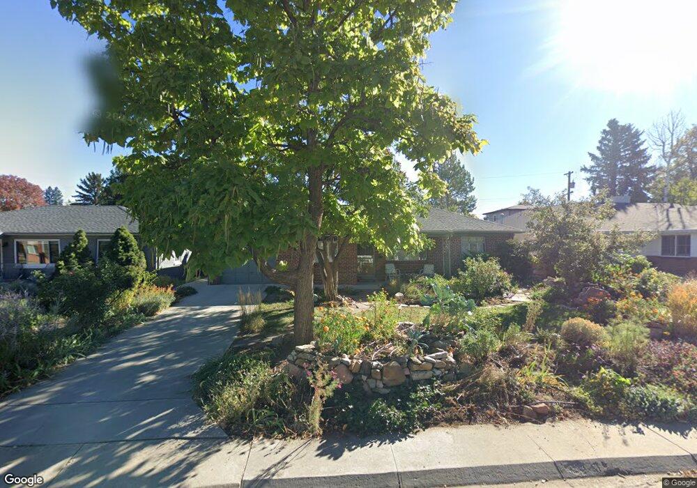
192 Newport St Denver, CO 80220
Hilltop NeighborhoodEstimated Value: $695,496 - $840,000
3
Beds
2
Baths
1,727
Sq Ft
$449/Sq Ft
Est. Value
About This Home
This home is located at 192 Newport St, Denver, CO 80220 and is currently estimated at $774,624, approximately $448 per square foot. 192 Newport St is a home located in Denver County with nearby schools including Lowry Elementary School, Hill Campus of Arts & Sciences, and George Washington High School.
Ownership History
Date
Name
Owned For
Owner Type
Purchase Details
Closed on
Jun 25, 1998
Sold by
Anderson Brunner Mark and Ellen Silberman Sara
Bought by
Brunner Mark Anderson and Brunner Sara Ellen
Current Estimated Value
Home Financials for this Owner
Home Financials are based on the most recent Mortgage that was taken out on this home.
Original Mortgage
$95,100
Interest Rate
7.08%
Create a Home Valuation Report for This Property
The Home Valuation Report is an in-depth analysis detailing your home's value as well as a comparison with similar homes in the area
Home Values in the Area
Average Home Value in this Area
Purchase History
| Date | Buyer | Sale Price | Title Company |
|---|---|---|---|
| Brunner Mark Anderson | -- | -- |
Source: Public Records
Mortgage History
| Date | Status | Borrower | Loan Amount |
|---|---|---|---|
| Closed | Brunner Mark Anderson | $95,100 |
Source: Public Records
Tax History Compared to Growth
Tax History
| Year | Tax Paid | Tax Assessment Tax Assessment Total Assessment is a certain percentage of the fair market value that is determined by local assessors to be the total taxable value of land and additions on the property. | Land | Improvement |
|---|---|---|---|---|
| 2024 | $2,889 | $43,170 | $22,490 | $20,680 |
| 2023 | $2,826 | $43,170 | $22,490 | $20,680 |
| 2022 | $2,278 | $35,600 | $24,890 | $10,710 |
| 2021 | $2,199 | $36,620 | $25,600 | $11,020 |
| 2020 | $1,957 | $33,520 | $16,300 | $17,220 |
| 2019 | $1,902 | $33,520 | $16,300 | $17,220 |
| 2018 | $2,084 | $34,140 | $16,410 | $17,730 |
| 2017 | $2,633 | $34,140 | $16,410 | $17,730 |
| 2016 | $2,560 | $31,390 | $14,248 | $17,142 |
| 2015 | $2,452 | $31,390 | $14,248 | $17,142 |
| 2014 | $2,167 | $26,090 | $8,812 | $17,278 |
Source: Public Records
Map
Nearby Homes
- 300 Oneida St
- 185 Olive St
- 291 Magnolia St
- 65 Newport St
- 6975 E Irvington Place
- 18 Oneida Ct
- 10 Oneida Ct
- 160 Poplar St Unit A
- 6959 E Lowry Blvd
- 209 Quebec St Unit L
- 159 Quebec St Unit D
- 6758 E Lowry Blvd
- 335 Leyden St
- 43 S Oneida Ct
- 290 Krameria St
- 463 Locust St
- 6550 E 6th Avenue Pkwy
- 635 Olive St
- 640 Magnolia St
- 41 Quince St