192 Puffin Rd Sandpoint, ID 83864
Estimated Value: $632,000 - $799,000
6
Beds
3
Baths
2,153
Sq Ft
$334/Sq Ft
Est. Value
About This Home
This home is located at 192 Puffin Rd, Sandpoint, ID 83864 and is currently estimated at $718,088, approximately $333 per square foot. 192 Puffin Rd is a home located in Bonner County with nearby schools including Farmin Stidwell Elementary School, Sandpoint Middle School, and Sandpoint High School.
Ownership History
Date
Name
Owned For
Owner Type
Purchase Details
Closed on
Jan 31, 2024
Sold by
Lunde Donald Gene
Bought by
Godbolt Emerson G and Meehan Allison S
Current Estimated Value
Home Financials for this Owner
Home Financials are based on the most recent Mortgage that was taken out on this home.
Original Mortgage
$599,000
Outstanding Balance
$589,165
Interest Rate
7%
Mortgage Type
New Conventional
Estimated Equity
$128,923
Purchase Details
Closed on
Nov 10, 2009
Sold by
Davis Catherine C
Bought by
Davis Catharine C and Lunde Family Trust
Create a Home Valuation Report for This Property
The Home Valuation Report is an in-depth analysis detailing your home's value as well as a comparison with similar homes in the area
Home Values in the Area
Average Home Value in this Area
Purchase History
| Date | Buyer | Sale Price | Title Company |
|---|---|---|---|
| Godbolt Emerson G | -- | Titleone | |
| Davis Catharine C | -- | -- |
Source: Public Records
Mortgage History
| Date | Status | Borrower | Loan Amount |
|---|---|---|---|
| Open | Godbolt Emerson G | $599,000 |
Source: Public Records
Tax History
| Year | Tax Paid | Tax Assessment Tax Assessment Total Assessment is a certain percentage of the fair market value that is determined by local assessors to be the total taxable value of land and additions on the property. | Land | Improvement |
|---|---|---|---|---|
| 2025 | $2,122 | $636,409 | $342,030 | $294,379 |
| 2024 | $2,292 | $633,394 | $342,030 | $291,364 |
| 2023 | $2,054 | $608,085 | $342,030 | $266,055 |
| 2022 | $2,355 | $583,659 | $316,030 | $267,629 |
| 2021 | $1,907 | $367,864 | $172,488 | $195,376 |
| 2020 | $2,005 | $339,165 | $157,986 | $181,179 |
| 2019 | $837 | $344,296 | $157,986 | $186,310 |
| 2018 | $869 | $302,896 | $157,986 | $144,910 |
| 2017 | $869 | $302,896 | $0 | $0 |
| 2016 | $892 | $302,896 | $0 | $0 |
| 2015 | $892 | $306,096 | $0 | $0 |
| 2014 | $607 | $261,094 | $0 | $0 |
Source: Public Records
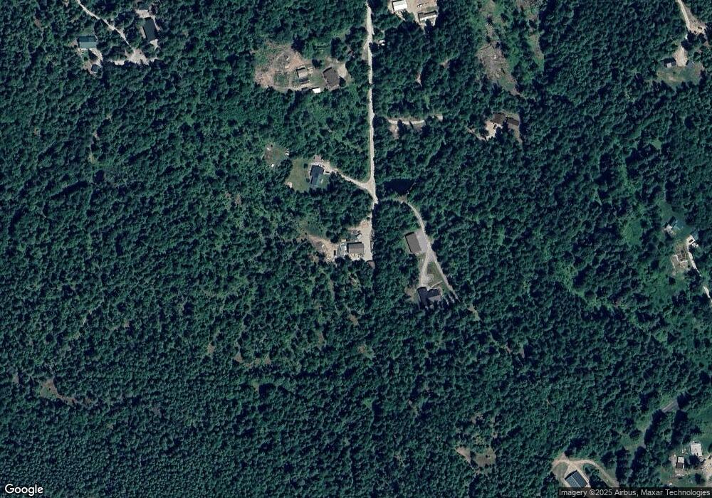
Map
Nearby Homes
- NNA Janish Dr
- NNA 20.83acs Destiny Ln
- 12515 Baldy Mountain Rd
- NNA 20 83acs Destiny Ln
- NNA Wood View Rd
- 399 Forest Knolls Dr
- NKA Carr Creek Rd
- 2500 Carr Creek Rd
- 817 Upland Dr
- 146 Parker Lane Lot 2
- 146 Parker Ln
- 24 Shiras Dr
- 108 Indian Meadows Rd
- NNA Cedar Ridge
- 494 Snug Harbor Rd
- 1718 Larch St
- Lot 1 Eagle View Ln
- 3212 Goodman Dr
- 1313 N Division Ave Unit A
- 1313 N Division Ave Unit C
- 192 Puffin Rd
- 178 Puffin Rd
- 137 Puffin Rd
- 0 Puffin Rd
- 0 Puffin Rd
- Lot 3 Puffin Rd
- Lot 4 Puffin Rd
- 84 Puffin Rd
- NNA Elk Point Lot B
- 75 Puffin Rd
- 218 Janish Dr
- 4 Puffin Rd
- 3 Puffin Rd
- 13586 Baldy Mountain Rd
- 13354 Baldy Mountain Rd
- 13156 Baldy Mountain Rd
- 262 Janish Dr
- 13098 Baldy Mountain Rd
- 13226 Baldy Mountain Rd
- 308 Janish Dr
Your Personal Tour Guide
Ask me questions while you tour the home.