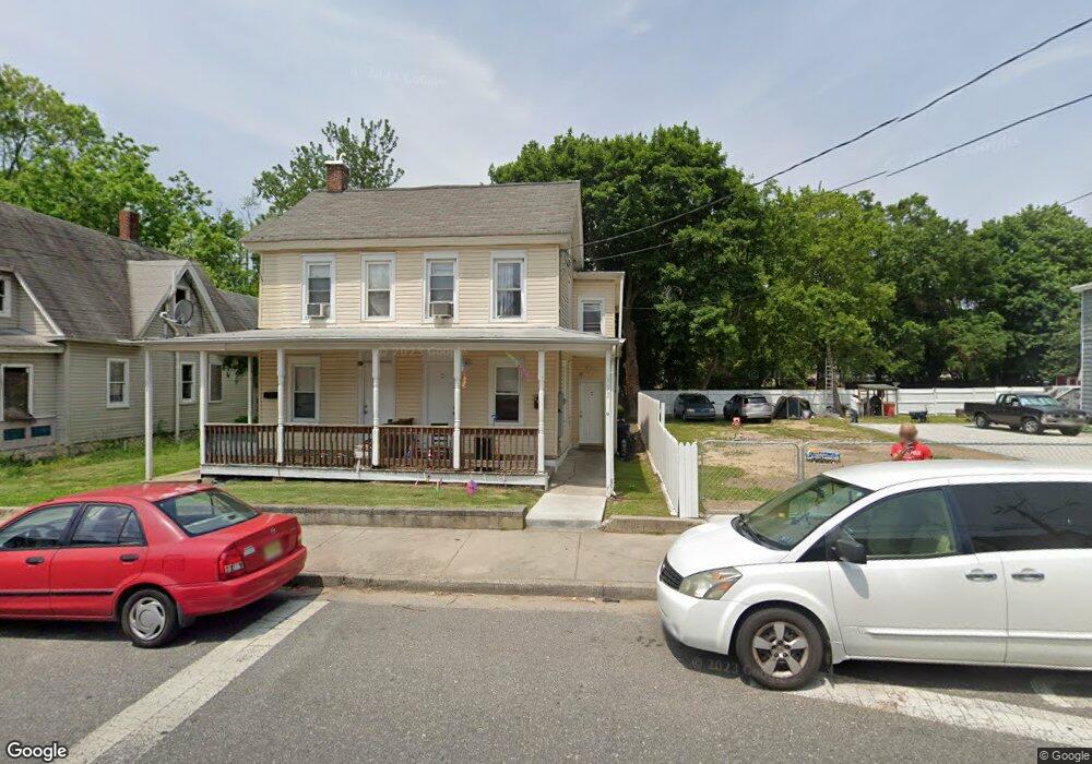
192 S Broad St Penns Grove, NJ 08069
Estimated Value: $148,399 - $175,000
--
Bed
--
Bath
1,424
Sq Ft
$115/Sq Ft
Est. Value
About This Home
This home is located at 192 S Broad St, Penns Grove, NJ 08069 and is currently estimated at $164,100, approximately $115 per square foot. 192 S Broad St is a home located in Salem County with nearby schools including Lafayette-Pershing Elementary School, Paul W. Carleton Elementary School, and Field Street Elementary School.
Ownership History
Date
Name
Owned For
Owner Type
Purchase Details
Closed on
Apr 30, 2007
Sold by
Basked Fish Holdings Llc
Bought by
Dodge Russell J
Current Estimated Value
Home Financials for this Owner
Home Financials are based on the most recent Mortgage that was taken out on this home.
Original Mortgage
$45,900
Outstanding Balance
$28,011
Interest Rate
6.23%
Mortgage Type
New Conventional
Estimated Equity
$136,089
Purchase Details
Closed on
May 19, 2000
Sold by
Sherry David J and Sherry Lynne S
Bought by
Ragan Timothy
Create a Home Valuation Report for This Property
The Home Valuation Report is an in-depth analysis detailing your home's value as well as a comparison with similar homes in the area
Home Values in the Area
Average Home Value in this Area
Purchase History
| Date | Buyer | Sale Price | Title Company |
|---|---|---|---|
| Dodge Russell J | $51,000 | -- | |
| Ragan Timothy | $15,000 | Heritage Title |
Source: Public Records
Mortgage History
| Date | Status | Borrower | Loan Amount |
|---|---|---|---|
| Open | Dodge Russell J | $45,900 |
Source: Public Records
Tax History Compared to Growth
Tax History
| Year | Tax Paid | Tax Assessment Tax Assessment Total Assessment is a certain percentage of the fair market value that is determined by local assessors to be the total taxable value of land and additions on the property. | Land | Improvement |
|---|---|---|---|---|
| 2025 | $2,989 | $53,900 | $20,500 | $33,400 |
| 2024 | $2,889 | $53,900 | $20,500 | $33,400 |
| 2023 | $2,889 | $53,900 | $20,500 | $33,400 |
| 2022 | $2,785 | $53,900 | $20,500 | $33,400 |
| 2021 | $2,665 | $53,900 | $20,500 | $33,400 |
| 2020 | $2,700 | $53,900 | $20,500 | $33,400 |
| 2019 | $2,711 | $53,900 | $20,500 | $33,400 |
| 2018 | $1,977 | $49,000 | $17,000 | $32,000 |
| 2017 | $1,984 | $49,000 | $17,000 | $32,000 |
| 2016 | $2,356 | $60,500 | $17,500 | $43,000 |
| 2015 | $2,257 | $60,500 | $17,500 | $43,000 |
| 2014 | $2,232 | $60,500 | $17,500 | $43,000 |
Source: Public Records
Map
Nearby Homes
- 204 206 S Broad St
- 260 S Broad St
- 65 S Broad St
- 49 Delaware Dr
- 0 Park Ave Unit NJSA2013690
- 32 Westminster Ave
- 106 S Broad St
- 0 Delaware Dr
- 85 State St
- 106 Sack Ave
- 15 Spring St
- 15 Walnut St
- 213 Garnet St
- 80 S Broad St
- 32 Walnut St
- 55 57 Walnut St
- 59-61 Walnut St
- 34 38 Cumberland Ave
- 83 Willis St
- 39 41 Cumberland Ave
- 194 S Broad St
- 198 S Broad St
- 186 S Broad St
- 200 S Broad St
- 182 S Broad St
- 204 S Broad St Unit 206
- 204-206 S Broad St
- 185 S Broad St
- 206 S Broad St
- 178 S Broad St
- 210 S Broad St Unit 208
- 193 S Broad St
- 183 S Broad St
- 191 S Broad St
- 189 S Broad St
- 176 S Broad St
- 197 S Broad St Unit 199
- 197 S Broad St Unit 199
- 197 S Broad St
- 177 S Broad St