Estimated Value: $249,942 - $287,000
3
Beds
1
Bath
1,585
Sq Ft
$167/Sq Ft
Est. Value
About This Home
This home is located at 192 Shady Acres Cir, Nixa, MO 65714 and is currently estimated at $264,736, approximately $167 per square foot. 192 Shady Acres Cir is a home with nearby schools including Deauville Gardens Elementary School, Hugh W. Gregg Elementary School, and Century Elementary School.
Ownership History
Date
Name
Owned For
Owner Type
Purchase Details
Closed on
May 24, 2012
Sold by
Lafferty Greg and Lafferty Carol
Bought by
Benco Properties Llc
Current Estimated Value
Purchase Details
Closed on
Apr 19, 2012
Sold by
Benco Properties Llc
Bought by
Lafferty Greg and Lafferty Carol
Purchase Details
Closed on
Sep 13, 2005
Sold by
Lafferty Greg E and Lafferty Carol A
Bought by
Benco Properties Llc
Purchase Details
Closed on
Jul 13, 2005
Sold by
Thornburg Beverly J
Bought by
Lafferty Greg and Lafferty Carol
Create a Home Valuation Report for This Property
The Home Valuation Report is an in-depth analysis detailing your home's value as well as a comparison with similar homes in the area
Home Values in the Area
Average Home Value in this Area
Purchase History
| Date | Buyer | Sale Price | Title Company |
|---|---|---|---|
| Benco Properties Llc | -- | None Available | |
| Lafferty Greg | -- | None Available | |
| Benco Properties Llc | -- | None Available | |
| Lafferty Greg | -- | None Available |
Source: Public Records
Tax History Compared to Growth
Tax History
| Year | Tax Paid | Tax Assessment Tax Assessment Total Assessment is a certain percentage of the fair market value that is determined by local assessors to be the total taxable value of land and additions on the property. | Land | Improvement |
|---|---|---|---|---|
| 2024 | $1,455 | $23,350 | -- | -- |
| 2023 | $1,455 | $23,350 | $0 | $0 |
| 2022 | $1,457 | $23,350 | $0 | $0 |
| 2021 | $1,458 | $23,350 | $0 | $0 |
| 2020 | $1,302 | $19,910 | $0 | $0 |
| 2019 | $1,302 | $19,910 | $0 | $0 |
| 2018 | $1,213 | $19,910 | $0 | $0 |
| 2017 | $1,213 | $19,910 | $0 | $0 |
| 2016 | $1,195 | $19,910 | $0 | $0 |
| 2015 | $1,196 | $19,910 | $19,910 | $0 |
| 2014 | $1,163 | $19,840 | $0 | $0 |
| 2013 | $12 | $19,840 | $0 | $0 |
| 2011 | $12 | $39,680 | $0 | $0 |
Source: Public Records
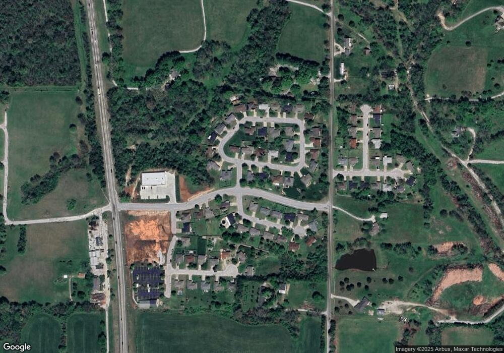
Map
Nearby Homes
- 209 Shady Acres Cir
- 287 Sunrise Dr
- 111 Daleview Cir
- 000 Citydel Rd W
- 000 Old Riverdale Rd
- 000 Croley Blvd Unit Lots 12,13, 14
- 138 W Silver Oak St
- 643 W Brook Hollow Rd
- 653 W Brook Hollow Rd
- 621 W Arbor Glenn Dr
- 609 W Arbor Glenn Dr
- 656 W Castor Loop
- 662 W Castor Loop
- 689 W Castor Loop
- 955 S Silverwood Ln
- 915 S Silverwood Ln
- 911 S Silverwood Ln
- 919 S Silverwood Ln
- 965 S Silverwood Ln
- 959 S Silverwood Ln
- 194 Shady Acres Cir
- 234 Shady Acres Cir
- 193 Shady Acres Cir
- 191 Shady Acres Cir
- 196 Shady Acres Cir
- 199 W Shady Oaks Dr
- 231 Shady Acres Cir
- 197 Shady Acres Cir
- 185 W Shady Oaks Dr
- 198 Shady Acres Cir
- 248 W Sunrise Dr
- 204 W Shady Oaks Dr
- 223 Shady Acres Cir
- 167 Shady Oak Dr
- 230 Shady Acres Cir
- 219 Shady Acres Cir
- 204 Shady Oak Dr
- 215 Shady Acres Cir
- 205 Shady Acres Cir
- 194 W Shady Oaks Dr