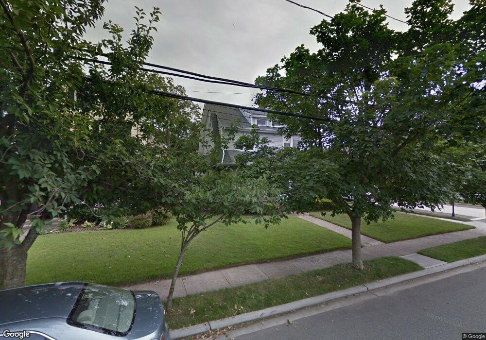
192 Sherman St Unit 1 Lynbrook, NY 11563
Estimated Value: $766,000 - $817,390
2
Beds
1
Bath
1,909
Sq Ft
$415/Sq Ft
Est. Value
About This Home
This home is located at 192 Sherman St Unit 1, Lynbrook, NY 11563 and is currently estimated at $791,695, approximately $414 per square foot. 192 Sherman St Unit 1 is a home located in Nassau County with nearby schools including Lynbrook Senior High School, Our Lady Of Peace School, and Holy Name of Mary School.
Ownership History
Date
Name
Owned For
Owner Type
Purchase Details
Closed on
Nov 21, 2025
Sold by
Gormley Kevin and Gormley Patricia
Bought by
Kelcz Michael J
Current Estimated Value
Home Financials for this Owner
Home Financials are based on the most recent Mortgage that was taken out on this home.
Original Mortgage
$541,500
Outstanding Balance
$540,980
Interest Rate
6.19%
Mortgage Type
New Conventional
Estimated Equity
$250,715
Purchase Details
Closed on
Dec 29, 2017
Sold by
Troiano Family Trust
Bought by
Gormely Kevin and Gormely Patricia
Home Financials for this Owner
Home Financials are based on the most recent Mortgage that was taken out on this home.
Original Mortgage
$348,750
Interest Rate
3.9%
Mortgage Type
New Conventional
Purchase Details
Closed on
Oct 25, 2008
Sold by
Troiano Norma and Troiano Norma B
Bought by
Troiano Steven and Troiano Michael A
Create a Home Valuation Report for This Property
The Home Valuation Report is an in-depth analysis detailing your home's value as well as a comparison with similar homes in the area
Home Values in the Area
Average Home Value in this Area
Purchase History
| Date | Buyer | Sale Price | Title Company |
|---|---|---|---|
| Kelcz Michael J | $774,000 | Stewart Title Guaranty Co | |
| Gormely Kevin | $465,000 | -- | |
| Troiano Steven | -- | Attorney | |
| Troiano Steven | -- | Attorney |
Source: Public Records
Mortgage History
| Date | Status | Borrower | Loan Amount |
|---|---|---|---|
| Open | Kelcz Michael J | $541,500 | |
| Previous Owner | Gormely Kevin | $348,750 |
Source: Public Records
Tax History
| Year | Tax Paid | Tax Assessment Tax Assessment Total Assessment is a certain percentage of the fair market value that is determined by local assessors to be the total taxable value of land and additions on the property. | Land | Improvement |
|---|---|---|---|---|
| 2025 | $11,259 | $494 | $180 | $314 |
| 2024 | $1,096 | $519 | $189 | $330 |
| 2023 | $10,392 | $508 | $185 | $323 |
| 2022 | $10,392 | $547 | $199 | $348 |
| 2021 | $16,159 | $528 | $192 | $336 |
| 2020 | $10,730 | $651 | $492 | $159 |
| 2019 | $1,093 | $697 | $494 | $203 |
| 2018 | $8,896 | $744 | $0 | $0 |
| 2017 | $10,512 | $936 | $527 | $409 |
| 2016 | $11,865 | $936 | $527 | $409 |
| 2015 | $1,390 | $936 | $527 | $409 |
| 2014 | $1,390 | $936 | $527 | $409 |
| 2013 | $1,275 | $936 | $527 | $409 |
Source: Public Records
Map
Nearby Homes
- 57 Nieman Ave
- 127 Smith St
- 86 Taft Ave
- 29 Summit Ave
- 504 Merrick Rd Unit 4E
- 504 Merrick Rd Unit 2k
- 504 Merrick Rd Unit 3G
- 103 Smith St Unit 1
- 181 Walnut St
- 14 Hawthorne St
- 2 Fowler Ave Unit 206
- 2 Fowler Ave Unit 228
- 20 Daley Place Unit 128
- 30 Daley Place Unit 136
- 30 Daley Place Unit 247
- 20 Daley Place Unit 225
- 30 Daley Place Unit 146
- 75 Noble St Unit 121
- 40 Hendrickson Ave
- 64 Hodson Ave
- 192 Sherman St Unit Upper
- 188 Sherman St
- 3 Palisade Ave Unit 2
- 182 Sherman St
- 200 Sherman St
- 195 Sherman St
- 178 Sherman St
- 5 Sylvester Place
- 208 Sherman St
- 7 Palisade Ave
- 199 Sherman St
- 189 Sherman St
- 205 Sherman St
- 174 Sherman St
- 85 Curtis Place
- 81 Curtis Place
- 183 Sherman St
- 11 Winter St
- 4 Sylvester Place
- 209 Sherman St
Your Personal Tour Guide
Ask me questions while you tour the home.