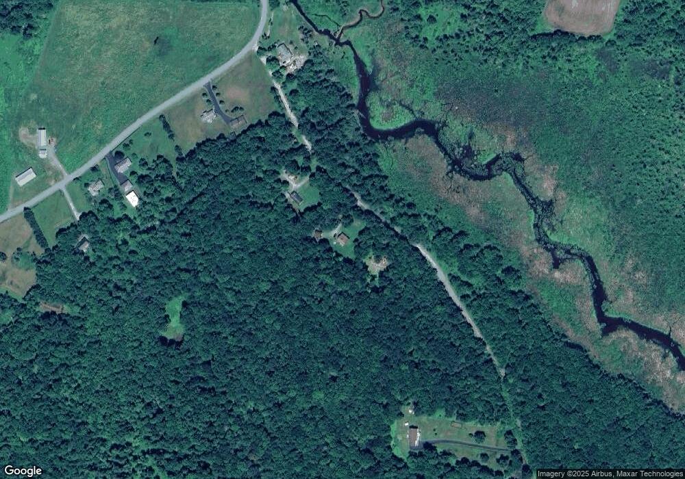
192 Stevenson Rd Swan Lake, NY 12783
Estimated Value: $362,907 - $429,000
3
Beds
2
Baths
1,668
Sq Ft
$244/Sq Ft
Est. Value
About This Home
This home is located at 192 Stevenson Rd, Swan Lake, NY 12783 and is currently estimated at $406,727, approximately $243 per square foot. 192 Stevenson Rd is a home located in Sullivan County with nearby schools including Sullivan West Elementary School and Sullivan West High School at Lake Huntington.
Ownership History
Date
Name
Owned For
Owner Type
Purchase Details
Closed on
May 28, 2021
Sold by
Parks Nancy
Bought by
Fanning Melissa A and Fanning Peter
Current Estimated Value
Home Financials for this Owner
Home Financials are based on the most recent Mortgage that was taken out on this home.
Original Mortgage
$228,779
Outstanding Balance
$207,131
Interest Rate
2.9%
Mortgage Type
FHA
Estimated Equity
$199,596
Purchase Details
Closed on
Sep 7, 2007
Sold by
Parks Ronald
Bought by
Parks Nancy
Create a Home Valuation Report for This Property
The Home Valuation Report is an in-depth analysis detailing your home's value as well as a comparison with similar homes in the area
Home Values in the Area
Average Home Value in this Area
Purchase History
| Date | Buyer | Sale Price | Title Company |
|---|---|---|---|
| Fanning Melissa A | $233,000 | None Available | |
| Parks Nancy | -- | -- |
Source: Public Records
Mortgage History
| Date | Status | Borrower | Loan Amount |
|---|---|---|---|
| Open | Fanning Melissa A | $228,779 |
Source: Public Records
Tax History Compared to Growth
Tax History
| Year | Tax Paid | Tax Assessment Tax Assessment Total Assessment is a certain percentage of the fair market value that is determined by local assessors to be the total taxable value of land and additions on the property. | Land | Improvement |
|---|---|---|---|---|
| 2024 | $5,929 | $121,000 | $23,400 | $97,600 |
| 2023 | $5,909 | $121,000 | $23,400 | $97,600 |
| 2022 | $5,294 | $108,700 | $23,400 | $85,300 |
| 2021 | $5,483 | $108,700 | $23,400 | $85,300 |
| 2020 | $5,640 | $108,700 | $23,400 | $85,300 |
| 2019 | $6,407 | $108,700 | $23,400 | $85,300 |
| 2018 | $5,200 | $108,700 | $23,400 | $85,300 |
| 2017 | $6,407 | $108,700 | $23,400 | $85,300 |
| 2016 | $4,486 | $108,700 | $23,400 | $85,300 |
| 2015 | -- | $108,700 | $23,400 | $85,300 |
| 2014 | -- | $108,700 | $23,400 | $85,300 |
Source: Public Records
Map
Nearby Homes
- 625 Briscoe Rd
- TBD George Segar Rd
- 25 George Segar Rd
- 25 George Segar Rd
- 969 Hurd Rd
- 987 Hurd Rd
- 811 Briscoe Rd
- 111 Jim Stephenson Rd
- 938 Horseshoe Lake Rd
- TBD Jim Stephenson Rd
- 0 Briscoe Rd Unit KEY905705
- 17 Gold Dan Rd Unit 56C
- 202 Behr Rd
- 377 Hubert Rd
- 281 Hubert Rd
- 306 Cutler Rd
- 233 Goldsmith Rd
- 161 White Sulphur Rd
- 521 Perry Rd
- Lot 68 Shore Rd
- 17 Stevenson Rd
- 130 Stevenson Rd
- 27 Fairweather Rd
- 37 Fairweather Rd
- 49 Fairweather Rd
- 55 Fairweather Rd
- 663 Briscoe Rd
- 50 Fairweather Rd
- 633 Briscoe Rd
- 81 Fairweather Rd
- 671 Briscoe Rd
- 627 Briscoe Rd
- 625 Briscoe Rd Unit H4216464
- 615 Briscoe Rd
- 41 Fairweather Rd
- 97 Fairweather Rd Unit 37
- 88 Fairweather Rd
- 582 Briscoe Rd
- 709 Briscoe Rd
- TBD Fairweather Rd
