192 Stonepile St Baldwin, GA 30511
Estimated Value: $225,000 - $304,000
3
Beds
3
Baths
1,896
Sq Ft
$144/Sq Ft
Est. Value
About This Home
This home is located at 192 Stonepile St, Baldwin, GA 30511 and is currently estimated at $272,824, approximately $143 per square foot. 192 Stonepile St is a home located in Banks County with nearby schools including Banks County Primary School, Banks County Elementary School, and Banks County Middle School.
Ownership History
Date
Name
Owned For
Owner Type
Purchase Details
Closed on
May 22, 2020
Sold by
My Home Watcher & Svcs Inc
Bought by
Kemsley Scott and Kemsley Kendall
Current Estimated Value
Home Financials for this Owner
Home Financials are based on the most recent Mortgage that was taken out on this home.
Original Mortgage
$145,600
Outstanding Balance
$128,739
Interest Rate
3.3%
Mortgage Type
New Conventional
Estimated Equity
$144,085
Purchase Details
Closed on
May 29, 2019
Sold by
Watts Earnest Roger Estate
Bought by
My Home Weather & Svcs Inc
Create a Home Valuation Report for This Property
The Home Valuation Report is an in-depth analysis detailing your home's value as well as a comparison with similar homes in the area
Home Values in the Area
Average Home Value in this Area
Purchase History
| Date | Buyer | Sale Price | Title Company |
|---|---|---|---|
| Kemsley Scott | $182,000 | -- | |
| My Home Weather & Svcs Inc | $65,000 | -- |
Source: Public Records
Mortgage History
| Date | Status | Borrower | Loan Amount |
|---|---|---|---|
| Open | Kemsley Scott | $145,600 |
Source: Public Records
Tax History
| Year | Tax Paid | Tax Assessment Tax Assessment Total Assessment is a certain percentage of the fair market value that is determined by local assessors to be the total taxable value of land and additions on the property. | Land | Improvement |
|---|---|---|---|---|
| 2025 | $1,530 | $84,972 | $8,507 | $76,465 |
| 2024 | $1,530 | $82,173 | $7,734 | $74,439 |
| 2023 | $1,580 | $74,881 | $7,509 | $67,372 |
| 2022 | $1,355 | $66,463 | $7,456 | $59,007 |
| 2021 | $1,279 | $59,248 | $3,267 | $55,981 |
| 2020 | $1,197 | $52,216 | $3,267 | $48,949 |
| 2019 | $407 | $37,658 | $2,970 | $34,688 |
| 2018 | $348 | $34,834 | $2,970 | $31,864 |
| 2017 | $350 | $34,338 | $2,970 | $31,368 |
| 2016 | $360 | $34,338 | $2,970 | $31,368 |
| 2015 | $401 | $37,080 | $5,712 | $31,368 |
| 2014 | $401 | $37,080 | $5,712 | $31,368 |
| 2013 | -- | $37,080 | $5,712 | $31,368 |
Source: Public Records
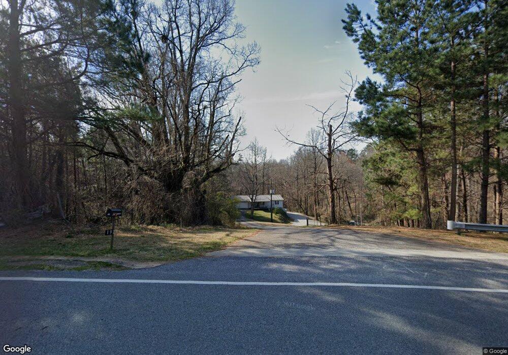
Map
Nearby Homes
- 0 Georgia 105
- 0 Highway 105 Unit 10421143
- 800 Park Ave
- 415 Ivory Dr
- 392 King St
- LOT 6 Parker Point
- 0 Baldwin Heights Rd Unit 10697704
- 0 Purvis Rd Unit 10698457
- 155 Dilmus Ct
- 0 Highway 441 Bypass Unit 10428967
- 170 Sequoyah Dr
- 294 Hillcrest Heights
- 940 Purvis Rd
- 391 Yonah St
- 0 Irvin St
- 167 South St
- 169 Short Ave
- 125 Maple St
- 169 Esta St
- 266 Magnolia Villas Dr
- 190 Stonepile St
- 220 Stonepile St
- 185 Stonepile St
- 0 Stonepile St Unit 7515551
- 125 Hannah Hill Ln
- 200 Sunrise Ridge Rd
- 0 Smoke Rise Dr Unit 2 8055320
- 0 Homer Rd Unit 1,2,4,5,6 8036608
- 0 Homer Rd Unit 8827798
- 117 Hannah Hill Ln
- 248 Stonepile St
- 349 Baldwin Falls Rd
- 280 Walden St
- 401 Baldwin Falls Rd
- 295 Baldwin Falls Rd
- 290 Landrum St
- 800 Baldwin Falls Rd
- 250 Sunrise Ridge Rd
- 225 Baldwin Falls Rd
- 390 Stonepile St
Your Personal Tour Guide
Ask me questions while you tour the home.