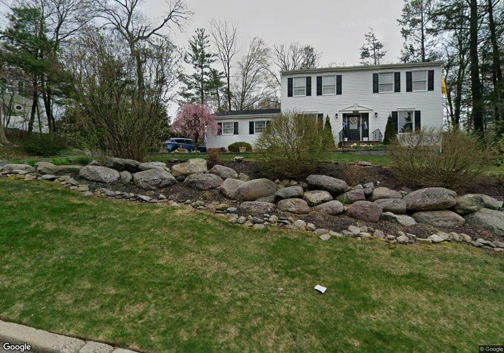
192 Vreeland Rd West Milford, NJ 07480
Estimated Value: $591,000 - $677,000
--
Bed
--
Bath
2,566
Sq Ft
$247/Sq Ft
Est. Value
About This Home
This home is located at 192 Vreeland Rd, West Milford, NJ 07480 and is currently estimated at $634,872, approximately $247 per square foot. 192 Vreeland Rd is a home located in Passaic County with nearby schools including Macopin Middle School and West Milford High School.
Ownership History
Date
Name
Owned For
Owner Type
Purchase Details
Closed on
May 13, 2002
Sold by
Difabrizio Donato
Bought by
Rosone Edward and Rosone Donna
Current Estimated Value
Home Financials for this Owner
Home Financials are based on the most recent Mortgage that was taken out on this home.
Original Mortgage
$187,000
Outstanding Balance
$79,352
Interest Rate
7%
Mortgage Type
FHA
Estimated Equity
$555,520
Purchase Details
Closed on
May 23, 1996
Sold by
O'Connell Edward and O'Connell Danielle
Bought by
Difabrizzio Donato and Difabrizzio Theresa
Home Financials for this Owner
Home Financials are based on the most recent Mortgage that was taken out on this home.
Original Mortgage
$200,000
Interest Rate
7.91%
Create a Home Valuation Report for This Property
The Home Valuation Report is an in-depth analysis detailing your home's value as well as a comparison with similar homes in the area
Home Values in the Area
Average Home Value in this Area
Purchase History
| Date | Buyer | Sale Price | Title Company |
|---|---|---|---|
| Rosone Edward | $312,000 | -- | |
| Difabrizzio Donato | $222,500 | -- |
Source: Public Records
Mortgage History
| Date | Status | Borrower | Loan Amount |
|---|---|---|---|
| Open | Rosone Edward | $187,000 | |
| Previous Owner | Difabrizzio Donato | $200,000 |
Source: Public Records
Tax History Compared to Growth
Tax History
| Year | Tax Paid | Tax Assessment Tax Assessment Total Assessment is a certain percentage of the fair market value that is determined by local assessors to be the total taxable value of land and additions on the property. | Land | Improvement |
|---|---|---|---|---|
| 2025 | $13,362 | $329,600 | $109,200 | $220,400 |
| 2024 | $13,431 | $329,600 | $109,200 | $220,400 |
| 2022 | $12,749 | $329,600 | $109,200 | $220,400 |
| 2021 | $12,475 | $329,600 | $109,200 | $220,400 |
| 2020 | $12,344 | $329,600 | $109,200 | $220,400 |
| 2019 | $12,179 | $329,600 | $109,200 | $220,400 |
| 2018 | $12,149 | $329,600 | $109,200 | $220,400 |
| 2017 | $12,205 | $329,600 | $109,200 | $220,400 |
| 2016 | $12,225 | $329,600 | $109,200 | $220,400 |
| 2015 | $12,083 | $329,600 | $109,200 | $220,400 |
| 2014 | $11,790 | $329,600 | $109,200 | $220,400 |
Source: Public Records
Map
Nearby Homes
- 2 Iron Hill
- 45 Heritage Dr
- 2 Heritage Dr
- 33 Eagles Nest Terrace
- 68 Heritage Dr
- 11 Eagles Nest Terrace
- 60 Eagles Nest Terrace
- 82 Heritage Dr
- 91 Heritage Dr
- 24 Eagles Nest Terrace
- 1731 MacOpin Rd
- 1772 MacOpin Rd
- 0 Rock Ledge Rd Unit 25030488
- 0 Rock Ledge Rd Unit 3983243
- 17 Camelot Dr
- 7 Rockburn Pass
- 0 Laurel Hollow
- 430 Ridge Rd
- 16 Pond View Dr
- 24 Lozier Ct
- 196 Vreeland Rd
- 189 Vreeland Rd
- 195 Vreeland Rd
- 186 Vreeland Rd
- 183 Vreeland Rd
- 177 Ridge Rd
- 180 Vreeland Rd
- 4 Rolling Ridge Rd
- 1 Iron Hill
- 201 Ridge Rd
- 177 Vreeland Rd
- 6 Rolling Ridge Rd
- 5 Rolling Ridge Rd
- 171 Ridge Rd
- 19 Heritage Dr
- 173 Vreeland Rd
- 172 Vreeland Rd
- 26 Heritage Dr
- 36 Heritage Dr
- 30 Heritage Dr