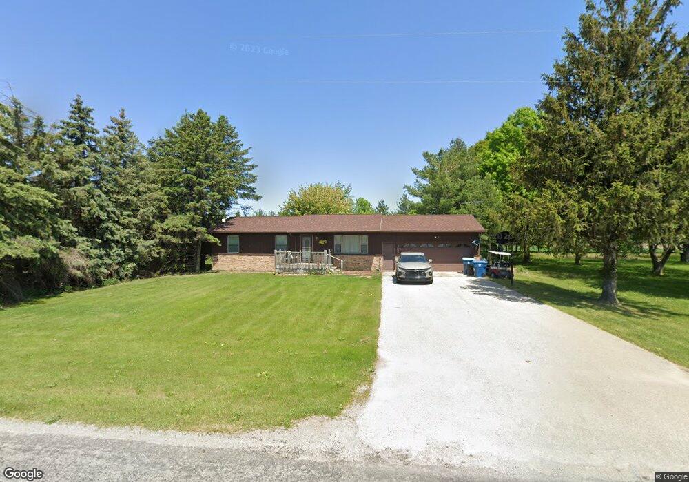
192 W Wilder Rd Auburn, MI 48611
Estimated Value: $185,898 - $210,000
2
Beds
2
Baths
1,056
Sq Ft
$185/Sq Ft
Est. Value
About This Home
This home is located at 192 W Wilder Rd, Auburn, MI 48611 and is currently estimated at $195,475, approximately $185 per square foot. 192 W Wilder Rd is a home located in Bay County with nearby schools including Auburn Elementary School, Western Middle School, and Bay City Western High School.
Ownership History
Date
Name
Owned For
Owner Type
Purchase Details
Closed on
Jun 7, 2007
Sold by
Bruessow Matthew and Bruessow Sandra K
Bought by
Redmond Jason and Redmond Janelle
Current Estimated Value
Home Financials for this Owner
Home Financials are based on the most recent Mortgage that was taken out on this home.
Original Mortgage
$126,709
Outstanding Balance
$77,575
Interest Rate
6.2%
Mortgage Type
FHA
Estimated Equity
$117,900
Purchase Details
Closed on
Jul 10, 1996
Sold by
Aspin Elden Lloyd
Bought by
Bruessow Matthew and Bruessow Sandra K
Create a Home Valuation Report for This Property
The Home Valuation Report is an in-depth analysis detailing your home's value as well as a comparison with similar homes in the area
Home Values in the Area
Average Home Value in this Area
Purchase History
| Date | Buyer | Sale Price | Title Company |
|---|---|---|---|
| Redmond Jason | $128,500 | None Available | |
| Bruessow Matthew | $83,500 | -- |
Source: Public Records
Mortgage History
| Date | Status | Borrower | Loan Amount |
|---|---|---|---|
| Open | Redmond Jason | $126,709 |
Source: Public Records
Tax History Compared to Growth
Tax History
| Year | Tax Paid | Tax Assessment Tax Assessment Total Assessment is a certain percentage of the fair market value that is determined by local assessors to be the total taxable value of land and additions on the property. | Land | Improvement |
|---|---|---|---|---|
| 2025 | $2,175 | $76,400 | $0 | $0 |
| 2024 | $1,117 | $73,300 | $0 | $0 |
| 2023 | $1,063 | $66,750 | $0 | $0 |
| 2022 | $1,987 | $59,350 | $0 | $0 |
| 2021 | $1,837 | $55,600 | $55,600 | $0 |
| 2020 | $1,715 | $53,300 | $53,300 | $0 |
| 2019 | $1,644 | $48,300 | $0 | $0 |
| 2018 | $1,566 | $44,700 | $0 | $0 |
| 2017 | $1,497 | $41,750 | $0 | $0 |
| 2016 | $1,611 | $44,750 | $0 | $44,750 |
| 2015 | -- | $48,900 | $0 | $48,900 |
| 2014 | -- | $48,900 | $0 | $48,900 |
Source: Public Records
Map
Nearby Homes
- 4649 Stephanie Ct
- 230 W Midland Rd
- 268 W Midland Rd
- 439 Wheeler Rd
- 0 W North Union Rd Unit 50166876
- 0 Price St
- 319 Price St
- 221 Sycamore Ln
- V/L N Garfield Rd
- 423 Sunshine Ct
- 937 Appaloosa Pass
- 1186 W Midland Rd
- 4648 Meadow Ct
- 4760 Putt Ln
- 1365 W North Union Rd
- 1048 Pheasant Dr
- 1029 Raven Dr
- 2749 8 Mile Rd
- 4819 Cardinal Dr
- 1280 E North Union Rd
- 210 W Wilder Rd
- 238 W Wilder Rd
- 166 W Wilder Rd
- 240 W Wilder Rd
- 106 W Wilder Rd
- 312 W Wilder Rd
- 72 W Wilder Rd
- 46 Wilder Rd
- 40 Wilder Rd
- 3982 8 Mile Rd
- 0 S 8 Mile Unit NORTH UNION 50073692
- 4068 8 Mile Rd
- 4005 8 Mile Rd
- 4005 8 Mile Rd
- 3957 8 Mile Rd
- 4079 8 Mile Rd
- 3862 8 Mile Rd
- 3883 8 Mile Rd
- 3863 8 Mile Rd
- 83 Wilder Rd