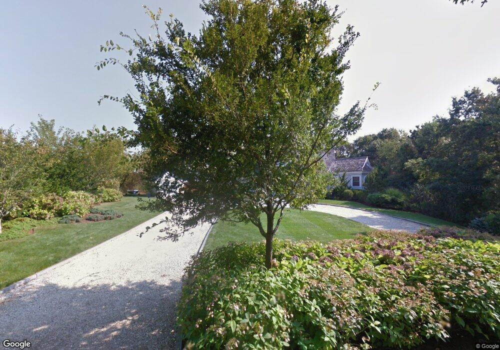
192 Waterside Dr North Falmouth, MA 02556
Estimated Value: $3,393,287 - $6,010,000
5
Beds
5
Baths
3,606
Sq Ft
$1,276/Sq Ft
Est. Value
About This Home
This home is located at 192 Waterside Dr, North Falmouth, MA 02556 and is currently estimated at $4,602,096, approximately $1,276 per square foot. 192 Waterside Dr is a home located in Barnstable County with nearby schools including North Falmouth Elementary School, Morse Pond School, and Lawrence School.
Ownership History
Date
Name
Owned For
Owner Type
Purchase Details
Closed on
Feb 29, 2008
Sold by
Pappas Diane C
Bought by
Tryder Rt and Tryder
Current Estimated Value
Purchase Details
Closed on
Nov 28, 2007
Sold by
Pappas Aris H and Pappas Diane C
Bought by
Pappas Diane C
Create a Home Valuation Report for This Property
The Home Valuation Report is an in-depth analysis detailing your home's value as well as a comparison with similar homes in the area
Home Values in the Area
Average Home Value in this Area
Purchase History
| Date | Buyer | Sale Price | Title Company |
|---|---|---|---|
| Tryder Rt | $2,590,000 | -- | |
| Tryder Rt | $2,590,000 | -- | |
| Tryder Rt | -- | -- | |
| Pappas Diane C | -- | -- | |
| Pappas Diane C | -- | -- | |
| Pappas Diane C | -- | -- |
Source: Public Records
Mortgage History
| Date | Status | Borrower | Loan Amount |
|---|---|---|---|
| Previous Owner | Pappas Diane C | $633,000 |
Source: Public Records
Tax History Compared to Growth
Tax History
| Year | Tax Paid | Tax Assessment Tax Assessment Total Assessment is a certain percentage of the fair market value that is determined by local assessors to be the total taxable value of land and additions on the property. | Land | Improvement |
|---|---|---|---|---|
| 2025 | $20,746 | $3,534,300 | $2,284,900 | $1,249,400 |
| 2024 | $21,546 | $3,430,900 | $2,284,900 | $1,146,000 |
| 2023 | $21,647 | $3,128,200 | $2,094,500 | $1,033,700 |
| 2022 | $21,446 | $2,664,100 | $1,718,900 | $945,200 |
| 2021 | $22,010 | $2,589,400 | $1,644,200 | $945,200 |
| 2020 | $20,933 | $2,436,900 | $1,494,800 | $942,100 |
| 2019 | $20,529 | $2,398,200 | $1,494,800 | $903,400 |
| 2018 | $20,201 | $2,348,900 | $1,494,800 | $854,100 |
| 2017 | $20,191 | $2,367,100 | $1,494,800 | $872,300 |
| 2016 | $19,747 | $2,359,200 | $1,486,900 | $872,300 |
| 2015 | $19,124 | $2,335,100 | $1,486,900 | $848,200 |
| 2014 | $17,910 | $2,197,600 | $1,486,800 | $710,800 |
Source: Public Records
Map
Nearby Homes
- 196 Waterside Dr
- 190 Waterside Dr
- 188 Waterside Dr
- 195 Waterside Dr
- 202 Waterside Dr
- 200 Waterside Dr
- 180 Waterside Dr
- 206 Waterside Dr
- 279 Wild Harbor Rd
- 52 Deer Run Ln
- 48 Deer Run Ln
- 176 Waterside Dr
- 78 Anchorage Rd
- 185 Waterside Dr
- 78 Anchorage Rd
- 271 Wild Harbor Rd
- 56 Deer Run Ln
- 168 Waterside Dr
- 208 Waterside Dr
- 81 Anchorage Rd