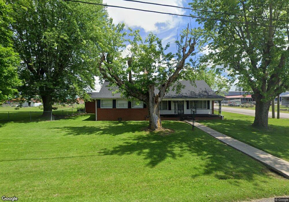
192 West St Brodhead, KY 40409
Estimated Value: $191,097 - $282,000
5
Beds
2
Baths
3,300
Sq Ft
$74/Sq Ft
Est. Value
About This Home
This home is located at 192 West St, Brodhead, KY 40409 and is currently estimated at $243,774, approximately $73 per square foot. 192 West St is a home located in Rockcastle County with nearby schools including Rockcastle County High School.
Create a Home Valuation Report for This Property
The Home Valuation Report is an in-depth analysis detailing your home's value as well as a comparison with similar homes in the area
Home Values in the Area
Average Home Value in this Area
Tax History Compared to Growth
Tax History
| Year | Tax Paid | Tax Assessment Tax Assessment Total Assessment is a certain percentage of the fair market value that is determined by local assessors to be the total taxable value of land and additions on the property. | Land | Improvement |
|---|---|---|---|---|
| 2024 | $819 | $100,000 | $0 | $0 |
| 2023 | $403 | $95,000 | $0 | $0 |
| 2022 | $447 | $95,000 | $0 | $0 |
| 2021 | $451 | $95,000 | $0 | $0 |
| 2020 | $460 | $95,000 | $0 | $0 |
| 2019 | $457 | $95,000 | $0 | $0 |
| 2018 | $458 | $93,500 | $0 | $0 |
| 2017 | $455 | $93,500 | $0 | $0 |
| 2016 | $447 | $93,000 | $0 | $0 |
| 2015 | -- | $93,000 | $0 | $0 |
| 2010 | -- | $90,000 | $0 | $0 |
Source: Public Records
Map
Nearby Homes
- 15 Lane St
- 152 Pike St
- 152 Tyree St
- 213 Bluebird Ln
- 14 Willow Ave
- 1924 Kentucky 3245
- 5256 Hwy 1326
- 336 Union Chapel Rd
- 91 Barnett Rd
- 2870 Chestnut Grove Rd
- 2751 Brindle Ridge Rd
- 9550 Dysart Way
- 838 Menifee Hill Rd
- 54 Thraser Ln
- 1875 Highway 1326
- 261 Arvil Ln
- 1305 Maretburg Cemetery Rd
- 207 Maretburg Rd
- 49 Solar Dr
- 44 Solar Dr