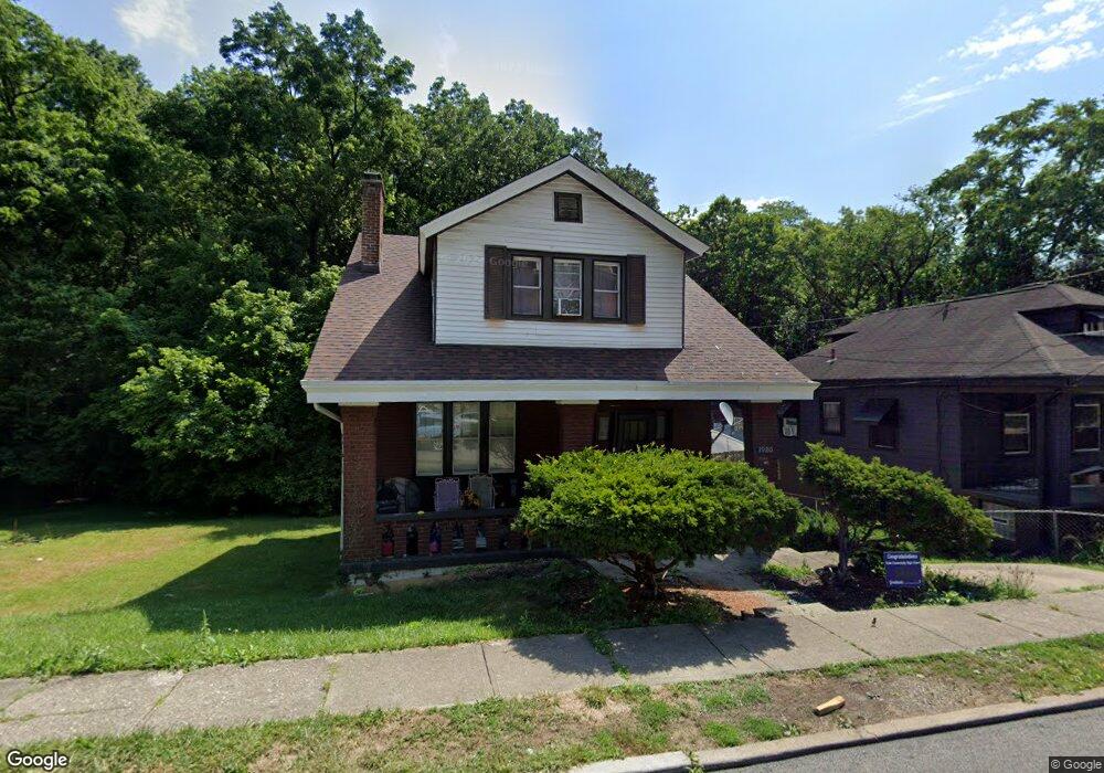
1920 Baltimore Ave Cincinnati, OH 45225
North Fairmount NeighborhoodEstimated Value: $81,000 - $113,000
3
Beds
1
Bath
938
Sq Ft
$101/Sq Ft
Est. Value
About This Home
This home is located at 1920 Baltimore Ave, Cincinnati, OH 45225 and is currently estimated at $95,092, approximately $101 per square foot. 1920 Baltimore Ave is a home located in Hamilton County with nearby schools including Ethel M. Taylor Academy, Robert A. Taft Information Technology High School, and Western Hills High School.
Ownership History
Date
Name
Owned For
Owner Type
Purchase Details
Closed on
Dec 28, 2020
Sold by
Griffie Michael J and The Michael J Griffie Trust
Bought by
Griffie Micfiael J
Current Estimated Value
Purchase Details
Closed on
Sep 23, 2015
Sold by
Griffie Michael J and Griffie Michael John
Bought by
Griffie Michael J and The Michael J Griffie Trust
Purchase Details
Closed on
Oct 15, 1997
Sold by
Griffie Amanda
Bought by
Griffie Michael J
Create a Home Valuation Report for This Property
The Home Valuation Report is an in-depth analysis detailing your home's value as well as a comparison with similar homes in the area
Home Values in the Area
Average Home Value in this Area
Purchase History
| Date | Buyer | Sale Price | Title Company |
|---|---|---|---|
| Griffie Micfiael J | -- | None Available | |
| Griffie Michael J | $500 | None Listed On Document | |
| Griffie Michael J | -- | Attorney | |
| Griffie Michael J | -- | -- |
Source: Public Records
Tax History
| Year | Tax Paid | Tax Assessment Tax Assessment Total Assessment is a certain percentage of the fair market value that is determined by local assessors to be the total taxable value of land and additions on the property. | Land | Improvement |
|---|---|---|---|---|
| 2025 | $1,048 | $16,296 | $2,093 | $14,203 |
| 2024 | $1,047 | $16,296 | $2,093 | $14,203 |
| 2023 | $1,049 | $16,296 | $2,093 | $14,203 |
| 2022 | $791 | $10,990 | $2,093 | $8,897 |
| 2021 | $731 | $10,990 | $2,093 | $8,897 |
| 2020 | $752 | $10,990 | $2,093 | $8,897 |
| 2019 | $747 | $9,993 | $1,904 | $8,089 |
| 2018 | $748 | $9,993 | $1,904 | $8,089 |
| 2017 | $710 | $9,993 | $1,904 | $8,089 |
| 2016 | $732 | $10,158 | $2,377 | $7,781 |
| 2015 | $661 | $10,158 | $2,377 | $7,781 |
| 2014 | $666 | $10,158 | $2,377 | $7,781 |
| 2013 | $670 | $10,056 | $2,352 | $7,704 |
Source: Public Records
Map
Nearby Homes
- 1965 Baltimore Ave
- 1859 Baltimore Ave
- 1808 Carll St
- 1797 Denham St
- 1793 Baltimore Ave
- 1781 Baltimore Ave
- 2594 Seegar Ave
- 2043 E Teralta Cir
- 2568 Trevor Place
- 2085 N Teralta Cir
- 2114 Saint Leo Place
- 2060 Bickel Ave
- 2065 Harrison Ave
- 1642 Sutter Ave
- 2082 Harrison Ave
- 1854 Knox St
- 1646 Pulte St
- 1970 Westwood Northern Blvd
- 2911 Moosewood Ct
- 1674 Baltimore Ave
- 1918 Baltimore Ave
- 1914 Baltimore Ave
- 1930 Baltimore Ave
- 1921 Baltimore Ave
- 1912 Baltimore Ave
- 1917 Baltimore Ave
- 1925 Baltimore Ave
- 1911 Baltimore Ave
- 1910 Baltimore Ave
- 1909 Baltimore Ave
- 1905 Baltimore Ave
- 1932 Arthur Place
- 1942 Baltimore Ave
- 1903 Baltimore Ave
- 1919 Arthur Place
- 1946 Baltimore Ave
- 1895 Baltimore Ave
- 2590 Brestel Rd
- 1891 Baltimore Ave
- 1958 Baltimore Ave
Your Personal Tour Guide
Ask me questions while you tour the home.