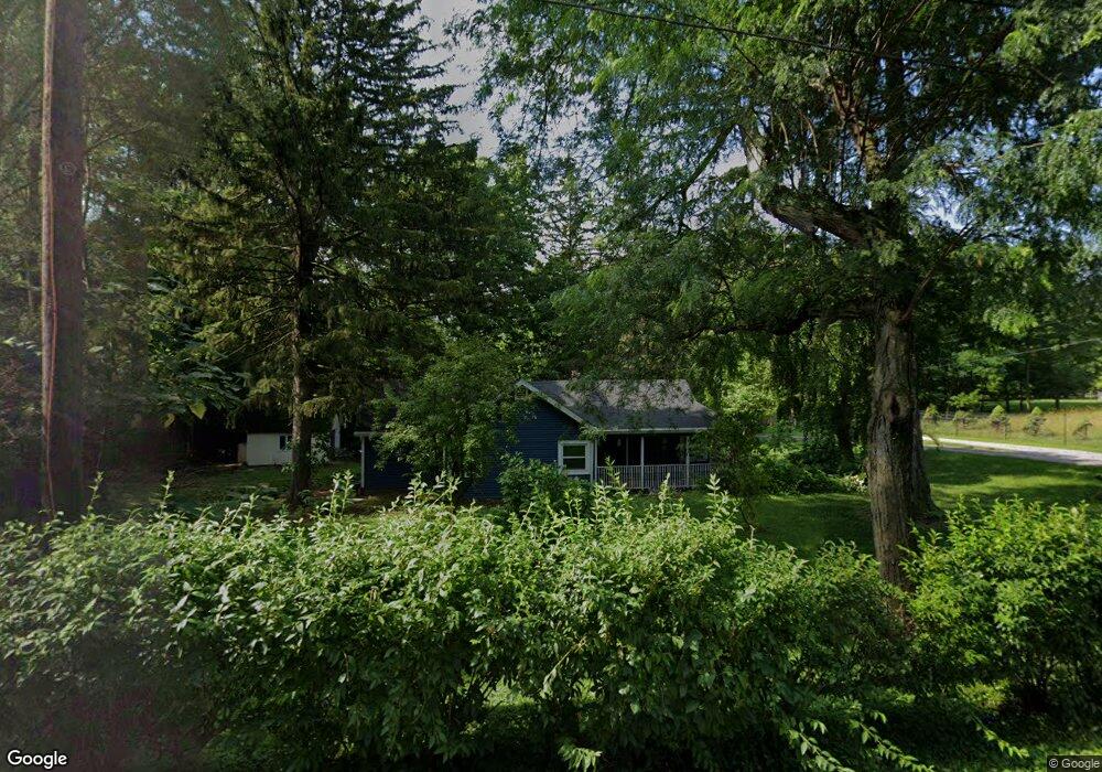
1920 Bartley Rd Dayton, OH 45414
Northridge NeighborhoodEstimated Value: $164,000 - $199,000
3
Beds
2
Baths
1,457
Sq Ft
$122/Sq Ft
Est. Value
About This Home
This home is located at 1920 Bartley Rd, Dayton, OH 45414 and is currently estimated at $177,741, approximately $121 per square foot. 1920 Bartley Rd is a home located in Montgomery County with nearby schools including Northridge High School, Horizon Science Academy-Dayton Elementary School, and Horizon Science Academy Dayton High School.
Ownership History
Date
Name
Owned For
Owner Type
Purchase Details
Closed on
Jul 29, 2019
Sold by
Burns Carol E
Bought by
Velez Vickie C
Current Estimated Value
Purchase Details
Closed on
Jul 24, 2009
Sold by
Velez Vickie C
Bought by
Burns Carol E
Home Financials for this Owner
Home Financials are based on the most recent Mortgage that was taken out on this home.
Original Mortgage
$90,000
Interest Rate
3.75%
Mortgage Type
Seller Take Back
Purchase Details
Closed on
Aug 31, 1999
Sold by
Soencer John M
Bought by
Quast Donald W
Home Financials for this Owner
Home Financials are based on the most recent Mortgage that was taken out on this home.
Original Mortgage
$82,800
Interest Rate
7.93%
Purchase Details
Closed on
Aug 24, 1999
Sold by
Quast Donald W
Bought by
Burns Carol E
Home Financials for this Owner
Home Financials are based on the most recent Mortgage that was taken out on this home.
Original Mortgage
$82,800
Interest Rate
7.93%
Purchase Details
Closed on
Mar 4, 1999
Sold by
Spencer John M
Bought by
Quast Donald W
Home Financials for this Owner
Home Financials are based on the most recent Mortgage that was taken out on this home.
Original Mortgage
$105,000
Interest Rate
11%
Mortgage Type
Seller Take Back
Create a Home Valuation Report for This Property
The Home Valuation Report is an in-depth analysis detailing your home's value as well as a comparison with similar homes in the area
Home Values in the Area
Average Home Value in this Area
Purchase History
| Date | Buyer | Sale Price | Title Company |
|---|---|---|---|
| Velez Vickie C | $90,000 | None Available | |
| Burns Carol E | $90,000 | None Available | |
| Quast Donald W | $114,000 | -- | |
| Burns Carol E | $111,000 | -- | |
| Quast Donald W | $114,000 | -- |
Source: Public Records
Mortgage History
| Date | Status | Borrower | Loan Amount |
|---|---|---|---|
| Previous Owner | Burns Carol E | $90,000 | |
| Previous Owner | Burns Carol E | $82,800 | |
| Previous Owner | Quast Donald W | $105,000 |
Source: Public Records
Tax History
| Year | Tax Paid | Tax Assessment Tax Assessment Total Assessment is a certain percentage of the fair market value that is determined by local assessors to be the total taxable value of land and additions on the property. | Land | Improvement |
|---|---|---|---|---|
| 2025 | $3,341 | $38,010 | $7,230 | $30,780 |
| 2024 | $3,042 | $38,010 | $7,230 | $30,780 |
| 2023 | $3,042 | $38,010 | $7,230 | $30,780 |
| 2022 | $2,834 | $27,160 | $5,170 | $21,990 |
| 2021 | $2,844 | $27,160 | $5,170 | $21,990 |
| 2020 | $2,843 | $27,160 | $5,170 | $21,990 |
| 2019 | $1,993 | $16,980 | $5,170 | $11,810 |
| 2018 | $1,995 | $16,980 | $5,170 | $11,810 |
| 2017 | $1,985 | $16,980 | $5,170 | $11,810 |
| 2016 | $1,944 | $15,990 | $5,170 | $10,820 |
| 2015 | $1,794 | $15,990 | $5,170 | $10,820 |
| 2014 | $1,794 | $15,990 | $5,170 | $10,820 |
| 2012 | -- | $16,320 | $5,170 | $11,150 |
Source: Public Records
Map
Nearby Homes
- 2020 Wilding Ave
- 2109 Cadie Ave
- 1657 Scenic Dr
- 2160 Martin Ave
- 2211 Martin Ave
- 2006 High Knoll Dr
- 5563 Fair Valley Rd
- 2110 Needmore Rd
- 6114 Miller Ln
- 2307 Stop 8 Rd
- 2118 Titus Ave
- 3280 Benchwood Rd
- 4908 Northcutt Place
- 3320 Benchwood Rd
- 6208 Rosecrest Dr
- 5356 Wood Dale Dr
- 8090 Dog Leg Rd
- 6513 Walnut Ridge Rd
- 5408 Galt Ct
- 3173 Autumn Ridge Ct
Your Personal Tour Guide
Ask me questions while you tour the home.