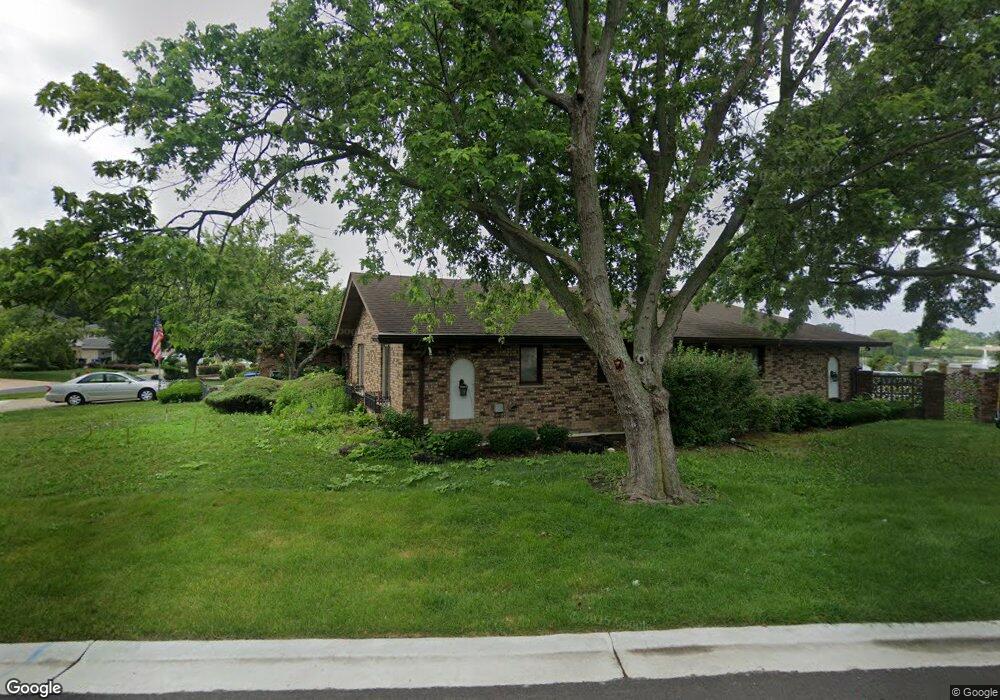
1920 Berry Ln Unit 2 Des Plaines, IL 60018
Estimated Value: $532,000 - $1,000,000
4
Beds
4
Baths
3,563
Sq Ft
$217/Sq Ft
Est. Value
About This Home
This home is located at 1920 Berry Ln Unit 2, Des Plaines, IL 60018 and is currently estimated at $774,050, approximately $217 per square foot. 1920 Berry Ln Unit 2 is a home located in Cook County with nearby schools including Central Elementary School, Chippewa Middle School, and Maine West High School.
Ownership History
Date
Name
Owned For
Owner Type
Purchase Details
Closed on
May 16, 2011
Sold by
Sodikoff Robert N
Bought by
Palmeri Mark J and Palmeri Akiko Grace
Current Estimated Value
Purchase Details
Closed on
Oct 15, 2009
Sold by
Parkway Bank & Trust Company
Bought by
Palmeri Joseph J and The Joseph J Palmeri Insurance Trust
Create a Home Valuation Report for This Property
The Home Valuation Report is an in-depth analysis detailing your home's value as well as a comparison with similar homes in the area
Home Values in the Area
Average Home Value in this Area
Purchase History
| Date | Buyer | Sale Price | Title Company |
|---|---|---|---|
| Palmeri Mark J | $333,500 | Cti | |
| Palmeri Joseph J | -- | None Available |
Source: Public Records
Tax History Compared to Growth
Tax History
| Year | Tax Paid | Tax Assessment Tax Assessment Total Assessment is a certain percentage of the fair market value that is determined by local assessors to be the total taxable value of land and additions on the property. | Land | Improvement |
|---|---|---|---|---|
| 2024 | $17,318 | $69,000 | $16,078 | $52,922 |
| 2023 | $17,754 | $69,000 | $16,078 | $52,922 |
| 2022 | $17,754 | $69,000 | $16,078 | $52,922 |
| 2021 | $13,679 | $44,500 | $13,934 | $30,566 |
| 2020 | $13,448 | $44,500 | $13,934 | $30,566 |
| 2019 | $13,456 | $50,000 | $13,934 | $36,066 |
| 2018 | $15,408 | $51,519 | $12,326 | $39,193 |
| 2017 | $15,135 | $51,519 | $12,326 | $39,193 |
| 2016 | $14,979 | $53,906 | $12,326 | $41,580 |
| 2015 | $13,587 | $44,943 | $10,718 | $34,225 |
| 2014 | $13,300 | $44,943 | $10,718 | $34,225 |
| 2013 | $12,969 | $44,943 | $10,718 | $34,225 |
Source: Public Records
Map
Nearby Homes
- 1640 S River Rd
- 1278 E River Dr
- 1700 E Forest Ave
- 1928 Kennicott Ct
- 1721 Linden St
- 2015 Busse Hwy
- 1010 Crabtree Ln
- 1489 E Algonquin Rd
- 1509 Center St
- 1689 S Elm St
- 1724 Illinois St
- 1632 S Elm St
- 960 S River Rd Unit 410
- 960 S River Rd Unit 208
- 1241 Elliott St
- 1696 S Elm St
- 1524 Oakwood Ave
- 1100 Potter Rd
- 1316 N Northwest Hwy
- 1715 Pavilion Way Unit 205