1920 Burning Tree Norman, OK 73071
Hall Park NeighborhoodEstimated Value: $455,000 - $625,000
3
Beds
4
Baths
2,358
Sq Ft
$223/Sq Ft
Est. Value
About This Home
This home is located at 1920 Burning Tree, Norman, OK 73071 and is currently estimated at $525,134, approximately $222 per square foot. 1920 Burning Tree is a home with nearby schools including Eisenhower Elementary School, Longfellow Middle School, and Norman North High School.
Ownership History
Date
Name
Owned For
Owner Type
Purchase Details
Closed on
Jan 8, 2018
Sold by
Moss Karuina N and Moss Brandon V
Bought by
Moss Karinas N and Claros Va Gifting Trust
Current Estimated Value
Purchase Details
Closed on
Dec 7, 2017
Sold by
Moss Karina N and Moss Jorge N
Bought by
Moss Karina N
Purchase Details
Closed on
May 28, 2015
Sold by
Hallbrooke Development Group Hp Llc
Bought by
C & C Builders Inc
Home Financials for this Owner
Home Financials are based on the most recent Mortgage that was taken out on this home.
Original Mortgage
$336,200
Interest Rate
3.7%
Mortgage Type
Construction
Create a Home Valuation Report for This Property
The Home Valuation Report is an in-depth analysis detailing your home's value as well as a comparison with similar homes in the area
Home Values in the Area
Average Home Value in this Area
Purchase History
| Date | Buyer | Sale Price | Title Company |
|---|---|---|---|
| Moss Karinas N | -- | None Available | |
| Moss Karina N | -- | None Available | |
| C & C Builders Inc | $95,000 | Cleveland County Abstract Co |
Source: Public Records
Mortgage History
| Date | Status | Borrower | Loan Amount |
|---|---|---|---|
| Closed | C & C Builders Inc | $336,200 |
Source: Public Records
Tax History
| Year | Tax Paid | Tax Assessment Tax Assessment Total Assessment is a certain percentage of the fair market value that is determined by local assessors to be the total taxable value of land and additions on the property. | Land | Improvement |
|---|---|---|---|---|
| 2025 | $6,296 | $53,470 | $8,991 | $44,479 |
| 2023 | $5,932 | $50,401 | $10,279 | $40,122 |
| 2022 | $5,689 | $50,401 | $10,279 | $40,122 |
| 2021 | $5,842 | $49,133 | $10,279 | $38,854 |
| 2020 | $5,611 | $48,226 | $10,279 | $37,947 |
| 2019 | $5,768 | $48,731 | $10,279 | $38,452 |
| 2018 | $5,591 | $48,718 | $11,400 | $37,318 |
| 2017 | $5,773 | $48,718 | $0 | $0 |
| 2016 | $84 | $694 | $694 | $0 |
| 2015 | -- | $694 | $694 | $0 |
Source: Public Records
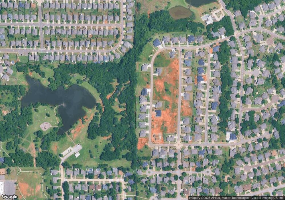
Map
Nearby Homes
- 2008 Providence Dr
- 2017 Providence Dr
- 2001 Central Pkwy
- 1802 Marymount Rd
- 1628 Chambers St
- 1812 Creighton Ct
- 1806 Barrington Dr
- 1810 Barrington Dr
- 1509 Central Pkwy
- 2104 Wheaton Dr
- 1716 Sandalwood Dr
- 2209 Wheaton Dr
- 1410 High Meadows Dr
- 1216 Newbury Dr
- 2106 Ingels Place
- 1521 Rangeline Rd
- 1419 E Robinson St
- 1316 Huron St
- 1610 Briarcliff Ct
- 2961 Twin Acres Dr
- 1916 Burning Tree
- 1924 Burning Tree
- 1912 Burning Tree
- 1919 Burning Tree
- 1915 Burning Tree
- 1908 Burning Tree
- 1904 Burning Tree
- 1936 Burning Tree
- 1935 Burning Tree
- 1906 Providence Dr
- 1903 Marymount Rd
- 1903 Burning Tree
- 1900 Burning Tree
- 1943 Burning Tree
- 1921 Providence Dr
- 1902 Providence Dr
- 2001 Providence Dr
- 1909 Providence Dr
- 1636 Central Pkwy
- 2005 Providence Dr