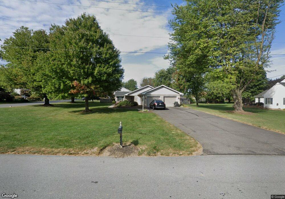
1920 Carlton Place Lancaster, PA 17601
Bloomingdale NeighborhoodEstimated Value: $505,000 - $578,000
4
Beds
4
Baths
1,988
Sq Ft
$274/Sq Ft
Est. Value
About This Home
This home is located at 1920 Carlton Place, Lancaster, PA 17601 and is currently estimated at $544,278, approximately $273 per square foot. 1920 Carlton Place is a home located in Lancaster County with nearby schools including Nitrauer School, Landis Run Intermediate School, and Manheim Township Middle School.
Ownership History
Date
Name
Owned For
Owner Type
Purchase Details
Closed on
May 8, 2015
Sold by
Albright John D and Albright Jean C
Bought by
Dechert Tara E
Current Estimated Value
Home Financials for this Owner
Home Financials are based on the most recent Mortgage that was taken out on this home.
Original Mortgage
$237,500
Outstanding Balance
$182,829
Interest Rate
3.66%
Mortgage Type
New Conventional
Estimated Equity
$361,449
Create a Home Valuation Report for This Property
The Home Valuation Report is an in-depth analysis detailing your home's value as well as a comparison with similar homes in the area
Home Values in the Area
Average Home Value in this Area
Purchase History
| Date | Buyer | Sale Price | Title Company |
|---|---|---|---|
| Dechert Tara E | $250,000 | None Available |
Source: Public Records
Mortgage History
| Date | Status | Borrower | Loan Amount |
|---|---|---|---|
| Open | Dechert Tara E | $237,500 |
Source: Public Records
Tax History Compared to Growth
Tax History
| Year | Tax Paid | Tax Assessment Tax Assessment Total Assessment is a certain percentage of the fair market value that is determined by local assessors to be the total taxable value of land and additions on the property. | Land | Improvement |
|---|---|---|---|---|
| 2025 | $6,058 | $280,000 | $89,500 | $190,500 |
| 2024 | $6,058 | $280,000 | $89,500 | $190,500 |
| 2023 | $5,900 | $280,000 | $89,500 | $190,500 |
| 2022 | $5,565 | $268,600 | $89,500 | $179,100 |
| 2021 | $5,441 | $268,600 | $89,500 | $179,100 |
| 2020 | $5,441 | $268,600 | $89,500 | $179,100 |
| 2019 | $5,388 | $268,600 | $89,500 | $179,100 |
| 2018 | $6,543 | $268,600 | $89,500 | $179,100 |
| 2017 | $4,621 | $181,600 | $53,200 | $128,400 |
| 2016 | $4,621 | $181,600 | $53,200 | $128,400 |
| 2015 | $1,161 | $181,600 | $53,200 | $128,400 |
| 2014 | -- | $181,600 | $53,200 | $128,400 |
Source: Public Records
Map
Nearby Homes
- 406 Teddy Ave
- 1934 Geraldson Dr
- 614 Dolly Dr
- 352 Ruth Ridge Dr
- 1958 Geraldson Dr
- 1903 Kendale Place
- 514 Dolly Dr
- 1951 Sterling Place
- 1980 Park Plaza
- 539 Sierra Ln
- 548 E Delp Rd
- 2012 Melody Ln
- 2012 Melody Ln Unit 10
- 1918 Sterling Place
- 15 E Roseville Rd
- 2419 Lititz Pike
- 441 Valleybrook Dr
- 446 Valleybrook Dr Unit 446
- 94 Barre Dr
- 1849 Lititz Pike
- 1932 Carlton Place
- 329 Rhoda Dr
- 1931 Carlton Place
- 340 Rhoda Dr
- 1911 Haroldson Ave
- 334 Rhoda Dr
- 1938 Carlton Place
- 1917 Haroldson Ave
- 1935 Carlton Place
- 404 Rhoda Dr
- 328 Rhoda Dr
- 1944 Carlton Place
- 1923 Haroldson Ave
- 321 Rhoda Dr
- 324 Rhoda Dr
- 404 Dolly Dr
- 1923 Carlton Place
- 410 Rhoda Dr
- 347 Primrose Ave
- 1910 Haroldson Ave