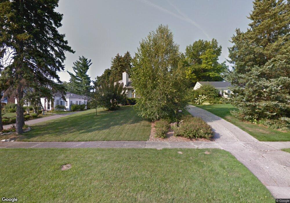
1920 Colchester Rd Flint, MI 48503
Woodcroft Estates NeighborhoodEstimated Value: $133,906 - $287,000
3
Beds
3
Baths
1,300
Sq Ft
$151/Sq Ft
Est. Value
About This Home
This home is located at 1920 Colchester Rd, Flint, MI 48503 and is currently estimated at $196,477, approximately $151 per square foot. 1920 Colchester Rd is a home located in Genesee County with nearby schools including Durant-Tuuri-Mott Elementary School, Flint Southwestern Classical Academy, and St. Paul Lutheran School.
Ownership History
Date
Name
Owned For
Owner Type
Purchase Details
Closed on
Feb 16, 2022
Sold by
Swanson Robert R and Swanson Ann Grace
Bought by
Swanson Robert R and Swanson Robert R
Current Estimated Value
Purchase Details
Closed on
Jan 26, 2015
Sold by
Stuckey Graydon D and Stuckey Janice F
Bought by
Swanson Robert R and Swason Grace Ann
Purchase Details
Closed on
Nov 2, 2011
Sold by
Stuckey Graydon D and Stuckey Janice F
Bought by
Swanson Robert R and Swanson Grace Ann
Purchase Details
Closed on
Mar 29, 2011
Sold by
Kelly Kenneth G and Kelly Debra
Bought by
Stuckey Graydon D
Purchase Details
Closed on
Jan 26, 2005
Sold by
Torpey Esther I
Bought by
Torpey Esther I
Create a Home Valuation Report for This Property
The Home Valuation Report is an in-depth analysis detailing your home's value as well as a comparison with similar homes in the area
Home Values in the Area
Average Home Value in this Area
Purchase History
| Date | Buyer | Sale Price | Title Company |
|---|---|---|---|
| Swanson Robert R | -- | Land Title | |
| Swanson Robert R | -- | Land Title | |
| Swanson Robert R | $89,900 | Sargents Title Company | |
| Swanson Robert R | -- | Sargents Title Company | |
| Stuckey Graydon D | $32,500 | Lighthouse Title Inc | |
| Torpey Esther I | -- | -- |
Source: Public Records
Tax History
| Year | Tax Paid | Tax Assessment Tax Assessment Total Assessment is a certain percentage of the fair market value that is determined by local assessors to be the total taxable value of land and additions on the property. | Land | Improvement |
|---|---|---|---|---|
| 2025 | $1,694 | $61,400 | $0 | $0 |
| 2024 | $1,510 | $66,000 | $0 | $0 |
| 2023 | $1,469 | $61,100 | $0 | $0 |
| 2022 | $0 | $51,900 | $0 | $0 |
| 2021 | $1,544 | $47,700 | $0 | $0 |
| 2020 | $1,367 | $43,200 | $0 | $0 |
| 2019 | $1,316 | $43,400 | $0 | $0 |
| 2018 | $1,370 | $42,100 | $0 | $0 |
| 2017 | $1,326 | $0 | $0 | $0 |
| 2016 | $1,316 | $0 | $0 | $0 |
| 2015 | -- | $0 | $0 | $0 |
| 2014 | -- | $0 | $0 | $0 |
| 2012 | -- | $25,800 | $0 | $0 |
Source: Public Records
Map
Nearby Homes
- 3102 Westwood Pkwy
- 3205 Clairmont St
- 3402 Brandon St
- 2729 Chicago Blvd
- 1555 Bradley Ave
- 3310 Larchmont St
- 3506 Chicago Blvd
- 3510 Hogarth Ave
- 3217 Arlene Ave
- 3317 Arlene Ave
- 1114 Clancy Ave
- 2618 Brown St
- 1308 Barney Ave
- 1122 Stocker Ave
- 1412 S Ballenger Hwy
- 2805 Reynolds St
- 2537 Swayze St
- 3413 Augusta St
- 2433 Brown St
- 1017 Stocker Ave
- 1930 Colchester Rd
- 1910 Colchester Rd
- 1940 Colchester Rd
- 2031 Oxford Ln
- 1902 Colchester Rd
- 2041 Oxford Ln
- 2011 Oxford Ln
- 1921 Colchester Rd Unit Bldg-Unit
- 1921 Colchester Rd
- 1911 Colchester Rd
- 1950 Colchester Rd
- 1931 Colchester Rd
- 2001 Oxford Ln
- 1901 Colchester Rd
- 1941 Colchester Rd
- 3006 Hawthorne Dr
- 1822 Colchester Rd
- 2910 Westwood Pkwy
- 1831 Colchester Rd
- 2040 Oxford Ln
Your Personal Tour Guide
Ask me questions while you tour the home.