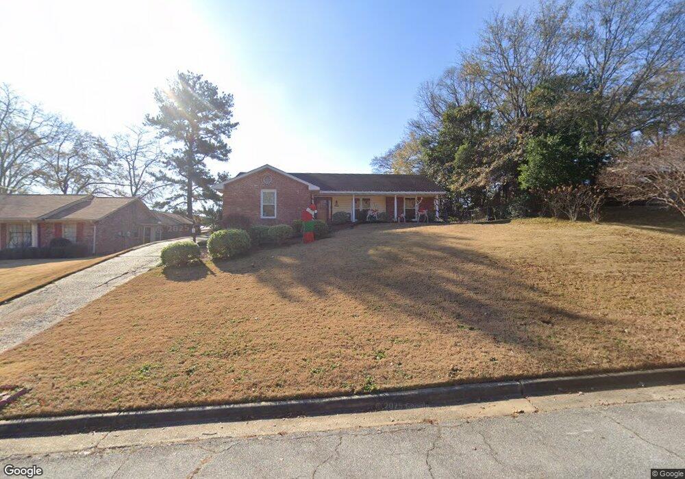
1920 Coventry Dr Columbus, GA 31904
North Columbus NeighborhoodEstimated Value: $272,000 - $278,141
3
Beds
3
Baths
2,336
Sq Ft
$118/Sq Ft
Est. Value
About This Home
This home is located at 1920 Coventry Dr, Columbus, GA 31904 and is currently estimated at $275,785, approximately $118 per square foot. 1920 Coventry Dr is a home located in Muscogee County with nearby schools including Allen Elementary School, Arnold Middle School, and Jordan Vocational High School.
Ownership History
Date
Name
Owned For
Owner Type
Purchase Details
Closed on
Apr 20, 2020
Sold by
Pratt Scott
Bought by
Morgan Natasha
Current Estimated Value
Home Financials for this Owner
Home Financials are based on the most recent Mortgage that was taken out on this home.
Original Mortgage
$184,000
Outstanding Balance
$163,612
Interest Rate
3.6%
Mortgage Type
VA
Estimated Equity
$112,173
Create a Home Valuation Report for This Property
The Home Valuation Report is an in-depth analysis detailing your home's value as well as a comparison with similar homes in the area
Home Values in the Area
Average Home Value in this Area
Purchase History
| Date | Buyer | Sale Price | Title Company |
|---|---|---|---|
| Morgan Natasha | $184,000 | -- |
Source: Public Records
Mortgage History
| Date | Status | Borrower | Loan Amount |
|---|---|---|---|
| Open | Morgan Natasha | $184,000 |
Source: Public Records
Tax History
| Year | Tax Paid | Tax Assessment Tax Assessment Total Assessment is a certain percentage of the fair market value that is determined by local assessors to be the total taxable value of land and additions on the property. | Land | Improvement |
|---|---|---|---|---|
| 2025 | $2,365 | $101,340 | $11,404 | $89,936 |
| 2024 | $2,364 | $101,340 | $11,404 | $89,936 |
| 2023 | $168 | $101,340 | $11,404 | $89,936 |
| 2022 | $2,465 | $79,408 | $11,404 | $68,004 |
| 2021 | $2,458 | $73,600 | $11,404 | $62,196 |
| 2020 | $1,710 | $64,540 | $11,404 | $53,136 |
| 2019 | $1,717 | $64,540 | $11,404 | $53,136 |
| 2018 | $1,717 | $64,540 | $11,404 | $53,136 |
| 2017 | $1,724 | $64,540 | $11,404 | $53,136 |
| 2016 | $1,732 | $65,949 | $8,601 | $57,348 |
| 2015 | $1,705 | $65,237 | $8,601 | $56,636 |
| 2014 | $1,709 | $65,237 | $8,601 | $56,636 |
| 2013 | -- | $65,237 | $8,601 | $56,636 |
Source: Public Records
Map
Nearby Homes
- 2000 Lancaster Dr
- 5235 23rd Ave
- 5224 23rd Ave
- 2325 Coventry Dr
- 4830 17th Ave
- 2322 Winchester Dr
- 1103 52nd St
- 4526 19th Ave
- 5118 11th Ave
- 5110 11th Ave
- 5106 11th Ave
- 5131 11th Ave
- 1031 E Crockett Dr
- 1037 53rd St
- 1021 53rd St
- 4214 17th Ave
- 5602 Morris Ave
- 5010 Trussell Ave
- 5616 Morris Ave
- 4310 Acacia Dr
- 1926 Coventry Dr
- 1914 Coventry Dr
- 2000 Coventry Dr
- 1906 Coventry Dr
- 1921 Coventry Dr
- 1927 Coventry Dr
- 1915 Coventry Dr
- 2006 Coventry Dr
- 1900 Coventry Dr
- 2001 Coventry Dr
- 2014 Coventry Dr
- 2007 Coventry Dr
- 1815 Coventry Dr
- 1834 Coventry Dr
- 1834 Coventry Dr
- 1920 Lancaster Dr
- 1926 Lancaster Dr
- 1914 Lancaster Dr
- 2015 Coventry Dr
- 2020 Coventry Dr
Your Personal Tour Guide
Ask me questions while you tour the home.