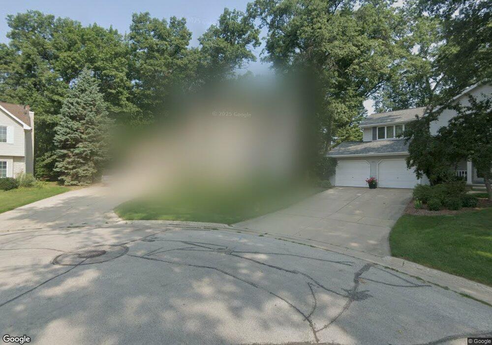
1920 Evans Ct Green Bay, WI 54304
MacArthur Heights NeighborhoodEstimated Value: $350,000 - $469,000
--
Bed
--
Bath
--
Sq Ft
0.35
Acres
About This Home
This home is located at 1920 Evans Ct, Green Bay, WI 54304 and is currently estimated at $411,304. 1920 Evans Ct is a home located in Brown County with nearby schools including MacArthur Elementary School, Lombardi Middle School, and Southwest High School.
Ownership History
Date
Name
Owned For
Owner Type
Purchase Details
Closed on
Jan 13, 2010
Sold by
Mullen George E
Bought by
Mullen George E and George E Mullen Living Trust
Current Estimated Value
Purchase Details
Closed on
Jan 18, 2002
Sold by
Johnson Steven K and Johnson Kathy M
Bought by
Mullen George E and Mullen Joy
Home Financials for this Owner
Home Financials are based on the most recent Mortgage that was taken out on this home.
Original Mortgage
$194,300
Outstanding Balance
$72,766
Interest Rate
5.87%
Estimated Equity
$338,538
Create a Home Valuation Report for This Property
The Home Valuation Report is an in-depth analysis detailing your home's value as well as a comparison with similar homes in the area
Home Values in the Area
Average Home Value in this Area
Purchase History
| Date | Buyer | Sale Price | Title Company |
|---|---|---|---|
| Mullen George E | -- | None Available | |
| Mullen George E | $116,700 | Gb Title |
Source: Public Records
Mortgage History
| Date | Status | Borrower | Loan Amount |
|---|---|---|---|
| Open | Mullen George E | $194,300 |
Source: Public Records
Tax History Compared to Growth
Tax History
| Year | Tax Paid | Tax Assessment Tax Assessment Total Assessment is a certain percentage of the fair market value that is determined by local assessors to be the total taxable value of land and additions on the property. | Land | Improvement |
|---|---|---|---|---|
| 2024 | $6,866 | $359,400 | $48,600 | $310,800 |
| 2023 | $6,876 | $359,400 | $48,600 | $310,800 |
| 2022 | $6,646 | $359,400 | $48,600 | $310,800 |
| 2021 | $6,613 | $269,400 | $43,100 | $226,300 |
| 2020 | $6,564 | $269,400 | $43,100 | $226,300 |
| 2019 | $6,415 | $269,400 | $43,100 | $226,300 |
| 2018 | $6,230 | $269,400 | $43,100 | $226,300 |
| 2017 | $6,070 | $269,400 | $43,100 | $226,300 |
| 2016 | $5,991 | $269,400 | $43,100 | $226,300 |
| 2015 | $5,938 | $269,400 | $43,100 | $226,300 |
| 2014 | $6,273 | $269,400 | $43,100 | $226,300 |
| 2013 | $6,273 | $269,400 | $43,100 | $226,300 |
Source: Public Records
Map
Nearby Homes
- 2441 Matchwood Ln
- 2550 He Nis Ra Ln
- 2466 Parkwood Dr
- 2439 W Point Rd
- 2044 Ann Ln
- 2060 Trissino Way
- 2060 Wintergreen Ct
- 1973 Knotty Pine Dr
- 2640 He Nis Ra Ln
- 1514 Ashley Ct
- 1570 Mesa Dr
- 1921 Beech Tree Dr
- 1433 Baumgart Rd Unit 1435
- 1471 Parkway Dr
- 1450 Woodmont Way
- 2031 Bradbury Ln
- 1680 Cormier Rd
- 2768 Independence Dr
- 1306 Nelson St Unit 1308
- 1779 9th St
- 1924 Evans Ct
- 1921 Evans Ct
- 2515 Oakwood Dr
- 2521 Oakwood Dr
- 2507 Oakwood Dr
- 1919 Belmont Dr
- 1932 Evans Ct
- 1915 Belmont Dr
- 2527 Oakwood Dr
- 2503 Oakwood Dr
- 1929 Evans Ct
- 1927 Belmont Dr
- 2496 Shady Oak Dr
- 1911 Belmont Dr
- 1938 Evans Ct
- 2495 Oakwood Dr
- 1933 Belmont Dr Unit 1935
- 2492 Shady Oak Dr
- 2526 Dunbar Ln
- 2514 Oakwood Dr