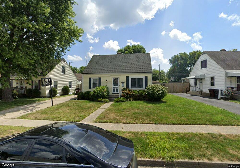
1920 Malcom Dr Dayton, OH 45420
Estimated Value: $158,952 - $186,000
3
Beds
1
Bath
1,008
Sq Ft
$172/Sq Ft
Est. Value
About This Home
This home is located at 1920 Malcom Dr, Dayton, OH 45420 and is currently estimated at $173,488, approximately $172 per square foot. 1920 Malcom Dr is a home located in Montgomery County with nearby schools including Greenmont Elementary School, Kettering Middle School, and Kettering Fairmont High School.
Ownership History
Date
Name
Owned For
Owner Type
Purchase Details
Closed on
Oct 5, 2016
Sold by
Chromick Linda M
Bought by
Different Drum Llc
Current Estimated Value
Purchase Details
Closed on
Mar 2, 2015
Sold by
Moody Nancy B
Bought by
Moody Nancy B
Purchase Details
Closed on
Aug 30, 2012
Sold by
Moody Jack O and Moody Nancy B
Bought by
Moody Jack O and Moody Nancy B
Purchase Details
Closed on
Jan 26, 1998
Sold by
Moody Jack O and Moody Nancy B
Bought by
Moody Jack O and Moody Nancy B
Create a Home Valuation Report for This Property
The Home Valuation Report is an in-depth analysis detailing your home's value as well as a comparison with similar homes in the area
Home Values in the Area
Average Home Value in this Area
Purchase History
| Date | Buyer | Sale Price | Title Company |
|---|---|---|---|
| Different Drum Llc | -- | None Available | |
| Moody Nancy B | -- | Attorney | |
| Moody Jack O | -- | None Available | |
| Moody Jack O | -- | -- |
Source: Public Records
Tax History
| Year | Tax Paid | Tax Assessment Tax Assessment Total Assessment is a certain percentage of the fair market value that is determined by local assessors to be the total taxable value of land and additions on the property. | Land | Improvement |
|---|---|---|---|---|
| 2025 | $2,768 | $41,880 | $11,010 | $30,870 |
| 2024 | $2,692 | $41,880 | $11,010 | $30,870 |
| 2023 | $2,692 | $41,880 | $11,010 | $30,870 |
| 2022 | $2,383 | $29,240 | $7,700 | $21,540 |
| 2021 | $2,211 | $29,240 | $7,700 | $21,540 |
| 2020 | $2,217 | $29,240 | $7,700 | $21,540 |
| 2019 | $2,291 | $26,740 | $7,700 | $19,040 |
| 2018 | $2,303 | $26,740 | $7,700 | $19,040 |
| 2017 | $2,129 | $26,740 | $7,700 | $19,040 |
| 2016 | $1,946 | $23,480 | $7,700 | $15,780 |
| 2015 | $1,981 | $23,480 | $7,700 | $15,780 |
| 2014 | $1,981 | $23,480 | $7,700 | $15,780 |
| 2012 | -- | $27,370 | $8,400 | $18,970 |
Source: Public Records
Map
Nearby Homes
- 2291 Patterson Rd
- 1534 Horlacher Ave
- 1513 Horlacher Ave
- 1841 Courtland Ave
- 2216 Culver Ave
- 1618 Briedweng Ave Unit 1616
- 2004 Hazel Ave
- 2105 Pittsfield St
- 2618 Kennedy Ave
- 2009 Hazel Ave
- 1814 Ewalt Ave
- 1701 Rockhurst Ave
- 2251 Vale Dr
- 2408 Homeland Ct
- 1409 Highview Ave
- 1104 Chelsea Ave
- 4517 Debra Ave
- 3019 Dwight Ave
- 1020 Weng Ave
- 4856 Barnhart Ave
- 1914 Malcom Dr
- 1933 E Bataan Dr
- 1925 E Bataan Dr
- 1937 E Bataan Dr
- 1932 Malcom Dr
- 1938 Craig Dr
- 1941 E Bataan Dr
- 1942 Craig Dr
- 1915 Malcom Dr
- 1923 Malcom Dr
- 1919 Malcom Dr
- 1911 Malcom Dr
- 1927 Malcom Dr
- 1915 E Bataan Dr
- 1945 E Bataan Dr
- 1931 Malcom Dr
- 1946 Craig Dr
- 1926 E Bataan Dr
- 1935 Malcom Dr
- 1932 E Bataan Dr
Your Personal Tour Guide
Ask me questions while you tour the home.