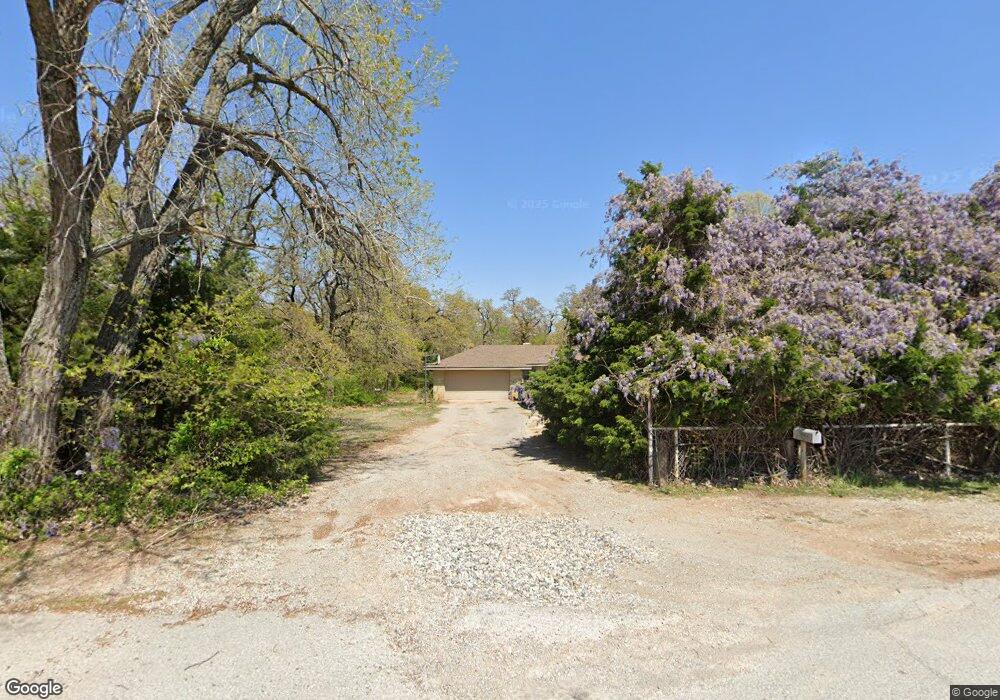
1920 Markham Dr Newcastle, OK 73065
Estimated Value: $259,000 - $283,000
3
Beds
2
Baths
1,581
Sq Ft
$171/Sq Ft
Est. Value
About This Home
This home is located at 1920 Markham Dr, Newcastle, OK 73065 and is currently estimated at $269,573, approximately $170 per square foot. 1920 Markham Dr is a home located in McClain County with nearby schools including Newcastle Elementary School, Newcastle Middle School, and Newcastle High School.
Ownership History
Date
Name
Owned For
Owner Type
Purchase Details
Closed on
May 24, 2010
Sold by
Taylor Lavert Dewayne and Taylor Karen J
Bought by
Williams Dorian D and Williams Amy R
Current Estimated Value
Home Financials for this Owner
Home Financials are based on the most recent Mortgage that was taken out on this home.
Original Mortgage
$135,672
Outstanding Balance
$92,916
Interest Rate
5.5%
Mortgage Type
FHA
Estimated Equity
$176,657
Create a Home Valuation Report for This Property
The Home Valuation Report is an in-depth analysis detailing your home's value as well as a comparison with similar homes in the area
Home Values in the Area
Average Home Value in this Area
Purchase History
| Date | Buyer | Sale Price | Title Company |
|---|---|---|---|
| Williams Dorian D | $137,500 | None Available |
Source: Public Records
Mortgage History
| Date | Status | Borrower | Loan Amount |
|---|---|---|---|
| Open | Williams Dorian D | $135,672 |
Source: Public Records
Tax History Compared to Growth
Tax History
| Year | Tax Paid | Tax Assessment Tax Assessment Total Assessment is a certain percentage of the fair market value that is determined by local assessors to be the total taxable value of land and additions on the property. | Land | Improvement |
|---|---|---|---|---|
| 2025 | $2,205 | $19,190 | $7,932 | $11,258 |
| 2024 | $2,095 | $18,275 | $7,554 | $10,721 |
| 2023 | $2,095 | $17,405 | $7,093 | $10,312 |
| 2022 | $1,913 | $16,577 | $6,643 | $9,934 |
| 2021 | $1,912 | $15,787 | $6,303 | $9,484 |
| 2020 | $1,829 | $15,035 | $5,980 | $9,055 |
| 2019 | $1,768 | $14,320 | $5,672 | $8,648 |
| 2018 | $1,659 | $13,638 | $5,804 | $7,834 |
| 2017 | $1,576 | $12,989 | $6,411 | $6,578 |
| 2016 | $1,507 | $12,370 | $3,300 | $9,070 |
| 2015 | $1,460 | $11,982 | $3,300 | $8,682 |
| 2014 | $1,373 | $11,412 | $3,300 | $8,112 |
Source: Public Records
Map
Nearby Homes
- 1829 Ranchwood Dr
- 1916 Timber Ridge Dr
- 1808 Timber Ridge Dr
- 2100 Oakhollow Dr
- 1656 Quail Ridge Rd
- 1206 Trunci Ct
- 912 Bell Dr
- 975 Trunci Cir
- 1157 Trunci Way
- 1249 Trunci Ct
- 1152 Trunci Way
- 943 Fluvi Cir
- 907 Fluvi Cir
- 903 Trunci Cir
- 1116 Trunci Way
- 1312 Trunci Ct
- 939 Trunci Cir
- 902 Fluvi Cir
- 901 Lucas Cir
- 1529 Pedras Place
- 1913 Markham Dr
- 1942 Ranchwood Dr
- 1908 Markham Dr
- 1910 Ranchwood Dr
- 1901 Rosewood Cir
- 1900 Rosewood Cir
- 1832 Markham Dr
- 1829 Markham Dr
- 1829 Markham Dr
- 1937 Ranchwood Dr
- 1909 Rosewood Cir
- 1908 Rosewood Cir
- 1901 Oakhollow Dr
- 2124 SW 16th St
- 0 SW 16
- 1821 Markham Dr
- 1909 Oakhollow Dr
- 1501 Springlake Rd
- 1820 Markham Dr
- 1900 Oakhollow Dr