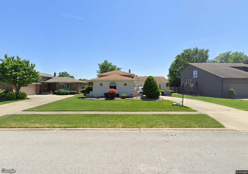
1920 Melbrook Ct Munster, IN 46321
Estimated Value: $358,000 - $428,000
3
Beds
2
Baths
2,074
Sq Ft
$187/Sq Ft
Est. Value
About This Home
This home is located at 1920 Melbrook Ct, Munster, IN 46321 and is currently estimated at $387,442, approximately $186 per square foot. 1920 Melbrook Ct is a home located in Lake County with nearby schools including Munster High School, Highland Christian School, and Our Lady Of Grace School.
Ownership History
Date
Name
Owned For
Owner Type
Purchase Details
Closed on
Mar 16, 2007
Sold by
Marcus Scott
Bought by
Watkins Geoffrey R and Watkins Mary K
Current Estimated Value
Home Financials for this Owner
Home Financials are based on the most recent Mortgage that was taken out on this home.
Original Mortgage
$180,000
Outstanding Balance
$107,379
Interest Rate
6.27%
Mortgage Type
Purchase Money Mortgage
Estimated Equity
$280,063
Create a Home Valuation Report for This Property
The Home Valuation Report is an in-depth analysis detailing your home's value as well as a comparison with similar homes in the area
Home Values in the Area
Average Home Value in this Area
Purchase History
| Date | Buyer | Sale Price | Title Company |
|---|---|---|---|
| Watkins Geoffrey R | -- | Ticor Highland |
Source: Public Records
Mortgage History
| Date | Status | Borrower | Loan Amount |
|---|---|---|---|
| Open | Watkins Geoffrey R | $180,000 |
Source: Public Records
Tax History
| Year | Tax Paid | Tax Assessment Tax Assessment Total Assessment is a certain percentage of the fair market value that is determined by local assessors to be the total taxable value of land and additions on the property. | Land | Improvement |
|---|---|---|---|---|
| 2025 | $4,481 | $368,100 | $57,500 | $310,600 |
| 2024 | $10,287 | $345,000 | $57,500 | $287,500 |
| 2023 | $4,230 | $336,500 | $60,500 | $276,000 |
| 2022 | $4,230 | $319,000 | $60,500 | $258,500 |
| 2021 | $3,910 | $295,200 | $35,800 | $259,400 |
| 2020 | $3,718 | $280,700 | $35,800 | $244,900 |
| 2019 | $3,520 | $270,200 | $35,800 | $234,400 |
| 2018 | $4,071 | $264,000 | $35,800 | $228,200 |
| 2017 | $3,995 | $258,400 | $35,800 | $222,600 |
| 2016 | $3,708 | $250,200 | $35,800 | $214,400 |
| 2014 | $3,427 | $228,200 | $35,800 | $192,400 |
| 2013 | $3,650 | $247,300 | $35,800 | $211,500 |
Source: Public Records
Map
Nearby Homes
- 9000 Chestnut Ln
- 9123 Crestwood Ct
- 2022 38th St
- 9220 Wildwood Dr
- 9133 Foliage Ln
- 1645 Tulip Ln
- 9210 Woodward Ave
- 1841 Lambert Ln
- 1825 Oriole Dr
- 1608 Tulip Ln
- 2305 Martha St Unit D2
- 2288 Bordeaux Walk Unit D2
- 2306 Martha St Unit 101
- 1938 Magnolia Ln
- 9401 Fran Lin Pkwy
- 9149 Waymond Ave
- 1531 Fran-Lin Pkwy
- 1634 Wilson St
- 9604 Hawthorne Dr
- 1511 35th St
- 1926 Melbrook Ct
- 1916 Melbrook Ct
- 1919 Martha St
- 1930 Melbrook Ct
- 1915 Martha St
- 1910 Melbrook Ct
- 1929 Martha St
- 1915 Melbrook Ct
- 1909 Martha St
- 1925 Martha St
- 1919 Melbrook Ct
- 1925 Melbrook Ct
- 1936 Melbrook Ct
- 1935 Martha St
- 1905 Martha St
- 1929 Melbrook Ct
- 1940 Melbrook Ct
- 9024 Chestnut Ln
- 1939 Martha St
- 1901 Martha St
Your Personal Tour Guide
Ask me questions while you tour the home.