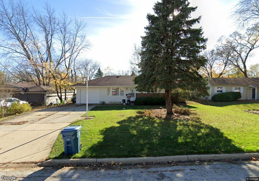
1920 Opal Dr Unit 4 Aurora, IL 60506
Edgelawn Randall NeighborhoodEstimated Value: $292,000 - $310,000
3
Beds
3
Baths
1,040
Sq Ft
$288/Sq Ft
Est. Value
About This Home
This home is located at 1920 Opal Dr Unit 4, Aurora, IL 60506 and is currently estimated at $299,967, approximately $288 per square foot. 1920 Opal Dr Unit 4 is a home located in Kane County with nearby schools including Hall Elementary School, Jefferson Middle School, and West Aurora High School.
Ownership History
Date
Name
Owned For
Owner Type
Purchase Details
Closed on
Jun 29, 1999
Sold by
Ortiz Arturo M and Ortiz Maria I
Bought by
Mitchell Terry J
Current Estimated Value
Home Financials for this Owner
Home Financials are based on the most recent Mortgage that was taken out on this home.
Original Mortgage
$116,147
Outstanding Balance
$31,840
Interest Rate
7.29%
Mortgage Type
FHA
Estimated Equity
$268,127
Purchase Details
Closed on
Apr 19, 1996
Sold by
Nordan Bobby and Nordan Linda
Bought by
Ortiz Arturo M and Ortiz Maria I
Home Financials for this Owner
Home Financials are based on the most recent Mortgage that was taken out on this home.
Original Mortgage
$100,000
Interest Rate
7.91%
Create a Home Valuation Report for This Property
The Home Valuation Report is an in-depth analysis detailing your home's value as well as a comparison with similar homes in the area
Home Values in the Area
Average Home Value in this Area
Purchase History
| Date | Buyer | Sale Price | Title Company |
|---|---|---|---|
| Mitchell Terry J | $117,000 | First American Title Ins Co | |
| Ortiz Arturo M | $107,500 | First American Title Ins Co |
Source: Public Records
Mortgage History
| Date | Status | Borrower | Loan Amount |
|---|---|---|---|
| Open | Mitchell Terry J | $116,147 | |
| Previous Owner | Ortiz Arturo M | $100,000 |
Source: Public Records
Tax History Compared to Growth
Tax History
| Year | Tax Paid | Tax Assessment Tax Assessment Total Assessment is a certain percentage of the fair market value that is determined by local assessors to be the total taxable value of land and additions on the property. | Land | Improvement |
|---|---|---|---|---|
| 2024 | $5,529 | $77,823 | $13,260 | $64,563 |
| 2023 | $5,271 | $69,535 | $11,848 | $57,687 |
| 2022 | $5,085 | $63,444 | $10,810 | $52,634 |
| 2021 | $4,848 | $59,067 | $10,064 | $49,003 |
| 2020 | $4,574 | $54,864 | $9,348 | $45,516 |
| 2019 | $4,384 | $50,833 | $8,661 | $42,172 |
| 2018 | $4,377 | $49,847 | $8,011 | $41,836 |
| 2017 | $4,093 | $45,770 | $7,381 | $38,389 |
| 2016 | $3,752 | $41,314 | $6,327 | $34,987 |
| 2015 | -- | $36,132 | $5,441 | $30,691 |
| 2014 | -- | $33,767 | $5,233 | $28,534 |
| 2013 | -- | $34,255 | $5,158 | $29,097 |
Source: Public Records
Map
Nearby Homes
- 1940 Richard St
- 735 Westgate Dr
- 2220 Mayflower St
- 1751 Greene Ct
- 2245 Copley St
- 1735 Greene Ct
- 960 Sapphire Ln
- 964 Sapphire Ln
- 742 N Glenwood Place
- 967 Sapphire Ln
- 959 Sapphire Ln
- 975 Sapphire Ln
- 971 Sapphire Ln
- 963 Sapphire Ln
- 1421 Heather Dr
- 1730 W Galena Blvd Unit 402E
- 833 N Randall Rd Unit C4
- 811 N Randall Rd Unit B
- 1389 Monomoy St Unit B2
- 1358 Monomoy St Unit A
- 1930 Opal Dr
- 762 Redwood Dr
- 756 Redwood Dr
- 790 Strawberry Ct Unit 4
- 1940 Opal Dr
- 750 Redwood Dr
- 786 Strawberry Ct
- 1919 Opal Dr
- 791 Strawberry Ct
- 776 Redwood Dr
- 746 Redwood Dr
- 1929 Opal Dr
- 1950 Opal Dr
- 1939 Opal Dr
- 740 Redwood Dr
- 772 Strawberry Ct
- 1960 Opal Dr
- 1945 Opal Dr
- 785 Strawberry Ct
- 761 Redwood Dr