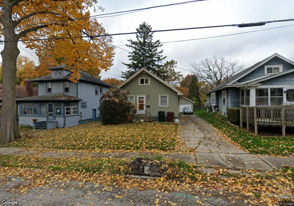
1920 Roberts Ln Lansing, MI 48910
Clifford Park NeighborhoodEstimated Value: $96,000 - $110,199
2
Beds
1
Bath
816
Sq Ft
$128/Sq Ft
Est. Value
About This Home
This home is located at 1920 Roberts Ln, Lansing, MI 48910 and is currently estimated at $104,800, approximately $128 per square foot. 1920 Roberts Ln is a home located in Ingham County with nearby schools including Lyons Elementary School, Attwood School, and Eastern High School.
Ownership History
Date
Name
Owned For
Owner Type
Purchase Details
Closed on
Sep 24, 2009
Sold by
Nationstar Mortgage Llc
Bought by
Federal National Mortgage Association
Current Estimated Value
Purchase Details
Closed on
Feb 5, 2009
Sold by
Lopez Alberto and Lopez Norma I
Bought by
Mortgage Electronic Registration Systems
Purchase Details
Closed on
Jun 8, 2006
Sold by
Lopez Alberto
Bought by
Lopez Norma I
Create a Home Valuation Report for This Property
The Home Valuation Report is an in-depth analysis detailing your home's value as well as a comparison with similar homes in the area
Home Values in the Area
Average Home Value in this Area
Purchase History
| Date | Buyer | Sale Price | Title Company |
|---|---|---|---|
| Federal National Mortgage Association | -- | None Available | |
| Nationstar Mortgage Llc | -- | None Available | |
| Mortgage Electronic Registration Systems | $55,120 | None Available | |
| Lopez Norma I | -- | None Available |
Source: Public Records
Tax History Compared to Growth
Tax History
| Year | Tax Paid | Tax Assessment Tax Assessment Total Assessment is a certain percentage of the fair market value that is determined by local assessors to be the total taxable value of land and additions on the property. | Land | Improvement |
|---|---|---|---|---|
| 2025 | $1,980 | $49,400 | $6,700 | $42,700 |
| 2024 | $15 | $44,800 | $6,700 | $38,100 |
| 2023 | $1,858 | $41,000 | $6,700 | $34,300 |
| 2022 | $1,679 | $35,100 | $6,100 | $29,000 |
| 2021 | $1,644 | $32,600 | $4,000 | $28,600 |
| 2020 | $1,634 | $31,100 | $4,000 | $27,100 |
| 2019 | $1,564 | $27,100 | $4,000 | $23,100 |
| 2018 | $1,468 | $25,200 | $4,000 | $21,200 |
| 2017 | $1,405 | $25,200 | $4,000 | $21,200 |
| 2016 | $1,344 | $24,800 | $4,000 | $20,800 |
| 2015 | $1,344 | $23,700 | $8,027 | $15,673 |
| 2014 | $1,344 | $23,200 | $6,243 | $16,957 |
Source: Public Records
Map
Nearby Homes
- 704 Mckim Ave
- 525 E Mount Hope Ave
- 1818 Ray St
- 2208 Lyons Ave
- 520 Riley St
- 707 Isbell St
- 538 Pacific Ave
- 918 Mckim Ave
- 1731 Herbert St
- 1800 Herbert St
- 1539 Linval St
- 601 Tisdale Ave
- 701 Tisdale Ave
- 904 Pacific Ave
- 626 Tisdale Ave
- 531 Torrence Ct
- 2201 S Pennsylvania Ave
- 1927 Teel Ave
- 2107 Teel Ave
- 2309 S Pennsylvania Ave
- 1924 Roberts Ln
- 1916 Roberts Ln
- 1928 Roberts Ln
- 1912 Roberts Ln
- 2000 Roberts Ln
- 602 E Mt Hope
- 602 E Mount Hope Ave
- 1923 Roberts Ln
- 1929 Roberts Ln
- 1913 Roberts Ln
- 2008 Roberts Ln
- 2001 Roberts Ln
- 614 E Mount Hope Ave
- 2005 Roberts Ln
- 2012 Roberts Ln
- 2009 Roberts Ln
- 620 E Mount Hope Ave
- 2016 Roberts Ln
- 701 Mckim Ave
- 2013 Roberts Ln