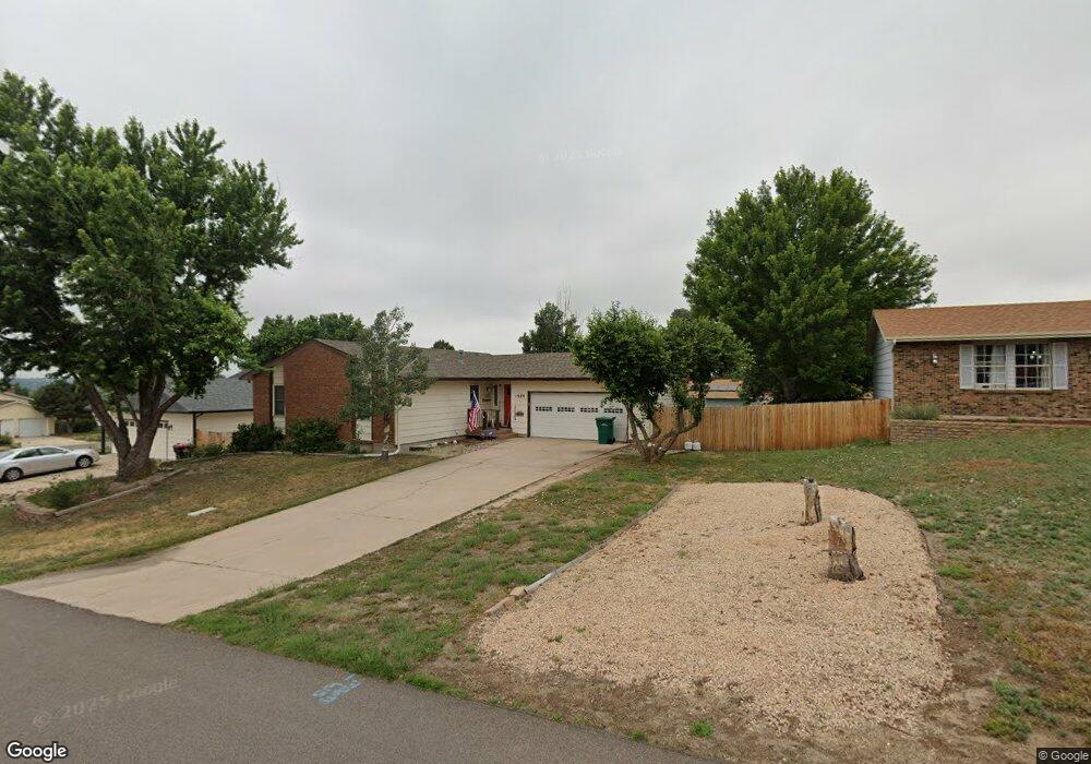
1920 Rusty Hinge Dr Colorado Springs, CO 80920
Briargate NeighborhoodEstimated Value: $452,564 - $482,000
5
Beds
4
Baths
1,296
Sq Ft
$363/Sq Ft
Est. Value
About This Home
This home is located at 1920 Rusty Hinge Dr, Colorado Springs, CO 80920 and is currently estimated at $469,891, approximately $362 per square foot. 1920 Rusty Hinge Dr is a home located in El Paso County with nearby schools including High Plains Elementary School, Mountain Ridge Middle School, and Rampart High School.
Ownership History
Date
Name
Owned For
Owner Type
Purchase Details
Closed on
Oct 30, 2002
Sold by
Schellhous Robbin R and Schellhous Lillian M
Bought by
Schellhous Robbin R and Schellhous Lillian M
Current Estimated Value
Purchase Details
Closed on
Oct 4, 1999
Sold by
Anderson Bruce R and Anderson Amy I
Bought by
Schellhous Robbin R and Schellhous Lillian M
Home Financials for this Owner
Home Financials are based on the most recent Mortgage that was taken out on this home.
Original Mortgage
$124,000
Outstanding Balance
$37,441
Interest Rate
7.83%
Estimated Equity
$432,450
Purchase Details
Closed on
May 1, 1979
Bought by
Schellhous Robbin R Trustee
Create a Home Valuation Report for This Property
The Home Valuation Report is an in-depth analysis detailing your home's value as well as a comparison with similar homes in the area
Home Values in the Area
Average Home Value in this Area
Purchase History
| Date | Buyer | Sale Price | Title Company |
|---|---|---|---|
| Schellhous Robbin R | -- | -- | |
| Schellhous Robbin R | $155,000 | Stewart Title | |
| Schellhous Robbin R Trustee | -- | -- |
Source: Public Records
Mortgage History
| Date | Status | Borrower | Loan Amount |
|---|---|---|---|
| Open | Schellhous Robbin R | $124,000 |
Source: Public Records
Tax History Compared to Growth
Tax History
| Year | Tax Paid | Tax Assessment Tax Assessment Total Assessment is a certain percentage of the fair market value that is determined by local assessors to be the total taxable value of land and additions on the property. | Land | Improvement |
|---|---|---|---|---|
| 2025 | $2,012 | $33,750 | -- | -- |
| 2024 | $1,523 | $35,130 | $5,360 | $29,770 |
| 2022 | $1,217 | $24,190 | $4,340 | $19,850 |
| 2021 | $1,345 | $24,880 | $4,460 | $20,420 |
| 2020 | $1,293 | $23,040 | $3,720 | $19,320 |
| 2019 | $1,280 | $23,040 | $3,720 | $19,320 |
| 2018 | $872 | $17,850 | $2,880 | $14,970 |
| 2017 | $869 | $17,850 | $2,880 | $14,970 |
| 2016 | $727 | $16,850 | $2,930 | $13,920 |
| 2015 | $725 | $16,850 | $2,930 | $13,920 |
| 2014 | $642 | $15,750 | $2,930 | $12,820 |
Source: Public Records
Map
Nearby Homes
- 1932 Silkwood Dr
- 2110 Whitehorn Dr N
- 1880 Independence Dr
- 2068 Silkwood Dr
- 1907 Independence Dr
- 2006 Summerset Dr
- 1884 Fuller Rd
- 2114 Summerset Dr
- 8161 Regiment Ct
- 2512 Elite Terrace
- 2650 Bannister Ct
- 8335 Sutterfield Dr
- 7191 Ross Dr
- 1931 London Carriage Grove
- 2270 Cloverdale Dr
- 8146 Horizon Dr
- 2615 Thrush Grove
- 7849 Flicker Grove
- 2326 Parliament Dr
- 2340 Winstead View
- 1930 Rusty Hinge Dr
- 1910 Rusty Hinge Dr
- 1938 Flintlock Terrace W
- 1930 Flintlock Terrace W
- 1940 Rusty Hinge Dr
- 1925 Rusty Hinge Dr
- 1926 Flintlock Terrace W
- 1935 Rusty Hinge Dr
- 1915 Rusty Hinge Dr
- 1945 Rusty Hinge Dr
- 1922 Flintlock Terrace W
- 1949 Flintlock Terrace W
- 1955 Rusty Hinge Dr
- 2014 Flintlock Terrace E
- 1945 Flintlock Terrace W
- 2003 Flintlock Terrace E
- 1929 Flintlock Terrace W
- 2012 Flintlock Terrace E
- 1933 Flintlock Terrace W
- 2016 Flintlock Terrace E