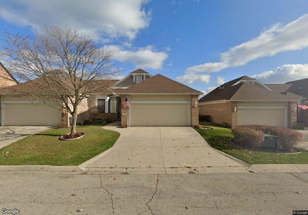
1920 Saint Clair St Unit 1 Port Huron, MI 48060
Estimated Value: $442,741 - $715,000
2
Beds
3
Baths
1,490
Sq Ft
$350/Sq Ft
Est. Value
About This Home
This home is located at 1920 Saint Clair St Unit 1, Port Huron, MI 48060 and is currently estimated at $521,935, approximately $350 per square foot. 1920 Saint Clair St Unit 1 is a home located in St. Clair County with nearby schools including H.D. Crull Elementary School, Holland Woods Middle School, and Port Huron Northern High School.
Ownership History
Date
Name
Owned For
Owner Type
Purchase Details
Closed on
May 6, 2011
Sold by
Kitchin David F and Kitchin Lou Ann
Bought by
Patricia A Banik Trust
Current Estimated Value
Purchase Details
Closed on
Mar 31, 2010
Sold by
Kitchin Merle E and Kitchin David F
Bought by
Kitchin David F and Lindke Merlene M
Create a Home Valuation Report for This Property
The Home Valuation Report is an in-depth analysis detailing your home's value as well as a comparison with similar homes in the area
Home Values in the Area
Average Home Value in this Area
Purchase History
| Date | Buyer | Sale Price | Title Company |
|---|---|---|---|
| Patricia A Banik Trust | $220,000 | None Available | |
| Kitchin David F | -- | None Available |
Source: Public Records
Tax History Compared to Growth
Tax History
| Year | Tax Paid | Tax Assessment Tax Assessment Total Assessment is a certain percentage of the fair market value that is determined by local assessors to be the total taxable value of land and additions on the property. | Land | Improvement |
|---|---|---|---|---|
| 2025 | $6,502 | $228,400 | $0 | $0 |
| 2024 | $5,794 | $221,500 | $0 | $0 |
| 2023 | $5,476 | $197,700 | $0 | $0 |
| 2022 | $5,986 | $173,800 | $0 | $0 |
| 2021 | $5,684 | $160,400 | $0 | $0 |
| 2020 | $5,743 | $148,500 | $148,500 | $0 |
| 2019 | $5,639 | $118,100 | $0 | $0 |
| 2018 | $5,513 | $118,100 | $0 | $0 |
| 2017 | $4,937 | $126,000 | $0 | $0 |
| 2016 | $4,296 | $126,000 | $0 | $0 |
| 2015 | $4,215 | $115,100 | $115,100 | $0 |
| 2014 | $4,215 | $111,400 | $111,400 | $0 |
| 2013 | -- | $112,000 | $0 | $0 |
Source: Public Records
Map
Nearby Homes
- 2400 Stone St Unit 2414
- 2419 Cherry St
- 1433 Poplar St
- 2431 Armour St
- 1116 Hancock St
- 1620 McBrady St
- 2534 Forest St
- 1649 Whipple St
- 1733 Whipple St
- 1417 Kearney St
- 1907 Riverside Dr
- 1819 Riverside Dr
- 713 Rawlins St
- 1002 Erie St
- 917 Saint Clair St
- 711 Stanton St
- 805 Pine Grove Ave
- 1202 Palmer Ct
- 2913 11th Ave
- 1531 Robinson St
- 1926 Saint Clair St
- 1934 Saint Clair St
- 1930 Saint Clair St
- 1900 Saint Clair St Unit 19
- 1900 Saint Clair St
- 1920 St Clair
- 1929 Saint Clair St
- 1933 Saint Clair St
- 1938 Saint Clair St
- 1921 Saint Clair St
- 1903 Saint Clair St
- 1846 Edison Shores Place
- 1846 Edison Shores Place Unit PLC
- 914 Scott Ave
- 909 Scott Ave
- 2007 Saint Clair St
- 1842 Edison Shores Place
- 918 Scott Ave
- 1922 Willow St
- 1914 Willow St