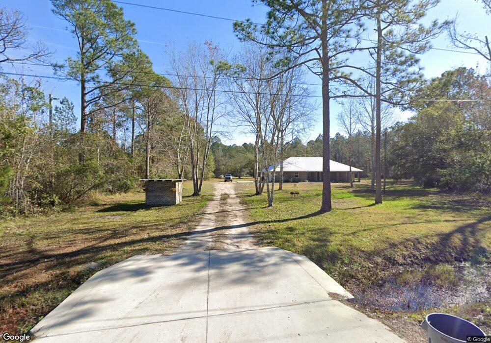
1920 Tomahawk Rd Saint Augustine, FL 32092
Estimated Value: $413,000 - $750,166
4
Beds
2
Baths
2,270
Sq Ft
$278/Sq Ft
Est. Value
About This Home
This home is located at 1920 Tomahawk Rd, Saint Augustine, FL 32092 and is currently estimated at $630,042, approximately $277 per square foot. 1920 Tomahawk Rd is a home with nearby schools including Picolata Crossing Elementary School and Pacetti Bay Middle School.
Ownership History
Date
Name
Owned For
Owner Type
Purchase Details
Closed on
Oct 30, 2015
Sold by
Sweeney Laurie
Bought by
Raulerson Branden and Tedder Katelyn
Current Estimated Value
Purchase Details
Closed on
Aug 17, 2005
Sold by
Ortagus Patricia A
Bought by
Sweeney Laurie
Purchase Details
Closed on
Jul 26, 2001
Sold by
Fitzpatrick Earl G and Fitzpatrick Geraldine M
Bought by
Ortagus Patricia A
Home Financials for this Owner
Home Financials are based on the most recent Mortgage that was taken out on this home.
Original Mortgage
$47,500
Interest Rate
7.08%
Create a Home Valuation Report for This Property
The Home Valuation Report is an in-depth analysis detailing your home's value as well as a comparison with similar homes in the area
Purchase History
| Date | Buyer | Sale Price | Title Company |
|---|---|---|---|
| Raulerson Branden | $78,000 | Paradise Title St Augustine | |
| Sweeney Laurie | $120,600 | Anastasia Title Services Inc | |
| Ortagus Patricia A | $50,000 | Independent Title Of St Augu |
Source: Public Records
Mortgage History
| Date | Status | Borrower | Loan Amount |
|---|---|---|---|
| Previous Owner | Ortagus Patricia A | $47,500 |
Source: Public Records
Tax History
| Year | Tax Paid | Tax Assessment Tax Assessment Total Assessment is a certain percentage of the fair market value that is determined by local assessors to be the total taxable value of land and additions on the property. | Land | Improvement |
|---|---|---|---|---|
| 2025 | $3,546 | $316,581 | -- | -- |
| 2024 | $3,546 | $307,659 | -- | -- |
| 2023 | $3,546 | $298,698 | $0 | $0 |
| 2022 | $3,445 | $289,998 | $0 | $0 |
| 2021 | $3,422 | $281,551 | $0 | $0 |
| 2020 | $3,410 | $277,664 | $0 | $0 |
| 2019 | $3,474 | $271,421 | $0 | $0 |
| 2018 | $3,435 | $266,360 | $0 | $0 |
| 2017 | $3,422 | $260,881 | $64,800 | $196,081 |
| 2016 | $1,177 | $64,800 | $0 | $0 |
| 2015 | $1,199 | $64,800 | $0 | $0 |
| 2014 | $1,212 | $64,800 | $0 | $0 |
Source: Public Records
Map
Nearby Homes
- 0 County Road 13 N Unit 2126542
- 5705 County Road 208
- 5705 County Road 208 Unit C
- 1755 Bennett Rd
- 454 Willow Lake Dr
- 744 Farmfield Dr
- 793 Farmfield Dr
- 714 Farmfield Dr
- 664 Farmfield Dr
- 55 Grassmere Ct
- 59 Evening Star Trace
- 350 Wrensong Place
- 326 Wrensong Place
- 51 Evening Star Trace
- 244 Willow Lake Dr
- 41 Evening Star Trace
- 31 Evening Star Trc
- 31 Evening Star Trace
- 207 Bluegrass Way
- 199 Bluegrass Way
- 1936 Tomahawk Rd
- 1939 Tomahawk Rd
- 1900 Tomahawk Rd
- 5271 Muskogean St
- 5280 Muskogean St
- 5281 Muskogean St
- 5300 Muskogean St
- 1931 County Road 13a
- 1985 Tomahawk
- 1947 County Road 13a N
- 1921 County Road 13a N
- 1911 County Road 13a N
- 1931 County Road 13a N
- 5310 Muskogean St
- 1951 County Road 13a N
- 5331 Muskogean St
- 5205 Choctaw St
- 1899 County Road 13a
- 5301 Choctaw St
- 5313 Choctaw St
Your Personal Tour Guide
Ask me questions while you tour the home.