1920 Tramson Dr Unit 99C Austin, TX 78741
Parker Lane NeighborhoodEstimated Value: $334,000 - $363,000
3
Beds
3
Baths
1,584
Sq Ft
$217/Sq Ft
Est. Value
About This Home
This home is located at 1920 Tramson Dr Unit 99C, Austin, TX 78741 and is currently estimated at $343,315, approximately $216 per square foot. 1920 Tramson Dr Unit 99C is a home located in Travis County with nearby schools including Linder Elementary School, Travis Heights Elementary School, and Harmony School of Excellence - Austin.
Ownership History
Date
Name
Owned For
Owner Type
Purchase Details
Closed on
Jun 30, 2010
Sold by
Shires Court Ltd
Bought by
Arredondo Linda
Current Estimated Value
Home Financials for this Owner
Home Financials are based on the most recent Mortgage that was taken out on this home.
Original Mortgage
$185,998
Outstanding Balance
$124,153
Interest Rate
4.81%
Mortgage Type
FHA
Estimated Equity
$219,162
Create a Home Valuation Report for This Property
The Home Valuation Report is an in-depth analysis detailing your home's value as well as a comparison with similar homes in the area
Home Values in the Area
Average Home Value in this Area
Purchase History
| Date | Buyer | Sale Price | Title Company |
|---|---|---|---|
| Arredondo Linda | -- | Itc |
Source: Public Records
Mortgage History
| Date | Status | Borrower | Loan Amount |
|---|---|---|---|
| Open | Arredondo Linda | $185,998 |
Source: Public Records
Tax History
| Year | Tax Paid | Tax Assessment Tax Assessment Total Assessment is a certain percentage of the fair market value that is determined by local assessors to be the total taxable value of land and additions on the property. | Land | Improvement |
|---|---|---|---|---|
| 2025 | $5,827 | $386,740 | $30,213 | $356,527 |
| 2023 | $6,614 | $456,259 | $0 | $0 |
| 2022 | $8,192 | $414,781 | $0 | $0 |
| 2021 | $8,208 | $377,074 | $18,883 | $358,191 |
| 2020 | $7,414 | $345,657 | $18,883 | $326,774 |
| 2018 | $7,527 | $339,966 | $18,883 | $334,038 |
| 2017 | $6,892 | $309,060 | $5,924 | $325,560 |
| 2016 | $6,266 | $280,964 | $18,883 | $299,143 |
| 2015 | $5,067 | $255,422 | $19,079 | $240,490 |
| 2014 | $5,067 | $232,202 | $0 | $0 |
Source: Public Records
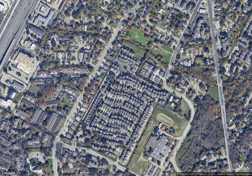
Map
Nearby Homes
- 1916 Tramson Dr Unit 98C
- 2012 Dinsdale Ln
- 2821 Saville Loop Unit 21C
- 1820 Carlson Dr Unit 43C
- 2020 Tripshaw Ln Unit 65C
- 2624 Metcalfe Rd Unit 2
- 2624 Metcalfe Rd Unit 17
- 1925 Teagle Dr Unit 234C
- 2905 Saville Loop Unit 13C
- 1720 Timber Ridge Dr
- 2001 Iroquois Ln
- 2009 Sager Dr Unit 270C
- 2829 Metcalfe Rd
- 2823 Metcalfe Rd
- 2821 Metcalfe Rd
- 2819 Metcalfe Rd
- 2825 Metcalfe Rd
- 2817 Metcalfe Rd
- 2827 Metcalfe Rd
- 2813-2827 Metcalfe Rd
- 1924 Tramson Dr
- 1924 Tramson Dr Unit 100
- 1912 Tripshaw Ln Unit 85C
- 1908 Tripshaw Ln Unit 87g
- 1908 Tripshaw Ln Unit 89CG
- 1908 Tripshaw Ln
- 1916 Tripshaw Ln
- 1916 Tripshaw Ln Unit 84CG
- 1916 Tripshaw Ln
- 1917 Tramson Dr Unit 162
- 1932 Tramson Dr Unit 102C
- 1920 Tripshaw Ln Unit 81CG
- 1920 Tripshaw Ln
- 1908 Tramson Dr Unit 96C
- 1912 Tramson Dr Unit 97C
- 1920 Dinsdale Ln Unit 159
- 1920 Dinsdale Ln
- 1904 Tramson Dr Unit 95C
- 1916 Dinsdale Ln
- 1916 Dinsdale Ln Unit 160
Your Personal Tour Guide
Ask me questions while you tour the home.