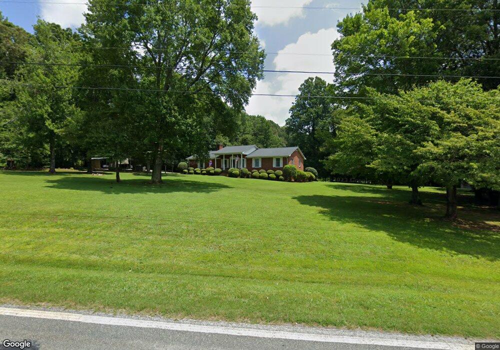
1920 Weaver Rd Salisbury, NC 28147
Estimated Value: $311,352 - $448,000
Studio
2
Baths
1,829
Sq Ft
$212/Sq Ft
Est. Value
About This Home
This home is located at 1920 Weaver Rd, Salisbury, NC 28147 and is currently estimated at $387,338, approximately $211 per square foot. 1920 Weaver Rd is a home located in Rowan County with nearby schools including Millbridge Elementary School, Southeast Middle School, and South Rowan High School.
Ownership History
Date
Name
Owned For
Owner Type
Purchase Details
Closed on
Jun 17, 2015
Sold by
Rivers Charles Anthony and Rivers Margaret Earlene Lips
Bought by
Rivers Charles Anthony and Rivers Margaret Earlene Lipe
Current Estimated Value
Purchase Details
Closed on
Apr 21, 2015
Sold by
Rivers Charles Anthony and Rivers Margaret Earlene Lipe
Bought by
Rivers Charles Anthony and Rivers Margaret Earlene Lipe
Create a Home Valuation Report for This Property
The Home Valuation Report is an in-depth analysis detailing your home's value as well as a comparison with similar homes in the area
Purchase History
| Date | Buyer | Sale Price | Title Company |
|---|---|---|---|
| Rivers Charles Anthony | -- | None Available | |
| Rivers Charles Anthony | -- | None Available |
Source: Public Records
Tax History
| Year | Tax Paid | Tax Assessment Tax Assessment Total Assessment is a certain percentage of the fair market value that is determined by local assessors to be the total taxable value of land and additions on the property. | Land | Improvement |
|---|---|---|---|---|
| 2025 | $1,807 | $266,753 | $56,639 | $210,114 |
| 2024 | $1,807 | $266,753 | $56,639 | $210,114 |
| 2023 | $1,807 | $266,753 | $56,639 | $210,114 |
| 2022 | $1,151 | $152,419 | $39,072 | $113,347 |
| 2021 | $1,139 | $152,419 | $39,072 | $113,347 |
| 2020 | $1,139 | $152,419 | $39,072 | $113,347 |
| 2019 | $1,139 | $152,419 | $39,072 | $113,347 |
| 2018 | $1,009 | $136,069 | $39,071 | $96,998 |
| 2017 | $1,009 | $136,069 | $39,071 | $96,998 |
| 2016 | $1,009 | $136,069 | $39,071 | $96,998 |
| 2015 | $1,021 | $136,069 | $39,071 | $96,998 |
| 2014 | -- | $137,397 | $39,071 | $98,326 |
Source: Public Records
Map
Nearby Homes
- 1520 Weaver Rd
- 1298 Timber Spring Ln
- 2340 Patterson Rd
- 105 Hidden Springs Dr
- 1910 Cooper Rd
- 613 Fly Fisher Dr
- 895 Cooper Rd
- 0 Patrick Dr
- 2740 Hill Top Dr
- 1005 Osprey Ln
- 1734 Barnhardt Rd
- 1724 Barnhardt Rd
- 610 Duck Dr
- 1188 Cobblestone Dr
- 1070 Castle Mill Ln
- 1091 Stonegate Dr
- 152 Old Bailey Ct
- 153 Trinity Ct
- 250 Goldenrod Cir
- 1135 Stonegate Dr
- 1870 Weaver Rd
- 1935 Weaver Rd
- 1960 Weaver Rd
- 1780 Weaver Rd
- 1780 Weaver Rd
- 2035 Weaver Rd
- 1720 Weaver Rd
- 2090 Weaver Rd
- 2150 Weaver Rd
- 1675 Weaver Rd
- 725 Dorothy Dr
- 1625 Weaver Rd
- 715 Dorothy Dr
- 1635 Weaver Rd
- 1525 Weaver Rd
- 2955 Patterson Rd
- 2725 Patterson Rd
- 710 Dorothy Dr
- 3085 Patterson Rd
- 2635 Patterson Rd
Your Personal Tour Guide
Ask me questions while you tour the home.