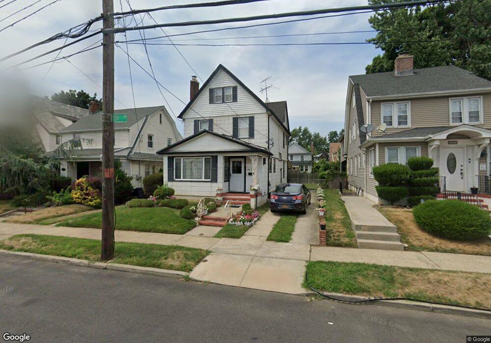
19201 104th Ave Saint Albans, NY 11412
Hollis NeighborhoodEstimated Value: $739,884 - $806,000
--
Bed
--
Bath
1,911
Sq Ft
$399/Sq Ft
Est. Value
About This Home
This home is located at 19201 104th Ave, Saint Albans, NY 11412 and is currently estimated at $761,971, approximately $398 per square foot. 19201 104th Ave is a home located in Queens County with nearby schools including P.S. 118 Lorraine Hansberry, I.S. 192 The Linden, and Wellspring Elementary & Middle.
Ownership History
Date
Name
Owned For
Owner Type
Purchase Details
Closed on
Jun 11, 2002
Sold by
Wingfield Rosetta
Bought by
Wingfield Rosetta and Jackson Charlissa
Current Estimated Value
Home Financials for this Owner
Home Financials are based on the most recent Mortgage that was taken out on this home.
Original Mortgage
$150,000
Outstanding Balance
$63,064
Interest Rate
6.73%
Estimated Equity
$698,907
Create a Home Valuation Report for This Property
The Home Valuation Report is an in-depth analysis detailing your home's value as well as a comparison with similar homes in the area
Home Values in the Area
Average Home Value in this Area
Purchase History
| Date | Buyer | Sale Price | Title Company |
|---|---|---|---|
| Wingfield Rosetta | -- | -- |
Source: Public Records
Mortgage History
| Date | Status | Borrower | Loan Amount |
|---|---|---|---|
| Open | Wingfield Rosetta | $150,000 |
Source: Public Records
Tax History Compared to Growth
Tax History
| Year | Tax Paid | Tax Assessment Tax Assessment Total Assessment is a certain percentage of the fair market value that is determined by local assessors to be the total taxable value of land and additions on the property. | Land | Improvement |
|---|---|---|---|---|
| 2025 | $2,403 | $33,422 | $8,856 | $24,566 |
| 2024 | $2,507 | $31,531 | $9,983 | $21,548 |
| 2023 | $2,224 | $29,748 | $8,789 | $20,959 |
| 2022 | $2,142 | $37,380 | $13,260 | $24,120 |
| 2021 | $2,294 | $34,500 | $13,260 | $21,240 |
| 2020 | $2,289 | $33,540 | $13,260 | $20,280 |
| 2019 | $4,838 | $30,540 | $13,260 | $17,280 |
| 2018 | $4,394 | $24,790 | $12,508 | $12,282 |
| 2017 | $4,122 | $23,389 | $11,068 | $12,321 |
| 2016 | $4,366 | $23,389 | $11,068 | $12,321 |
| 2015 | $2,441 | $23,210 | $12,721 | $10,489 |
| 2014 | $2,441 | $21,897 | $12,804 | $9,093 |
Source: Public Records
Map
Nearby Homes
- 190-30 103rd Ave
- 10220 189th St
- 104-40 194th St
- 194-10 Hollis Ave
- 104-11 188th St
- 10532 192nd St
- 102-35 187th St
- 19027 109th Rd
- 10211 187th St
- 10533 Farmers Blvd
- 19319 109th Rd
- 193-21 109th Rd
- 19611 100th Ave
- 188-14 Woodhull Ave
- 187-23 Brinkerhoff Ave
- 185-05 Henderson Ave
- 19511 Woodhull Ave
- 19515 Woodhull Ave
- 9141 195th St
- 188-09 Jamaica Ave
- 19121 104th Ave
- 19203 104th Ave
- 168-68 192 Rd
- 19117 104th Ave
- 19207 104th Ave
- 19044 103rd Ave
- 19048 103rd Ave
- 19040 103rd Ave
- 19209 104th Ave
- 190-48 103rd Ave
- 19052 103rd Ave
- 19111 104th Ave
- 19111 104th Ave
- 19036 103rd Ave
- 19030 103rd Ave
- 19036 103rd Ave
- 19206 104th Ave
- 191-12 104th Ave
- 192-10 104th Ave
- 104-23 192nd St