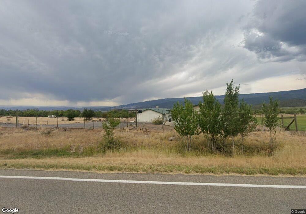
19201 Highway 65 Cedaredge, CO 81413
Estimated Value: $491,000 - $612,000
3
Beds
2
Baths
1,842
Sq Ft
$299/Sq Ft
Est. Value
About This Home
This home is located at 19201 Highway 65, Cedaredge, CO 81413 and is currently estimated at $551,562, approximately $299 per square foot. 19201 Highway 65 is a home located in Delta County with nearby schools including Cedaredge Elementary School, Cedaredge Middle School, and Cedaredge High School.
Ownership History
Date
Name
Owned For
Owner Type
Purchase Details
Closed on
Jul 14, 2009
Sold by
Lynch Sally
Bought by
Lynch Merle
Current Estimated Value
Home Financials for this Owner
Home Financials are based on the most recent Mortgage that was taken out on this home.
Original Mortgage
$126,000
Interest Rate
5.71%
Mortgage Type
New Conventional
Purchase Details
Closed on
Jan 17, 2006
Sold by
Lynch Sally A
Bought by
Lynch Merle
Purchase Details
Closed on
May 15, 2003
Sold by
Hackett Timothy H
Bought by
Lynch Merle and Lynch Merle
Purchase Details
Closed on
Mar 30, 2001
Sold by
Turley Paul W
Bought by
Lynch Merle and Hackett Timothy H
Purchase Details
Closed on
Aug 20, 1997
Sold by
Burk
Bought by
Lynch Merle and Lynch Turley
Create a Home Valuation Report for This Property
The Home Valuation Report is an in-depth analysis detailing your home's value as well as a comparison with similar homes in the area
Home Values in the Area
Average Home Value in this Area
Purchase History
| Date | Buyer | Sale Price | Title Company |
|---|---|---|---|
| Lynch Merle | -- | Utc Colorado | |
| Lynch Merle | -- | None Available | |
| Lynch Merle | $175,000 | -- | |
| Lynch Merle | $160,000 | -- | |
| Lynch Merle | $40,100 | -- |
Source: Public Records
Mortgage History
| Date | Status | Borrower | Loan Amount |
|---|---|---|---|
| Closed | Lynch Merle | $126,000 |
Source: Public Records
Tax History Compared to Growth
Tax History
| Year | Tax Paid | Tax Assessment Tax Assessment Total Assessment is a certain percentage of the fair market value that is determined by local assessors to be the total taxable value of land and additions on the property. | Land | Improvement |
|---|---|---|---|---|
| 2024 | $1,073 | $24,055 | $9,285 | $14,770 |
| 2023 | $1,073 | $24,055 | $9,285 | $14,770 |
| 2022 | $793 | $20,143 | $6,470 | $13,673 |
| 2021 | $791 | $20,653 | $6,635 | $14,018 |
| 2020 | $639 | $17,894 | $6,820 | $11,074 |
| 2019 | $641 | $17,894 | $6,820 | $11,074 |
| 2018 | $571 | $15,740 | $6,798 | $8,942 |
| 2017 | $571 | $15,740 | $6,798 | $8,942 |
| 2016 | $525 | $16,073 | $8,111 | $7,962 |
| 2014 | -- | $15,516 | $8,111 | $7,405 |
Source: Public Records
Map
Nearby Homes
- Unit 13 W Elk Dr
- TBD SE 3rd Lot 5 Will-O-way Subdivision St
- 18865 Northridge Rd
- 23041 T Rd
- 23045 T Rd
- 19102 Surface Creek Rd
- 24500 Timothy Rd
- 20246 2375 Rd
- 1567 N Grand Mesa Dr
- 520 NE Ginters Grove Ln
- 24593 Timothy Rd
- 22876 Thunder Mountain Ln
- 18200 Surface Creek Rd
- 17969 Surface Creek Rd
- 377 NE Indian Camp Ave
- 24119 Ute Trail Rd
- 800 NE 2nd St
- 18076 Hanson Rd
- 635 NE 2nd St
- 565 N Grand Mesa Dr
- Lot 1 2225 Rd
- 0 NW Fir Ave
- TBD 2625 Ln
- TBD SE 3rd Lot 8 Will-O-way Subdivision St
- 19095 Highway 65
- 19122 2325 Rd
- 19236 2325 Rd
- 19454 Highway 65
- 19235 2325 Rd
- 19478 2325 Rd
- 19008 2325 Rd
- 19004 2325 Rd
- 19169 2375 Rd
- 18923 Highway 65
- 19474 2325 Rd
- 18942 Highway 65
- 19266 2375 Rd
- 19686 2375 Rd
- 19682 2375 Rd
- 19186 2375 Rd