19206 Renwick Rd Lockport, IL 60441
Lewis University NeighborhoodEstimated Value: $224,867 - $363,000
--
Bed
1
Bath
--
Sq Ft
0.47
Acres
About This Home
This home is located at 19206 Renwick Rd, Lockport, IL 60441 and is currently estimated at $278,717. 19206 Renwick Rd is a home located in Will County with nearby schools including Irene King Elementary School, A. Vito Martinez Middle School, and Romeoville High School.
Ownership History
Date
Name
Owned For
Owner Type
Purchase Details
Closed on
Nov 21, 2022
Sold by
Senffner Audrey S and Senffner Carl L
Bought by
Audrey S Senffner Declaration Of Trust and Senffner
Current Estimated Value
Purchase Details
Closed on
Apr 22, 2016
Sold by
Senffner Carl L and Estate Of Anthony Senffner
Bought by
Senffner Carl L
Purchase Details
Closed on
Jul 10, 2009
Sold by
Kozak Lawrence J and Estate Of Joseph Kozak
Bought by
Senffner Anthony
Create a Home Valuation Report for This Property
The Home Valuation Report is an in-depth analysis detailing your home's value as well as a comparison with similar homes in the area
Home Values in the Area
Average Home Value in this Area
Purchase History
| Date | Buyer | Sale Price | Title Company |
|---|---|---|---|
| Audrey S Senffner Declaration Of Trust | -- | None Listed On Document | |
| Senffner Carl L | $105,000 | Attorney | |
| Senffner Anthony | -- | Chicago Title Insurance Co |
Source: Public Records
Tax History Compared to Growth
Tax History
| Year | Tax Paid | Tax Assessment Tax Assessment Total Assessment is a certain percentage of the fair market value that is determined by local assessors to be the total taxable value of land and additions on the property. | Land | Improvement |
|---|---|---|---|---|
| 2024 | $7,027 | $68,964 | $24,372 | $44,592 |
| 2023 | $7,027 | $61,912 | $21,880 | $40,032 |
| 2022 | $6,427 | $58,907 | $20,819 | $38,088 |
| 2021 | $6,152 | $55,359 | $19,565 | $35,794 |
| 2020 | $6,010 | $53,539 | $18,922 | $34,617 |
| 2019 | $5,729 | $50,748 | $17,936 | $32,812 |
| 2018 | $5,814 | $50,748 | $17,936 | $32,812 |
| 2017 | $5,001 | $47,907 | $16,932 | $30,975 |
| 2016 | $4,123 | $44,899 | $15,869 | $29,030 |
| 2015 | $1,807 | $42,720 | $15,099 | $27,621 |
| 2014 | $1,807 | $42,720 | $15,099 | $27,621 |
| 2013 | $1,807 | $42,720 | $15,099 | $27,621 |
Source: Public Records
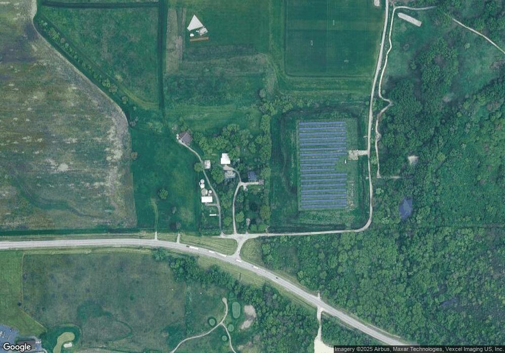
Map
Nearby Homes
- 15035 Hartman Dr
- 729 Vine St
- 327 S State St
- 1016 S State St
- 507 S Hamilton St
- 120 N State St
- 118 N State St
- 202 E 14th St
- 1.4 Acres S Archer Ave
- 1600 Fairmount
- Lot 24 W Windemere Cir
- Lot 13 W Windemere Cir
- 17439 W Windemere Cir
- 17529 W Windemere Cir
- 814 S Washington St
- 219 S Washington St
- 119 Franklin St
- 1006 S Jefferson St
- 2004 Boehme St
- 16516 Coventry Ln Unit 1
- 19220 Renwick Rd
- 19202 Renwick Rd
- 9 W Renwick Rd
- 00000 W 9th St
- 16512 Broadway St
- 19039 Airport Rd
- 19212 Airport Rd
- 19220 Airport Rd
- 19220 Airport Rd
- 19228 Airport Rd
- 19202 Airport Rd
- 19160 Airport Rd Unit 1
- 19240 Airport Rd
- 19150 Airport Rd
- 19248 Airport Rd
- 19140 Airport Rd
- 19256 Airport Rd
- 19256 W Airport Rd
- 19256 Airport Rd
- 19132 Airport Rd