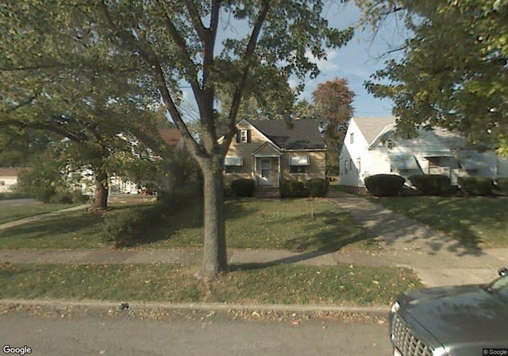
19207 Nitra Ave Maple Heights, OH 44137
Estimated Value: $115,717 - $146,000
3
Beds
1
Bath
1,192
Sq Ft
$107/Sq Ft
Est. Value
About This Home
This home is located at 19207 Nitra Ave, Maple Heights, OH 44137 and is currently estimated at $127,929, approximately $107 per square foot. 19207 Nitra Ave is a home located in Cuyahoga County with nearby schools including Abraham Lincoln Elementary School, Rockside/ J.F. Kennedy School, and Barack Obama School.
Ownership History
Date
Name
Owned For
Owner Type
Purchase Details
Closed on
Dec 24, 1997
Sold by
Mantz Julia
Bought by
Shambley Christopher B
Current Estimated Value
Home Financials for this Owner
Home Financials are based on the most recent Mortgage that was taken out on this home.
Original Mortgage
$66,820
Outstanding Balance
$9,448
Interest Rate
7.35%
Mortgage Type
FHA
Estimated Equity
$118,481
Purchase Details
Closed on
Sep 17, 1976
Sold by
Mantz John H and Mantz Julia M
Bought by
Mantz Julia M
Purchase Details
Closed on
Jan 1, 1975
Bought by
Mantz John H and Mantz Julia M
Create a Home Valuation Report for This Property
The Home Valuation Report is an in-depth analysis detailing your home's value as well as a comparison with similar homes in the area
Home Values in the Area
Average Home Value in this Area
Purchase History
| Date | Buyer | Sale Price | Title Company |
|---|---|---|---|
| Shambley Christopher B | $66,900 | -- | |
| Mantz Julia M | -- | -- | |
| Mantz John H | -- | -- |
Source: Public Records
Mortgage History
| Date | Status | Borrower | Loan Amount |
|---|---|---|---|
| Open | Shambley Christopher B | $66,820 |
Source: Public Records
Tax History
| Year | Tax Paid | Tax Assessment Tax Assessment Total Assessment is a certain percentage of the fair market value that is determined by local assessors to be the total taxable value of land and additions on the property. | Land | Improvement |
|---|---|---|---|---|
| 2025 | $2,926 | $35,210 | $6,650 | $28,560 |
| 2024 | $3,252 | $35,210 | $6,650 | $28,560 |
| 2023 | $2,094 | $18,660 | $4,030 | $14,630 |
| 2022 | $2,087 | $18,660 | $4,030 | $14,630 |
| 2021 | $2,222 | $18,660 | $4,030 | $14,630 |
| 2020 | $1,907 | $14,140 | $3,050 | $11,100 |
| 2019 | $1,897 | $40,400 | $8,700 | $31,700 |
| 2018 | $1,887 | $14,140 | $3,050 | $11,100 |
| 2017 | $1,758 | $12,680 | $2,840 | $9,840 |
| 2016 | $1,701 | $12,680 | $2,840 | $9,840 |
| 2015 | $1,692 | $12,680 | $2,840 | $9,840 |
| 2014 | $1,692 | $13,940 | $3,120 | $10,820 |
Source: Public Records
Map
Nearby Homes
- 5165 Camden Rd
- 18990 Raymond St
- 5194 Homewood Ave
- 18851 Raymond St
- 18915 Longview Ave
- 19520 Maple Heights Blvd
- 19931 Raymond St
- 18715 Libby Rd
- 19910 Mountville Dr
- 5100 Erwin St
- 19289 Stafford Ave
- 5147 Warrensville Center Rd
- 19411 Marvin Rd
- 18909 Maple Heights Blvd
- 5219 Joseph St
- 20600 Watson Rd
- 5357 Beechwood Ave
- 5150 Arch St
- 5409 Hollywood Ave
- 5239 Arch St
- 19303 Nitra Ave
- 19203 Nitra Ave
- 19307 Nitra Ave
- 0 Nitra Ave
- 19230 Raymond St
- 19250 Raymond St
- 19200 Raymond St
- 19111 Nitra Ave
- 5135 Camden Rd
- 19313 Nitra Ave
- 5138 Camden Rd
- 19290 Raymond St
- 19180 Raymond St
- 19109 Nitra Ave
- 19317 Nitra Ave
- 19302 Raymond St
- 5142 Camden Rd
- 19160 Raymond St
- 19105 Nitra Ave
- 5143 Camden Rd
Your Personal Tour Guide
Ask me questions while you tour the home.