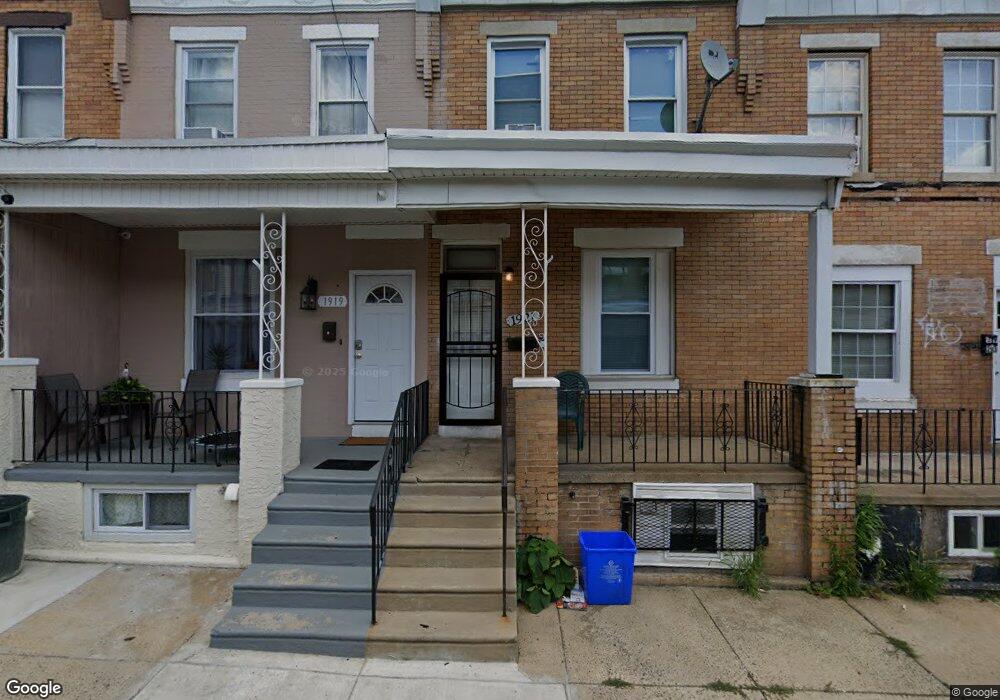
1921 Auth St Philadelphia, PA 19124
Frankford NeighborhoodEstimated Value: $82,000 - $126,000
2
Beds
1
Bath
840
Sq Ft
$119/Sq Ft
Est. Value
About This Home
This home is located at 1921 Auth St, Philadelphia, PA 19124 and is currently estimated at $100,338, approximately $119 per square foot. 1921 Auth St is a home located in Philadelphia County with nearby schools including Allen M. Stearne School, Frankford High School, and First Philadelphia Preparatory Charter School.
Ownership History
Date
Name
Owned For
Owner Type
Purchase Details
Closed on
May 6, 2021
Sold by
Lucchese Thomas F and Lucchese Deborah
Bought by
Laois Properties Llc
Current Estimated Value
Purchase Details
Closed on
Nov 3, 2014
Sold by
Sokolis Thomas J
Bought by
Lucchese Thomas F and Lucchese Deborah
Purchase Details
Closed on
Sep 30, 2005
Sold by
Disanto Marc T
Bought by
Sokolis Thomas J
Home Financials for this Owner
Home Financials are based on the most recent Mortgage that was taken out on this home.
Original Mortgage
$46,500
Interest Rate
5.78%
Mortgage Type
Fannie Mae Freddie Mac
Purchase Details
Closed on
Sep 29, 2004
Sold by
Brzycki Helen and Brzycki Terrance
Bought by
Disanto Marc T
Purchase Details
Closed on
May 21, 2004
Sold by
Marshall Richard and Estate Of Helen Marshall
Bought by
Brzycki Helen and Brzycki Terrance
Create a Home Valuation Report for This Property
The Home Valuation Report is an in-depth analysis detailing your home's value as well as a comparison with similar homes in the area
Home Values in the Area
Average Home Value in this Area
Purchase History
| Date | Buyer | Sale Price | Title Company |
|---|---|---|---|
| Laois Properties Llc | $69,000 | Advantage Abstract Inc | |
| Lucchese Thomas F | $4,000 | None Available | |
| Sokolis Thomas J | $49,000 | None Available | |
| Disanto Marc T | $30,000 | -- | |
| Brzycki Helen | $14,000 | -- |
Source: Public Records
Mortgage History
| Date | Status | Borrower | Loan Amount |
|---|---|---|---|
| Previous Owner | Sokolis Thomas J | $46,500 |
Source: Public Records
Tax History Compared to Growth
Tax History
| Year | Tax Paid | Tax Assessment Tax Assessment Total Assessment is a certain percentage of the fair market value that is determined by local assessors to be the total taxable value of land and additions on the property. | Land | Improvement |
|---|---|---|---|---|
| 2025 | $770 | $75,400 | $15,080 | $60,320 |
| 2024 | $770 | $75,400 | $15,080 | $60,320 |
| 2023 | $770 | $55,000 | $11,000 | $44,000 |
| 2022 | $526 | $55,000 | $11,000 | $44,000 |
| 2021 | $526 | $0 | $0 | $0 |
| 2020 | $526 | $37,600 | $5,624 | $31,976 |
| 2019 | $505 | $0 | $0 | $0 |
| 2018 | $431 | $0 | $0 | $0 |
| 2017 | $431 | $0 | $0 | $0 |
| 2016 | $431 | $0 | $0 | $0 |
| 2015 | $594 | $0 | $0 | $0 |
| 2014 | -- | $44,300 | $7,478 | $36,822 |
| 2012 | -- | $6,048 | $476 | $5,572 |
Source: Public Records
Map
Nearby Homes
- 1922 Ruan St
- 4251 Tackawanna St
- 4255-57 Orchard St
- 1901 Berkshire St
- 1818 Church St
- 4034 80 Orchard St
- 4267 Paul St
- 4331 Waln St
- 4270 Paul St
- 4410 Waln St
- 4412 Waln St
- 4123 Orchard St
- 4184 Paul St
- 4134-36 Orchard St
- 4147 Paul St
- 4347 Paul St
- 4283 Frankford Ave
- 4534 Ditman St
- 4229 Romain St
- 4742 Frankford Ave