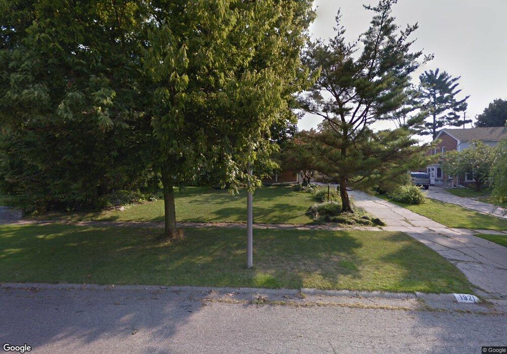
1921 Colchester Rd Unit Bldg-Unit Flint, MI 48503
Woodcroft Estates NeighborhoodEstimated Value: $237,000 - $366,000
4
Beds
3
Baths
2,310
Sq Ft
$131/Sq Ft
Est. Value
About This Home
This home is located at 1921 Colchester Rd Unit Bldg-Unit, Flint, MI 48503 and is currently estimated at $302,883, approximately $131 per square foot. 1921 Colchester Rd Unit Bldg-Unit is a home located in Genesee County with nearby schools including Durant-Tuuri-Mott Elementary School, Flint Southwestern Classical Academy, and St. Paul Lutheran School.
Ownership History
Date
Name
Owned For
Owner Type
Purchase Details
Closed on
Oct 10, 2018
Sold by
The Estate Of Alan M Smith
Bought by
Alternative Community Living and Hope Newtwork New Passages
Current Estimated Value
Purchase Details
Closed on
Jul 16, 2018
Sold by
Smith Yen Yun
Bought by
Smith Alan M and Smith Yen Yun
Purchase Details
Closed on
Jun 15, 2018
Sold by
Trombley Patric E
Bought by
Smith Yen Yun
Purchase Details
Closed on
Feb 25, 2008
Sold by
Trombley Judith C
Bought by
Trombley Patric E
Home Financials for this Owner
Home Financials are based on the most recent Mortgage that was taken out on this home.
Original Mortgage
$126,650
Interest Rate
5.62%
Mortgage Type
New Conventional
Create a Home Valuation Report for This Property
The Home Valuation Report is an in-depth analysis detailing your home's value as well as a comparison with similar homes in the area
Home Values in the Area
Average Home Value in this Area
Purchase History
| Date | Buyer | Sale Price | Title Company |
|---|---|---|---|
| Alternative Community Living | $162,900 | Bell Title Agency | |
| Smith Alan M | -- | Sun Title Agency Of Michigan | |
| Smith Yen Yun | $149,900 | Liberty Title | |
| Trombley Patric E | -- | Lawyers |
Source: Public Records
Mortgage History
| Date | Status | Borrower | Loan Amount |
|---|---|---|---|
| Previous Owner | Trombley Patric E | $126,650 |
Source: Public Records
Tax History Compared to Growth
Tax History
| Year | Tax Paid | Tax Assessment Tax Assessment Total Assessment is a certain percentage of the fair market value that is determined by local assessors to be the total taxable value of land and additions on the property. | Land | Improvement |
|---|---|---|---|---|
| 2025 | $265 | $0 | $0 | $0 |
| 2024 | $265 | $0 | $0 | $0 |
| 2023 | $275 | $0 | $0 | $0 |
| 2022 | $0 | $0 | $0 | $0 |
| 2021 | $268 | $0 | $0 | $0 |
| 2020 | $268 | $0 | $0 | $0 |
| 2019 | $4,762 | $70,300 | $0 | $0 |
| 2018 | $1,790 | $62,200 | $0 | $0 |
| 2017 | $1,730 | $0 | $0 | $0 |
| 2016 | $1,717 | $0 | $0 | $0 |
| 2015 | -- | $0 | $0 | $0 |
| 2014 | -- | $0 | $0 | $0 |
| 2012 | -- | $36,400 | $0 | $0 |
Source: Public Records
Map
Nearby Homes
- 3102 Westwood Pkwy
- 3001 Yale St
- 2926 Yale St
- 3305 Larchmont St
- 3402 Brandon St
- 3401 Westwood Pkwy
- 3214 Clairmont St
- 1516 Gainey Ave
- 1414 Knapp Ave
- 1326 Hughes Ave
- 3217 Arlene Ave
- 3506 Chicago Blvd
- 1318 Knapp Ave
- 2608 Cumings Ave
- 1126 Clancy Ave
- 2618 Brown St
- 1114 Clancy Ave
- 1202 Knapp Ave
- 1725 Lincoln Dr
- 2537 Swayze St
- 1911 Colchester Rd
- 1921 Colchester Rd
- 1931 Colchester Rd
- 1910 Hampden Rd
- 1902 Hampden Rd
- 1901 Colchester Rd
- 1941 Colchester Rd
- 1920 Hampden Rd
- 1860 Hampden Rd
- 1930 Colchester Rd
- 1920 Colchester Rd
- 1831 Colchester Rd
- 1940 Colchester Rd
- 1910 Colchester Rd
- 2902 Westwood Pkwy
- 2802 Westwood Pkwy
- 1902 Colchester Rd
- 2910 Westwood Pkwy
- 2820 Westwood Pkwy
- 1840 Hampden Rd