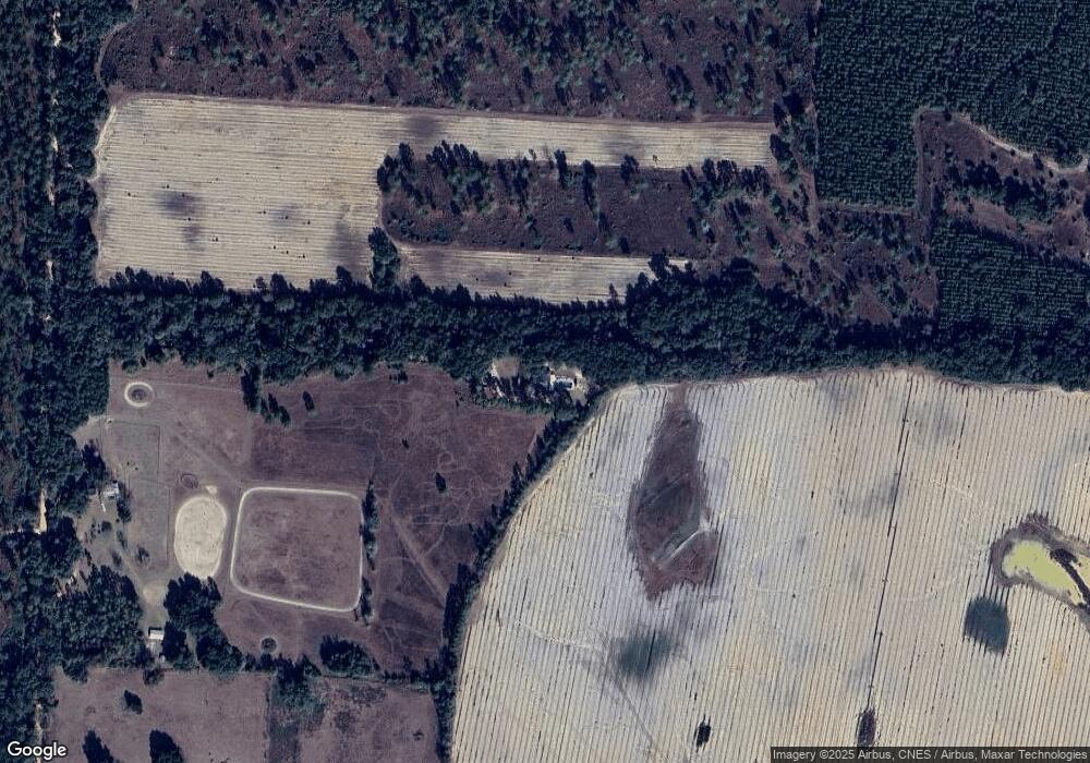
1921 Coon Pond Rd Newton, GA 39870
Estimated Value: $203,000 - $294,000
--
Bed
1
Bath
2,522
Sq Ft
$99/Sq Ft
Est. Value
About This Home
This home is located at 1921 Coon Pond Rd, Newton, GA 39870 and is currently estimated at $249,423, approximately $98 per square foot. 1921 Coon Pond Rd is a home located in Baker County with nearby schools including Baker County School.
Ownership History
Date
Name
Owned For
Owner Type
Purchase Details
Closed on
Oct 25, 2013
Sold by
Hsbc Mtg Svcs Inc
Bought by
Watson Brandon
Current Estimated Value
Purchase Details
Closed on
Jan 2, 2013
Sold by
Jenson Forrest
Bought by
Hsbc Mtg Svcs Inc
Purchase Details
Closed on
Jun 13, 2006
Sold by
Jenson Forrest
Bought by
Jenson Forrest and Bryant Katherine Denise
Create a Home Valuation Report for This Property
The Home Valuation Report is an in-depth analysis detailing your home's value as well as a comparison with similar homes in the area
Home Values in the Area
Average Home Value in this Area
Purchase History
| Date | Buyer | Sale Price | Title Company |
|---|---|---|---|
| Watson Brandon | $64,000 | -- | |
| Hsbc Mtg Svcs Inc | -- | -- | |
| Jenson Forrest | -- | -- |
Source: Public Records
Tax History Compared to Growth
Tax History
| Year | Tax Paid | Tax Assessment Tax Assessment Total Assessment is a certain percentage of the fair market value that is determined by local assessors to be the total taxable value of land and additions on the property. | Land | Improvement |
|---|---|---|---|---|
| 2024 | $1,667 | $68,397 | $1,313 | $67,084 |
| 2023 | $1,667 | $68,397 | $1,313 | $67,084 |
| 2022 | $1,481 | $58,785 | $1,313 | $57,472 |
| 2021 | $1,483 | $58,785 | $1,313 | $57,472 |
| 2020 | $1,491 | $58,785 | $1,313 | $57,472 |
| 2019 | $1,497 | $58,785 | $1,313 | $57,472 |
| 2018 | $1,438 | $58,785 | $1,313 | $57,472 |
| 2017 | $1,438 | $58,785 | $1,313 | $57,472 |
| 2016 | $1,465 | $58,982 | $1,510 | $57,472 |
| 2015 | $1,569 | $64,149 | $1,510 | $62,639 |
| 2011 | -- | $67,408 | $1,510 | $65,898 |
Source: Public Records
Map
Nearby Homes
- 1640 Pretoria Rd
- 9050 Elmodel Hwy
- 0 Hart Ln
- 2250 Milford Rd
- 3573 Georgia 97
- 0 Georgia 97
- 6050 Newton Hwy
- 6170 Newton Hwy
- 25 Hilltop Cir
- 87 Newton St
- 75 Newton St
- 69 Newton St
- 423 Laurel Ln
- 2456 Colonial Rd
- 343 Wilson St
- 325 Watt St
- 175 N Harney St
- 0 Butler St
- HWY 19 U S Highway 19
- 000 U S Highway 19
- 1921 Coon Pond Road (Rt 1 Box 1349)
- 1937 Coon Pond Rd
- 3173 Elmodel Hwy
- 3187 Elmodel Hwy
- 1874 Holt Quarters Rd
- 3150 Elmodel Hwy
- 1953 Holt Quarters Rd
- 1825 Holt Quarters Rd
- 3174 Elmodel Hwy
- 3186 Elmodel Hwy
- 1801 Holt Quarters Rd
- 3212 Elmodel Hwy
- 2909 Newton Highway Lighter Knot Cabin
- 3250 Elmodel Hwy
- 1755 Coon Pond Rd
- 2062 John C Durham Rd
- 3298 Elmodel Hwy
- 3138 Elmodel Hwy
- 3032 Elmodel Hwy
- 1719 Holt Quarters Rd
