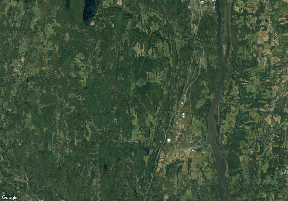
1921 Cr 26 New Baltimore, NY 12042
Estimated Value: $329,000 - $394,014
5
Beds
2
Baths
2,584
Sq Ft
$140/Sq Ft
Est. Value
About This Home
This home is located at 1921 Cr 26, New Baltimore, NY 12042 and is currently estimated at $362,254, approximately $140 per square foot. 1921 Cr 26 is a home located in Greene County with nearby schools including Scott M. Ellis Elementary School, Greenville Middle School, and Greenville High School.
Ownership History
Date
Name
Owned For
Owner Type
Purchase Details
Closed on
Dec 28, 2023
Sold by
Keith Malucelli T and Keith Malucelli
Bought by
Pinho Christopher
Current Estimated Value
Purchase Details
Closed on
Sep 30, 2019
Sold by
Malucelli Keith
Bought by
Keith A Keith A Malucel
Purchase Details
Closed on
Jun 26, 2019
Sold by
Malucelli Keith
Bought by
Keith A Keith A Malucel and Keith A Malucelli Trust
Purchase Details
Closed on
Oct 7, 2016
Sold by
Grandone Danny
Bought by
Malucelli Keith A
Create a Home Valuation Report for This Property
The Home Valuation Report is an in-depth analysis detailing your home's value as well as a comparison with similar homes in the area
Home Values in the Area
Average Home Value in this Area
Purchase History
| Date | Buyer | Sale Price | Title Company |
|---|---|---|---|
| Pinho Christopher | $330,000 | Westcore Title | |
| Keith A Keith A Malucel | -- | None Available | |
| Keith A Keith A Malucel | -- | None Available | |
| Malucelli Keith A | $125,000 | Virginia Benedict |
Source: Public Records
Tax History Compared to Growth
Tax History
| Year | Tax Paid | Tax Assessment Tax Assessment Total Assessment is a certain percentage of the fair market value that is determined by local assessors to be the total taxable value of land and additions on the property. | Land | Improvement |
|---|---|---|---|---|
| 2024 | $8,106 | $164,400 | $48,700 | $115,700 |
| 2023 | $7,534 | $164,400 | $48,700 | $115,700 |
| 2022 | $7,414 | $164,400 | $48,700 | $115,700 |
| 2021 | $7,158 | $164,400 | $48,700 | $115,700 |
| 2020 | $7,371 | $164,400 | $48,700 | $115,700 |
| 2019 | $7,357 | $164,400 | $48,700 | $115,700 |
| 2018 | $7,357 | $164,400 | $48,700 | $115,700 |
| 2017 | $7,164 | $164,400 | $48,700 | $115,700 |
| 2016 | $6,933 | $164,400 | $48,700 | $115,700 |
| 2015 | -- | $164,400 | $48,700 | $115,700 |
| 2014 | -- | $164,400 | $48,700 | $115,700 |
Source: Public Records
Map
Nearby Homes
- 1357-1361 Medway Earton Rd
- 424 Medway Earlton Rd
- 0 Eagle Nest Rd
- L14 Eagle Nest Rd
- 1072 Honey Hollow Rd
- 189 County Route 26
- 1418 County Route 51
- 175 Jordan Rd
- 87 Old Stonewall Rd
- 37 Old Stonewall Rd
- L18.12 Old Kings Rd
- L18.11 Old Kings Rd
- L18.2 Old Kings Rd
- Lot 1 Mountain View Dr
- 353 Haas Hill Rd
- Lot 6 Route 51
- 00WP Haas Hill Rd
- 00WP Haas Hill Rd Unit LotWP003
- 150 Jennings Rd
- 651 County Road 45
- 450 Medway Earlton Rd
- 686 Medway-Earlton Rd
- 823 Medway Earlton Rd
- 822 Medway Earlton Rd
- 1264 Medway-Earlton Rd
- 777 Medway Earlton Rd
- 757 Medway Earlton Rd
- 1357-1361 Medway-Earlton Rd
- 1086 Medway Earlton Rd
- 269 The Ln
- 736 Medway Earlton Rd
- 1114 1114 Route 81
- 1106 Medway Earlton Rd
- 710 Medway-Earlton Rd
- 710 Medway Earlton Rd
- 1168 Medway Earlton Rd
- 1168 Medway-Earlton Rd
- 256 The Ln
- 00 Medway-Earlton Rd
- 686 Medway Earlton Rd
