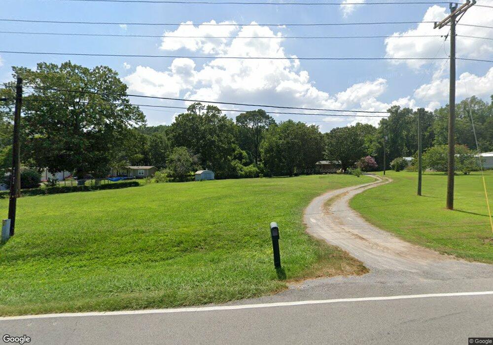
1921 E Upper River Rd Decatur, AL 35603
Estimated Value: $95,447 - $175,000
Studio
--
Bath
1,004
Sq Ft
$131/Sq Ft
Est. Value
About This Home
This home is located at 1921 E Upper River Rd, Decatur, AL 35603 and is currently estimated at $131,112, approximately $130 per square foot. 1921 E Upper River Rd is a home located in Morgan County with nearby schools including Priceville Elementary School, Priceville Junior High School, and Priceville High School.
Ownership History
Date
Name
Owned For
Owner Type
Purchase Details
Closed on
May 9, 2022
Sold by
Cofer Emily Louise
Bought by
Smith Misty Lynn
Current Estimated Value
Home Financials for this Owner
Home Financials are based on the most recent Mortgage that was taken out on this home.
Original Mortgage
$141,616
Outstanding Balance
$133,596
Interest Rate
4.67%
Mortgage Type
New Conventional
Estimated Equity
-$2,484
Purchase Details
Closed on
Nov 16, 2021
Sold by
Schooley and Penny
Bought by
Cofer Emily Louise
Home Financials for this Owner
Home Financials are based on the most recent Mortgage that was taken out on this home.
Original Mortgage
$59,500
Interest Rate
2.33%
Mortgage Type
New Conventional
Purchase Details
Closed on
Mar 9, 2016
Sold by
Lanford Sonja Annette and Schooley Penny Michelle
Bought by
Schooley Penny Michelle and Schooley Roger Gene
Create a Home Valuation Report for This Property
The Home Valuation Report is an in-depth analysis detailing your home's value as well as a comparison with similar homes in the area
Purchase History
| Date | Buyer | Sale Price | Title Company |
|---|---|---|---|
| Smith Misty Lynn | $140,200 | None Listed On Document | |
| Smith Misty Lynn | $140,200 | None Listed On Document | |
| Cofer Emily Louise | $70,000 | None Listed On Document | |
| Schooley Penny Michelle | $62,000 | None Available |
Source: Public Records
Mortgage History
| Date | Status | Borrower | Loan Amount |
|---|---|---|---|
| Open | Smith Misty Lynn | $141,616 | |
| Closed | Smith Misty Lynn | $141,616 | |
| Previous Owner | Cofer Emily Louise | $59,500 |
Source: Public Records
Tax History
| Year | Tax Paid | Tax Assessment Tax Assessment Total Assessment is a certain percentage of the fair market value that is determined by local assessors to be the total taxable value of land and additions on the property. | Land | Improvement |
|---|---|---|---|---|
| 2024 | $255 | $7,930 | $2,840 | $5,090 |
| 2023 | $243 | $7,930 | $2,840 | $5,090 |
| 2022 | $320 | $9,970 | $2,840 | $7,130 |
| 2021 | $249 | $8,430 | $2,480 | $5,950 |
| 2020 | $249 | $16,180 | $4,960 | $11,220 |
| 2019 | $249 | $8,100 | $0 | $0 |
| 2015 | $178 | $6,200 | $0 | $0 |
| 2014 | $178 | $6,200 | $0 | $0 |
| 2013 | -- | $5,560 | $0 | $0 |
Source: Public Records
Map
Nearby Homes
- 206 Red Bud Ln
- 160 Hagood Dr
- 35 Winchester Dr
- 1120 Friendship Rd
- 842 Friendship Rd
- 2845 E Upper River Rd
- 123 Emory Dr
- 117 Ginhouse Way
- 228 Schoolhouse Dr
- 300 Partheway St
- 1270 Rountree Place
- 213 Brookhill Rd
- 148 Pine St
- 1095 Maplehurst St
- 1055 Maplehurst St
- 148 Cove Creek Dr
- 197 Clear Creek Dr
- 195 Clear Creek Dr
- 191 Clear Creek Dr SW
- 189 Clear Creek Dr SW
- 1921 E Upper River Rd
- 1905 E Upper River Rd
- 187 Red Bud Ln
- 195 Red Bud Ln
- 1903 E Upper River Rd
- 1933 E Upper River Rd
- 181 Red Bud Ln
- 1870 E Upper River Rd
- 1840 E Upper River Rd
- 1947 E Upper River Rd
- 1963 E Upper River Rd
- 1898 E Upper River Rd
- 1874 E Upper River Rd
- 147 Red Bud Ln
- 1973 E Upper River Rd
- 146 Red Bud Ln
- 1956 E Upper River Rd
- 1851 E Upper River Rd
- 135 Red Bud Ln
- 1983 E Upper River Rd
Your Personal Tour Guide
Ask me questions while you tour the home.