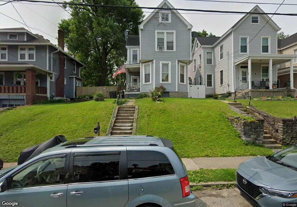
1921 Elm Ave Cincinnati, OH 45212
Estimated Value: $178,000 - $212,867
3
Beds
1
Bath
2,028
Sq Ft
$98/Sq Ft
Est. Value
About This Home
This home is located at 1921 Elm Ave, Cincinnati, OH 45212 and is currently estimated at $198,717, approximately $97 per square foot. 1921 Elm Ave is a home located in Hamilton County with nearby schools including Norwood High School, Cornerstone Christian Academy, and Immaculate Conception Academy.
Ownership History
Date
Name
Owned For
Owner Type
Purchase Details
Closed on
Mar 11, 2025
Sold by
Earl Peters And Ruby Faye Peters Trust and Peters Ruby Faye
Bought by
Greene Richard
Current Estimated Value
Purchase Details
Closed on
Dec 9, 2004
Sold by
The Cit Group/Consumer Finance Inc
Bought by
Peters Ruby Faye and Trust Agreement Of Earl & Ruby Faye Pete
Purchase Details
Closed on
Sep 28, 2004
Sold by
Stinebuck James M and Stinebuck Paule J
Bought by
The Cit Group/Consumer Finance Inc
Purchase Details
Closed on
May 22, 1995
Sold by
Murphy Denis J and Murphy Juanita M
Bought by
Stinebuck Paula J and Stinebuck James M
Home Financials for this Owner
Home Financials are based on the most recent Mortgage that was taken out on this home.
Original Mortgage
$49,693
Interest Rate
8.42%
Mortgage Type
FHA
Create a Home Valuation Report for This Property
The Home Valuation Report is an in-depth analysis detailing your home's value as well as a comparison with similar homes in the area
Home Values in the Area
Average Home Value in this Area
Purchase History
| Date | Buyer | Sale Price | Title Company |
|---|---|---|---|
| Greene Richard | $163,550 | None Listed On Document | |
| Peters Ruby Faye | $76,400 | -- | |
| The Cit Group/Consumer Finance Inc | $55,000 | -- | |
| Stinebuck Paula J | -- | -- |
Source: Public Records
Mortgage History
| Date | Status | Borrower | Loan Amount |
|---|---|---|---|
| Previous Owner | Stinebuck Paula J | $49,693 |
Source: Public Records
Tax History
| Year | Tax Paid | Tax Assessment Tax Assessment Total Assessment is a certain percentage of the fair market value that is determined by local assessors to be the total taxable value of land and additions on the property. | Land | Improvement |
|---|---|---|---|---|
| 2025 | $3,046 | $57,243 | $11,130 | $46,113 |
| 2024 | $3,047 | $57,243 | $11,130 | $46,113 |
| 2023 | $3,064 | $57,243 | $11,130 | $46,113 |
| 2022 | $2,438 | $38,378 | $7,473 | $30,905 |
| 2021 | $2,421 | $38,378 | $7,473 | $30,905 |
| 2020 | $2,368 | $38,378 | $7,473 | $30,905 |
| 2019 | $2,255 | $33,667 | $6,556 | $27,111 |
| 2018 | $2,257 | $33,667 | $6,556 | $27,111 |
| 2017 | $2,157 | $33,667 | $6,556 | $27,111 |
| 2016 | $2,218 | $33,044 | $6,164 | $26,880 |
| 2015 | $1,961 | $33,044 | $6,164 | $26,880 |
| 2014 | $1,952 | $33,044 | $6,164 | $26,880 |
| 2013 | $2,054 | $35,151 | $6,556 | $28,595 |
Source: Public Records
Map
Nearby Homes
- 1901 Sherman Ave
- 1846 Cleveland Ave
- 1762 Cleveland Ave
- 1841 Mills Ave
- 4719 Section Ave
- 1827 Maple Ave
- 1952 Maple Ave
- 1819 Maple Ave
- 1907 Crown Ave
- 1824 Maple Ave
- 2005 Crown Ave
- 2030 Elm Ave
- 2043 Lawrence Ave
- 2049 Sherman Ave
- 1701 Sherman Ave
- 4308 Carter Ave
- 2053 Foraker Ave
- 3 Baker Cir
- 2010 Hopkins Ave
- 4210 Lowry Ave
Your Personal Tour Guide
Ask me questions while you tour the home.