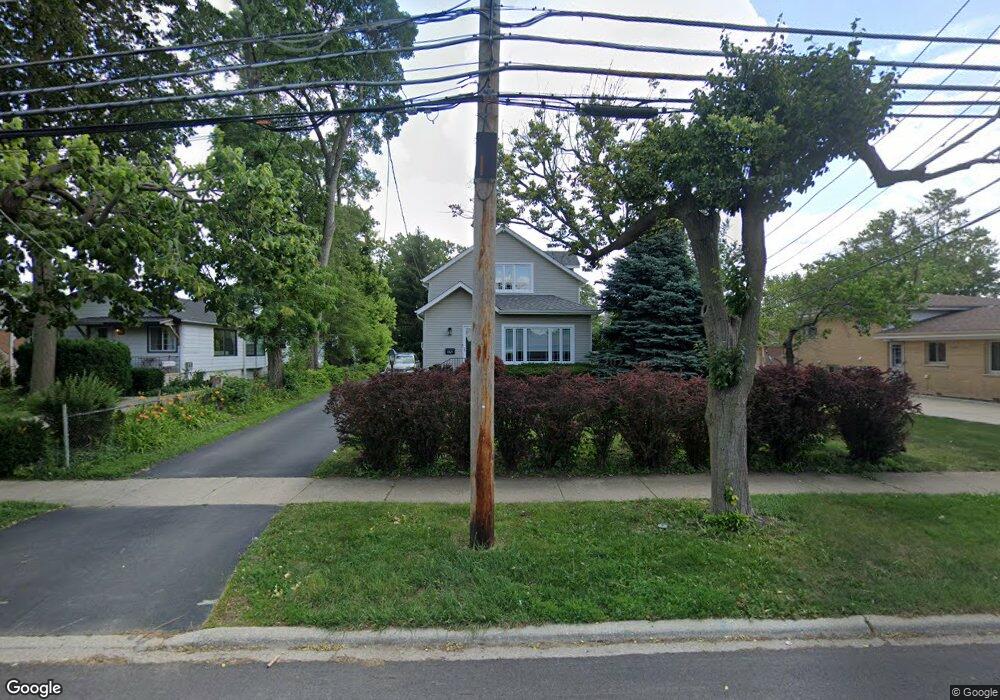
1921 Maple St Des Plaines, IL 60018
Estimated Value: $319,824 - $556,000
4
Beds
3
Baths
2,100
Sq Ft
$198/Sq Ft
Est. Value
About This Home
This home is located at 1921 Maple St, Des Plaines, IL 60018 and is currently estimated at $415,456, approximately $197 per square foot. 1921 Maple St is a home located in Cook County with nearby schools including South Elementary School, Algonquin Middle School, and Maine West High School.
Ownership History
Date
Name
Owned For
Owner Type
Purchase Details
Closed on
Jul 2, 2012
Sold by
Bortnowski Bogumil and Bortnowska Anita
Bought by
Murillo Everardo
Current Estimated Value
Home Financials for this Owner
Home Financials are based on the most recent Mortgage that was taken out on this home.
Original Mortgage
$236,425
Outstanding Balance
$162,063
Interest Rate
3.75%
Mortgage Type
FHA
Estimated Equity
$253,393
Purchase Details
Closed on
Dec 3, 1993
Sold by
Osiol Ronald S and Dusatko Richard J
Bought by
Bortnowski Bogumil and Bortnowski Anita
Home Financials for this Owner
Home Financials are based on the most recent Mortgage that was taken out on this home.
Original Mortgage
$118,900
Interest Rate
6.95%
Purchase Details
Closed on
Jun 23, 1993
Sold by
Crown Mtg Co
Bought by
Osiol Ronald S and Dusatko Richard J
Create a Home Valuation Report for This Property
The Home Valuation Report is an in-depth analysis detailing your home's value as well as a comparison with similar homes in the area
Home Values in the Area
Average Home Value in this Area
Purchase History
| Date | Buyer | Sale Price | Title Company |
|---|---|---|---|
| Murillo Everardo | $245,000 | Alliance Title Corporation | |
| Bortnowski Bogumil | $83,666 | -- | |
| Osiol Ronald S | $35,000 | -- |
Source: Public Records
Mortgage History
| Date | Status | Borrower | Loan Amount |
|---|---|---|---|
| Open | Murillo Everardo | $236,425 | |
| Previous Owner | Bortnowski Bogumil | $118,900 |
Source: Public Records
Tax History
| Year | Tax Paid | Tax Assessment Tax Assessment Total Assessment is a certain percentage of the fair market value that is determined by local assessors to be the total taxable value of land and additions on the property. | Land | Improvement |
|---|---|---|---|---|
| 2025 | $4,662 | $36,400 | $8,679 | $27,721 |
| 2024 | $4,662 | $23,400 | $7,232 | $16,168 |
| 2023 | $4,523 | $21,000 | $7,232 | $13,768 |
| 2022 | $4,523 | $21,000 | $7,232 | $13,768 |
| 2021 | $4,134 | $16,779 | $6,026 | $10,753 |
| 2020 | $4,133 | $16,779 | $6,026 | $10,753 |
| 2019 | $4,151 | $18,853 | $6,026 | $12,827 |
| 2018 | $4,351 | $17,983 | $5,303 | $12,680 |
| 2017 | $4,291 | $17,983 | $5,303 | $12,680 |
| 2016 | $4,303 | $17,983 | $5,303 | $12,680 |
| 2015 | $4,527 | $17,596 | $4,580 | $13,016 |
| 2014 | $4,447 | $17,596 | $4,580 | $13,016 |
| 2013 | $5,078 | $17,596 | $4,580 | $13,016 |
Source: Public Records
Map
Nearby Homes
- 1721 Prospect Ave
- 1922 Fargo Ave
- 1640 S River Rd
- 1445 Everett Ave
- 1645 Illinois St
- 1689 S Elm St
- 1696 S Elm St
- 1370 Fargo Ave Unit E
- 2220 S Chestnut St
- 1641 E Touhy Ave
- 1629 E Touhy Ave
- 1990 Berry Ln
- 1700 E Forest Ave
- 38 E Touhy Ave
- 2469 Parkwood Ln
- 2600 S Scott St
- 2609 Eisenhower Dr
- 700 Florence Dr
- 2646 Maple St
- 1738 Lunt Ave
- 1800 Stockton Ave
- 1915 Maple St
- 1830 Stockton Ave
- 1932 Locust St
- 1840 Stockton Ave
- 1903 Maple St
- 1914 Locust St
- 1798 Stockton Ave
- 1912 Maple St
- 1796 Stockton Ave
- 1959 Maple St
- 1904 Locust St
- 1786 Stockton Ave
- 1887 Maple St
- 1850 Stockton Ave
- 1784 Stockton Ave
- 1821 Stockton Ave
- 1779 Prospect Ave
- 1967 Maple St
- 1890 Locust St
Your Personal Tour Guide
Ask me questions while you tour the home.