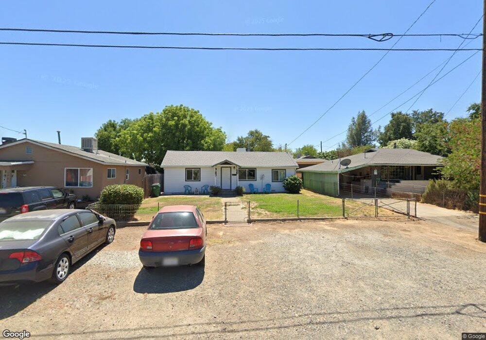
1921 Mill St Anderson, CA 96007
Anderson City Center NeighborhoodEstimated Value: $202,000 - $266,000
About This Home
This home is located at 1921 Mill St, Anderson, CA 96007 and is currently estimated at $229,455. 1921 Mill St is a home with nearby schools including Meadow Lane Elementary School, Anderson Heights Elementary School, and Anderson Middle School.
Ownership History
We collect this data history from publicly available records. To have your information removed, we recommend requesting removal directly through your county’s website.
Purchase Details
Home Financials for this Owner
Home Financials are based on the most recent Mortgage that was taken out on this home.Home Values in the Area
Average Home Value in this Area
Purchase History
We collect this data history from publicly available records. To have your information removed, we recommend requesting removal directly through your county’s website.
| Date | Buyer | Sale Price | Title Company |
|---|---|---|---|
| -- | First American Title Co |
Mortgage History
We collect this data history from publicly available records. To have your information removed, we recommend requesting removal directly through your county’s website.
| Date | Status | Borrower | Loan Amount |
|---|---|---|---|
| Closed | $37,200 |
Tax History
We collect this data history from publicly available records. To have your information removed, we recommend requesting removal directly through your county’s website.
| Year | Tax Paid | Tax Assessment Tax Assessment Total Assessment is a certain percentage of the fair market value that is determined by local assessors to be the total taxable value of land and additions on the property. | Land | Improvement |
|---|---|---|---|---|
| 2025 | $1,495 | $109,775 | $26,583 | $83,192 |
| 2024 | $1,507 | $107,623 | $26,062 | $81,561 |
| 2023 | $1,507 | $105,513 | $25,551 | $79,962 |
| 2022 | $1,412 | $103,445 | $25,050 | $78,395 |
| 2021 | $1,441 | $101,417 | $24,559 | $76,858 |
| 2020 | $1,432 | $100,378 | $24,308 | $76,070 |
| 2019 | $1,377 | $98,411 | $23,832 | $74,579 |
| 2018 | $1,360 | $96,482 | $23,365 | $73,117 |
| 2017 | $1,362 | $94,591 | $22,907 | $71,684 |
| 2016 | $1,292 | $92,737 | $22,458 | $70,279 |
| 2015 | $1,301 | $91,345 | $22,121 | $69,224 |
| 2014 | $1,265 | $89,556 | $21,688 | $67,868 |
Map
- 3065 Silver St
- 2010 Frontier Trail
- 1910 Hays St
- 1785 Brigman St
- 1656 School St
- 2896 East St
- 1750 Diamond St
- 0 Balls Ferry Rd Unit 26-1803
- 3394 Josh Dr
- 2186 Balls Ferry Rd
- 2786 Oak St
- 2745 Oak St
- 3473 Nathan Dr
- 1701 Manter Dr
- 1384 Diamond St
- 2616 W Hillside Dr
- 2720 Sandstone Dr
- 3696 Brentwood Dr
- 1567 Lodgepole Ave
- 3714 Vinewood Dr
- 1905 Mill St
- 1931 Mill St
- 1903 Mill St
- 3090 W Center St Unit Suite A
- 3090 W Center St Unit Suite C
- 3090 W Center St
- 1912 North St
- 3066 W Center St
- 46 Mill St
- 47 Mill St
- 1705 Mill St
- 1697 Mill St
- 0 Mill St
- 3085 Silver St
- 1900 Mill St
- 0 W Center St
- 3095 Silver St
- 1884 Mill St
- 1906 North St
- 1930 North St
Ask me questions while you tour the home.