1921 N Cedar Park Dr Point Roberts, WA 98281
Estimated Value: $244,000 - $378,000
--
Bed
1
Bath
1,040
Sq Ft
$326/Sq Ft
Est. Value
About This Home
This home is located at 1921 N Cedar Park Dr, Point Roberts, WA 98281 and is currently estimated at $339,345, approximately $326 per square foot. 1921 N Cedar Park Dr is a home located in Whatcom County with nearby schools including Point Roberts Primary School, Blaine Middle School, and Blaine High School.
Ownership History
Date
Name
Owned For
Owner Type
Purchase Details
Closed on
Nov 25, 2021
Sold by
Giesbrecht and Barbara
Bought by
Giesbrecht Barbara
Current Estimated Value
Purchase Details
Closed on
Nov 18, 2021
Sold by
Giesbrecht Barbara
Bought by
Giesbrecht Barbara and Giesbrecht Patricia Ashley
Purchase Details
Closed on
Jul 19, 2017
Sold by
Wils Maurice and Wils Mary
Bought by
Giesbrecht Stewart and Giesbrecht Barbara
Create a Home Valuation Report for This Property
The Home Valuation Report is an in-depth analysis detailing your home's value as well as a comparison with similar homes in the area
Home Values in the Area
Average Home Value in this Area
Purchase History
| Date | Buyer | Sale Price | Title Company |
|---|---|---|---|
| Giesbrecht Barbara | $313 | None Listed On Document | |
| Giesbrecht Barbara | -- | None Available | |
| Giesbrecht Barbara | -- | None Listed On Document | |
| Giesbrecht Stewart | $87,000 | Whatcom Land Title Co Inc |
Source: Public Records
Tax History Compared to Growth
Tax History
| Year | Tax Paid | Tax Assessment Tax Assessment Total Assessment is a certain percentage of the fair market value that is determined by local assessors to be the total taxable value of land and additions on the property. | Land | Improvement |
|---|---|---|---|---|
| 2024 | $2,303 | $281,811 | $102,383 | $179,428 |
| 2023 | $2,303 | $272,503 | $93,075 | $179,428 |
| 2022 | $615 | $199,908 | $85,000 | $114,908 |
| 2021 | $613 | $42,663 | $40,128 | $2,535 |
| 2020 | $618 | $39,502 | $37,155 | $2,347 |
| 2019 | $1,037 | $37,891 | $35,640 | $2,251 |
| 2018 | $862 | $77,210 | $32,040 | $45,170 |
| 2017 | $749 | $73,740 | $30,600 | $43,140 |
| 2016 | $823 | $72,294 | $30,000 | $42,294 |
| 2015 | $875 | $77,474 | $32,847 | $44,627 |
| 2014 | -- | $80,993 | $34,340 | $46,653 |
| 2013 | -- | $77,500 | $32,980 | $44,520 |
Source: Public Records
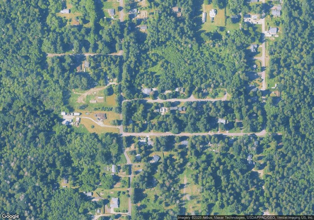
Map
Nearby Homes
- lot 14 Cedar Park Dr Unit 14
- 0 6 39 Acres South Beach Rd
- 1976 Cedar Park Dr
- Lot 2 Greenwood Dr
- 2 Benson Rd
- 1940 Apa Rd
- 1911 Apa Rd
- 634 S Beach Rd
- 8 Heather Way
- 2045 Apa Rd
- 661 Driftwood Ln
- 1934 Waters Rd
- 1927 Orcas View Way
- 675 Sylvia Dr
- 698 Kendor Dr
- 2138 Benson Rd
- 1920 Patos Way
- 1881 Edwards Dr
- 1 Mill Rd
- 2 Mill Rd
- 1915 N Cedar Park Dr
- 1920 Cedar Park Dr
- 1931 Cedar Park Dr
- 1914 N Cedar Park Dr
- 1912 Cedar Park Dr
- 1902 Cedar Park Dr
- 1906 N Cedar Park Dr
- 1943 Cedar Park Dr
- 1937 N Cedar Park Dr
- 1987 Cedar Park Dr
- 1944 Cedar Park Dr
- 1972 Cedar Park Dr
- 1932 N Cedar Park Dr
- 1921 Cedar Park Dr
- 1913 Cedar Park Dr
- 500 S Beach Rd
- 450 S Beach Rd
- 1949 N Cedar Park Dr
- 1936 Cedar Park Dr
- 504 S Beach Rd