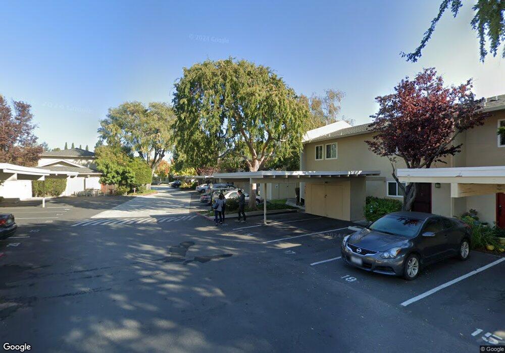
1921 Rock St Unit 23 Mountain View, CA 94043
Monta Loma NeighborhoodEstimated Value: $844,576 - $979,000
About This Home
This home is located at 1921 Rock St Unit 23, Mountain View, CA 94043 and is currently estimated at $923,144, approximately $949 per square foot. 1921 Rock St Unit 23 is a home located in Santa Clara County with nearby schools including Monta Loma Elementary School, Crittenden Middle School, and Los Altos High School.
Ownership History
We collect this data history from publicly available records. To have your information removed, we recommend requesting removal directly through your county’s website.
Purchase Details
Purchase Details
Home Financials for this Owner
Home Financials are based on the most recent Mortgage that was taken out on this home.Purchase Details
Home Financials for this Owner
Home Financials are based on the most recent Mortgage that was taken out on this home.Home Values in the Area
Average Home Value in this Area
Purchase History
We collect this data history from publicly available records. To have your information removed, we recommend requesting removal directly through your county’s website.
| Date | Buyer | Sale Price | Title Company |
|---|---|---|---|
| -- | None Available | ||
| $319,000 | First American Title Guarant | ||
| $149,000 | Stewart Title |
Mortgage History
We collect this data history from publicly available records. To have your information removed, we recommend requesting removal directly through your county’s website.
| Date | Status | Borrower | Loan Amount |
|---|---|---|---|
| Previous Owner | $287,000 | ||
| Previous Owner | $141,550 |
Tax History
We collect this data history from publicly available records. To have your information removed, we recommend requesting removal directly through your county’s website.
| Year | Tax Paid | Tax Assessment Tax Assessment Total Assessment is a certain percentage of the fair market value that is determined by local assessors to be the total taxable value of land and additions on the property. | Land | Improvement |
|---|---|---|---|---|
| 2025 | $5,464 | $471,239 | $295,451 | $175,788 |
| 2024 | $5,464 | $462,000 | $289,658 | $172,342 |
| 2023 | $5,391 | $452,942 | $283,979 | $168,963 |
| 2022 | $5,375 | $444,061 | $278,411 | $165,650 |
| 2021 | $5,247 | $435,354 | $272,952 | $162,402 |
| 2020 | $5,333 | $430,891 | $270,154 | $160,737 |
| 2019 | $5,014 | $422,443 | $264,857 | $157,586 |
| 2018 | $5,165 | $414,161 | $259,664 | $154,497 |
| 2017 | $4,937 | $406,041 | $254,573 | $151,468 |
| 2016 | $4,759 | $398,081 | $249,582 | $148,499 |
| 2015 | $4,639 | $392,103 | $245,834 | $146,269 |
| 2014 | $4,584 | $384,423 | $241,019 | $143,404 |
Map
- 1963 Rock St Unit 27
- 758 Telford Ave
- 1913 W Middlefield Rd
- 701 N Rengstorff Ave Unit 7
- 701 N Rengstorff Ave Unit 6
- 453 N Rengstorff Ave Unit 19
- 436 Sierra Vista Ave Unit 6
- 436 Sierra Vista Ave Unit 8
- 2041 Atlas Loop
- 1908 Aberdeen Ln Unit 58
- 421 Sierra Vista Ave Unit 7
- 631 Midrock Corners
- 742 Cottage Ct
- 769 Bryn Mawr Ct
- 2149 Junction Ave Unit 10
- 1257 Verano Rd
- 1983 San Luis Ave Unit 16
- 1235 Verano Rd
- 2360 Toledo Terrace
- 888 N Rengstorff Ave
- 1921 Rock St Unit 13
- 1921 Rock St Unit 11
- 1921 Rock St
- 1921 Rock St Unit 32
- 1921 Rock St Unit 31
- 1921 Rock St Unit 30
- 1921 Rock St Unit 29
- 1921 Rock St Unit 28
- 1921 Rock St Unit 27
- 1921 Rock St Unit 26
- 1921 Rock St Unit 25
- 1921 Rock St Unit 24
- 1921 Rock St Unit 22
- 1921 Rock St Unit 21
- 1921 Rock St Unit 20
- 1921 Rock St Unit 19
- 1921 Rock St Unit 18
- 1921 Rock St Unit 17
- 1921 Rock St Unit 16
- 1921 Rock St Unit 15
Ask me questions while you tour the home.