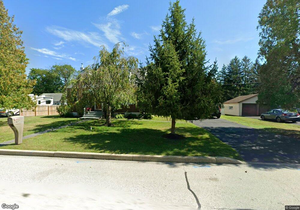
1921 Roosevelt Blvd Hatfield, PA 19440
Estimated Value: $376,130 - $454,000
2
Beds
1
Bath
1,205
Sq Ft
$338/Sq Ft
Est. Value
About This Home
This home is located at 1921 Roosevelt Blvd, Hatfield, PA 19440 and is currently estimated at $407,783, approximately $338 per square foot. 1921 Roosevelt Blvd is a home located in Montgomery County with nearby schools including A. M. Kulp Elementary School, Penndale Middle School, and North Penn Senior High School.
Ownership History
Date
Name
Owned For
Owner Type
Purchase Details
Closed on
Jun 8, 2007
Sold by
Michalowski Nina
Bought by
Islam Ferdoushe and Babu Yasin
Current Estimated Value
Home Financials for this Owner
Home Financials are based on the most recent Mortgage that was taken out on this home.
Original Mortgage
$189,600
Outstanding Balance
$115,701
Interest Rate
6.14%
Estimated Equity
$292,082
Create a Home Valuation Report for This Property
The Home Valuation Report is an in-depth analysis detailing your home's value as well as a comparison with similar homes in the area
Home Values in the Area
Average Home Value in this Area
Purchase History
| Date | Buyer | Sale Price | Title Company |
|---|---|---|---|
| Islam Ferdoushe | $237,000 | None Available |
Source: Public Records
Mortgage History
| Date | Status | Borrower | Loan Amount |
|---|---|---|---|
| Open | Islam Ferdoushe | $189,600 |
Source: Public Records
Tax History
| Year | Tax Paid | Tax Assessment Tax Assessment Total Assessment is a certain percentage of the fair market value that is determined by local assessors to be the total taxable value of land and additions on the property. | Land | Improvement |
|---|---|---|---|---|
| 2025 | $4,709 | $117,630 | $49,970 | $67,660 |
| 2024 | $4,709 | $117,630 | $49,970 | $67,660 |
| 2023 | $4,507 | $117,630 | $49,970 | $67,660 |
| 2022 | $4,361 | $117,630 | $49,970 | $67,660 |
| 2021 | $4,237 | $117,630 | $49,970 | $67,660 |
| 2020 | $4,137 | $117,630 | $49,970 | $67,660 |
| 2019 | $4,068 | $117,630 | $49,970 | $67,660 |
Source: Public Records
Map
Nearby Homes
- 7 Fortuna Dr
- 2 Fortuna Dr
- 6 Fortuna Dr
- Lot 0 Fortuna Dr
- 2200 Rebecca Dr
- 2288 Rebecca Dr
- 1474 N Line St
- 000 Lenape Dr
- 83 Bethlehem Pike Unit 1306- HAMILTON PLAN
- 83 Bethlehem Pike Unit 1405
- 83 Bethlehem Pike Unit 1111
- 83 Bethlehem Pike Unit 1106- MADISON PLAN
- 83 Bethlehem Pike Unit 1102- IVY FLOORPLAN
- 83 Bethlehem Pike Unit 1109 LEWIS FLOORPLAN
- 105 Brentwood Ct
- 52 Arbor Cir
- 2732 Valley Woods Rd
- 1315 Deer Run Rd
- 816 Kenilworth Ave
- 109 Briarwood Ln
- 1913 Roosevelt Blvd
- 1927 Roosevelt Blvd
- 1935 Roosevelt Blvd
- 227 Cowpath Rd
- 237 Cowpath Rd
- 1920 Roosevelt Blvd
- 0 Filbert St Unit PAMC678242
- 1914 Roosevelt Blvd
- 1930 Roosevelt Blvd
- 303 Cowpath Rd
- 223 Cowpath Rd
- 1943 Roosevelt Blvd
- 1940 Roosevelt Blvd
- 1921 Pine St
- 1913 Pine St
- 2028 Lenhart Rd
- 1935 Pine St
- 1946 Roosevelt Blvd
- 311 Cowpath Rd
- 1945 Pine St
Your Personal Tour Guide
Ask me questions while you tour the home.