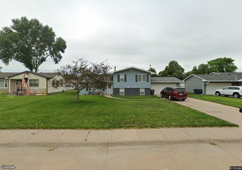
1921 W 10th St Hastings, NE 68901
Estimated Value: $191,000 - $228,000
3
Beds
2
Baths
1,089
Sq Ft
$200/Sq Ft
Est. Value
About This Home
This home is located at 1921 W 10th St, Hastings, NE 68901 and is currently estimated at $217,257, approximately $199 per square foot. 1921 W 10th St is a home located in Adams County with nearby schools including Hastings Senior High School, St. Michael's Preschool & Elementary School, and Zion Lutheran School.
Ownership History
Date
Name
Owned For
Owner Type
Purchase Details
Closed on
Feb 26, 2021
Sold by
Kuhlmann Crista J and Kuhlmann Jon A
Bought by
Jarzynka Jake Michael and Jarzynka Julie Lynn
Current Estimated Value
Home Financials for this Owner
Home Financials are based on the most recent Mortgage that was taken out on this home.
Original Mortgage
$170,720
Outstanding Balance
$153,038
Interest Rate
2.7%
Mortgage Type
New Conventional
Estimated Equity
$64,219
Purchase Details
Closed on
Apr 20, 2010
Sold by
Vanboening Suzanne Kay
Bought by
Plant Christa J
Home Financials for this Owner
Home Financials are based on the most recent Mortgage that was taken out on this home.
Original Mortgage
$113,407
Interest Rate
4.45%
Mortgage Type
FHA
Purchase Details
Closed on
Oct 6, 2008
Sold by
Vanboening Joshua Mark
Bought by
Vanboening Suzanne Kay
Create a Home Valuation Report for This Property
The Home Valuation Report is an in-depth analysis detailing your home's value as well as a comparison with similar homes in the area
Home Values in the Area
Average Home Value in this Area
Purchase History
| Date | Buyer | Sale Price | Title Company |
|---|---|---|---|
| Jarzynka Jake Michael | $176,000 | Prairie Title | |
| Plant Christa J | $116,000 | Patrick Prairie Title | |
| Vanboening Suzanne Kay | -- | None Available |
Source: Public Records
Mortgage History
| Date | Status | Borrower | Loan Amount |
|---|---|---|---|
| Open | Jarzynka Jake Michael | $170,720 | |
| Previous Owner | Plant Christa J | $113,407 |
Source: Public Records
Tax History Compared to Growth
Tax History
| Year | Tax Paid | Tax Assessment Tax Assessment Total Assessment is a certain percentage of the fair market value that is determined by local assessors to be the total taxable value of land and additions on the property. | Land | Improvement |
|---|---|---|---|---|
| 2024 | $2,577 | $161,401 | $26,081 | $135,320 |
| 2023 | $3,160 | $153,165 | $26,081 | $127,084 |
| 2022 | $3,453 | $153,282 | $26,081 | $127,201 |
| 2021 | $3,016 | $137,525 | $21,160 | $116,365 |
| 2020 | $2,846 | $131,984 | $21,160 | $110,824 |
| 2019 | $2,641 | $123,775 | $21,160 | $102,615 |
| 2018 | $2,517 | $117,380 | $14,765 | $102,615 |
| 2017 | $2,472 | $115,370 | $0 | $0 |
| 2016 | $2,333 | $108,790 | $14,765 | $94,025 |
| 2011 | -- | $99,000 | $13,780 | $85,220 |
Source: Public Records
Map
Nearby Homes
- 1911 W 11th St
- 1814 Boyce St
- 1513 Crane Ave
- 1505 Crane Ave
- 736 N Barnes Ave
- 711 Crane Ave
- 2229 W 8th St
- 1619 Boyce St
- 2330 W 11th St
- 1225 Heritage Dr
- 1201 Pershing Rd
- 2301 Bateman Ave
- 1801 W 7th St
- 2416 W 9th St
- 904 N Washington Ave
- 2501 W 10th St
- 514 Oswego Ave
- 1911 W 5th St
- 1615 W 7th St
- 2521 Boyce St