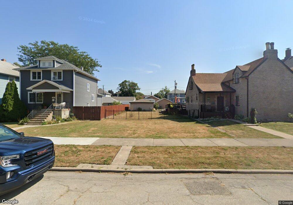
1921 Wespark Ave Whiting, IN 46394
Estimated Value: $264,735 - $362,000
3
Beds
2
Baths
2,076
Sq Ft
$144/Sq Ft
Est. Value
About This Home
This home is located at 1921 Wespark Ave, Whiting, IN 46394 and is currently estimated at $298,684, approximately $143 per square foot. 1921 Wespark Ave is a home located in Lake County with nearby schools including Benjamin Franklin Elementary School, Eggers Middle School, and Hammond High School.
Ownership History
Date
Name
Owned For
Owner Type
Purchase Details
Closed on
Mar 30, 2017
Sold by
Parsons Eric P
Bought by
Eschbach Kathryn C
Current Estimated Value
Purchase Details
Closed on
Mar 1, 2015
Sold by
Parsons Eric and Eschbach Kathryn C
Bought by
Parsons Eric P and Eschbach Kathryn C
Purchase Details
Closed on
Oct 20, 2014
Sold by
Biel Joseph
Bought by
Parsons Eric and Eschbach Kathryn C
Purchase Details
Closed on
Jun 16, 2014
Sold by
Paunicka Wendell Anthony and Paunicka Kathryn A
Bought by
Parsons Eric P and Eschbach Kathryn C
Create a Home Valuation Report for This Property
The Home Valuation Report is an in-depth analysis detailing your home's value as well as a comparison with similar homes in the area
Home Values in the Area
Average Home Value in this Area
Purchase History
| Date | Buyer | Sale Price | Title Company |
|---|---|---|---|
| Eschbach Kathryn C | -- | None Available | |
| Parsons Eric P | -- | None Available | |
| Parsons Eric | -- | Chicago Title Insurance Co | |
| Parsons Eric P | -- | Chicago Title Insurance Co | |
| Parsons Eric P | -- | Chicago Title Insurance Co |
Source: Public Records
Tax History
| Year | Tax Paid | Tax Assessment Tax Assessment Total Assessment is a certain percentage of the fair market value that is determined by local assessors to be the total taxable value of land and additions on the property. | Land | Improvement |
|---|---|---|---|---|
| 2025 | $2,976 | $285,700 | $51,300 | $234,400 |
| 2024 | $10,434 | $271,800 | $51,300 | $220,500 |
| 2023 | $2,883 | $218,300 | $64,600 | $153,700 |
| 2022 | $2,803 | $209,600 | $64,600 | $145,000 |
| 2021 | $2,465 | $184,300 | $43,500 | $140,800 |
| 2020 | $2,374 | $177,000 | $43,500 | $133,500 |
| 2019 | $2,409 | $171,100 | $43,500 | $127,600 |
| 2018 | $2,518 | $165,600 | $43,500 | $122,100 |
| 2017 | $2,817 | $163,400 | $43,500 | $119,900 |
| 2016 | $5,210 | $155,700 | $43,500 | $112,200 |
| 2014 | $1,997 | $134,100 | $21,800 | $112,300 |
| 2013 | $1,724 | $123,300 | $21,800 | $101,500 |
Source: Public Records
Map
Nearby Homes
- 1949 Lake Ave
- 2024 Lake Ave
- 1218 120th St
- 2134 Lincoln Ave
- 1719 Atchison Ave
- 1710 Atchison Ave
- 1944 Warwick Ave
- 1806 Brown Ave
- 1314 121st St
- 1704 Central Ave
- 2017 Clark St
- 1631 Cleveland Ave
- 2231 Davis Ave
- 2027 1/2 Davidson Place
- 1539 Myrtle Ave
- 1643 Roberts Ave
- 1623 Central Ave
- 1726 Oliver St
- 2140 Indianapolis Blvd
- 1811 New York Ave
- 1917 Wespark Ave
- 1925 Wespark Ave
- 1927 Wespark Ave
- 1915 Wespark Ave
- 1931 Wespark Ave
- 1924 Superior Ave
- 1920 Superior Ave
- 1926 Superior Ave
- 1935 Wespark Ave
- 1916 Superior Ave
- 1930 Superior Ave
- 1922 Wespark Ave
- 1008 119th St
- 1920 Wespark Ave
- 1926 Wespark Ave
- 1004 119th St
- 1010 119th St
- 1934 Superior Ave
- 1930 Wespark Ave
- 1937 Wespark Ave
Your Personal Tour Guide
Ask me questions while you tour the home.