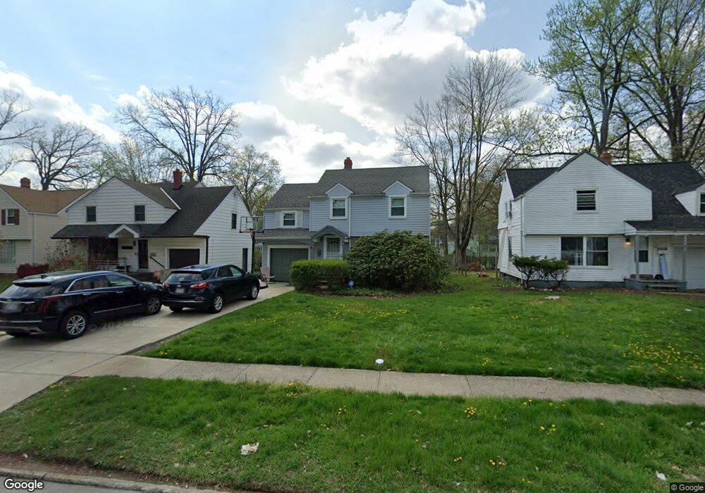
19212 Wickfield Ave Warrensville Heights, OH 44122
Estimated Value: $118,130 - $154,000
3
Beds
1
Bath
1,426
Sq Ft
$96/Sq Ft
Est. Value
About This Home
This home is located at 19212 Wickfield Ave, Warrensville Heights, OH 44122 and is currently estimated at $136,783, approximately $95 per square foot. 19212 Wickfield Ave is a home located in Cuyahoga County with nearby schools including John Dewey Elementary School, Warrensville Heights Middle School, and Warrensville Heights High School.
Ownership History
Date
Name
Owned For
Owner Type
Purchase Details
Closed on
Aug 27, 2018
Sold by
Stewart Margel S and Stewart Lemuel Earl
Bought by
Stewart Margel A
Current Estimated Value
Purchase Details
Closed on
Mar 17, 1989
Sold by
Gresham John L
Bought by
Stewart Lemuel E
Purchase Details
Closed on
Nov 3, 1986
Sold by
Stewart Lemuel E
Bought by
Gresham John L
Purchase Details
Closed on
Feb 20, 1985
Sold by
Stewart Lemuel E and M A
Bought by
Stewart Lemuel E
Purchase Details
Closed on
Jan 1, 1975
Bought by
Stewart Lemuel E and M A
Create a Home Valuation Report for This Property
The Home Valuation Report is an in-depth analysis detailing your home's value as well as a comparison with similar homes in the area
Home Values in the Area
Average Home Value in this Area
Purchase History
| Date | Buyer | Sale Price | Title Company |
|---|---|---|---|
| Stewart Margel A | -- | None Available | |
| Stewart Lemuel E | $41,000 | -- | |
| Gresham John L | -- | -- | |
| Stewart Lemuel E | -- | -- | |
| Stewart Lemuel E | -- | -- |
Source: Public Records
Tax History Compared to Growth
Tax History
| Year | Tax Paid | Tax Assessment Tax Assessment Total Assessment is a certain percentage of the fair market value that is determined by local assessors to be the total taxable value of land and additions on the property. | Land | Improvement |
|---|---|---|---|---|
| 2024 | $2,700 | $40,565 | $7,665 | $32,900 |
| 2023 | $2,204 | $26,640 | $5,850 | $20,790 |
| 2022 | $2,218 | $26,640 | $5,850 | $20,790 |
| 2021 | $2,180 | $26,640 | $5,850 | $20,790 |
| 2020 | $2,126 | $22,790 | $5,010 | $17,780 |
| 2019 | $2,078 | $65,100 | $14,300 | $50,800 |
| 2018 | $2,193 | $22,790 | $5,010 | $17,780 |
| 2017 | $2,343 | $25,450 | $3,540 | $21,910 |
| 2016 | $2,311 | $25,450 | $3,540 | $21,910 |
| 2015 | $2,575 | $25,450 | $3,540 | $21,910 |
| 2014 | $2,575 | $29,580 | $4,130 | $25,450 |
Source: Public Records
Map
Nearby Homes
- 19110 Lanbury Ave
- 3696 Tolland Rd
- 19302 Shakerwood Rd
- 3846 E 189th St
- 3676 Rawnsdale Rd
- 19901 Lanbury Ave
- 3635 Tolland Rd
- 19912 Lanbury Ave
- 3651 Rawnsdale Rd
- 3609 Stoer Rd
- 3717 Gridley Rd
- 19024 Lomond Blvd
- 3656 Latimore Rd
- 19112 Kings Hwy
- 18302 Scottsdale Blvd
- 19617 Lomond Blvd
- 18515 Lomond Blvd
- 18107 Scottsdale Blvd
- 18112 Lomond Blvd
- 3638 Glencairn Rd
- 19218 Wickfield Ave
- 19208 Wickfield Ave
- 19204 Wickfield Ave
- 19302 Wickfield Ave
- 19306 Wickfield Ave
- 19118 Wickfield Ave
- 19213 Lanbury Ave
- 19219 Lanbury Ave
- 19209 Lanbury Ave
- 19303 Lanbury Ave
- 19205 Lanbury Ave
- 19312 Wickfield Ave
- 19114 Wickfield Ave
- 19213 Wickfield Ave
- 19307 Lanbury Ave
- 19209 Wickfield Ave
- 19119 Lanbury Ave
- 19219 Wickfield Ave
- 19205 Wickfield Ave
- 19303 Wickfield Ave