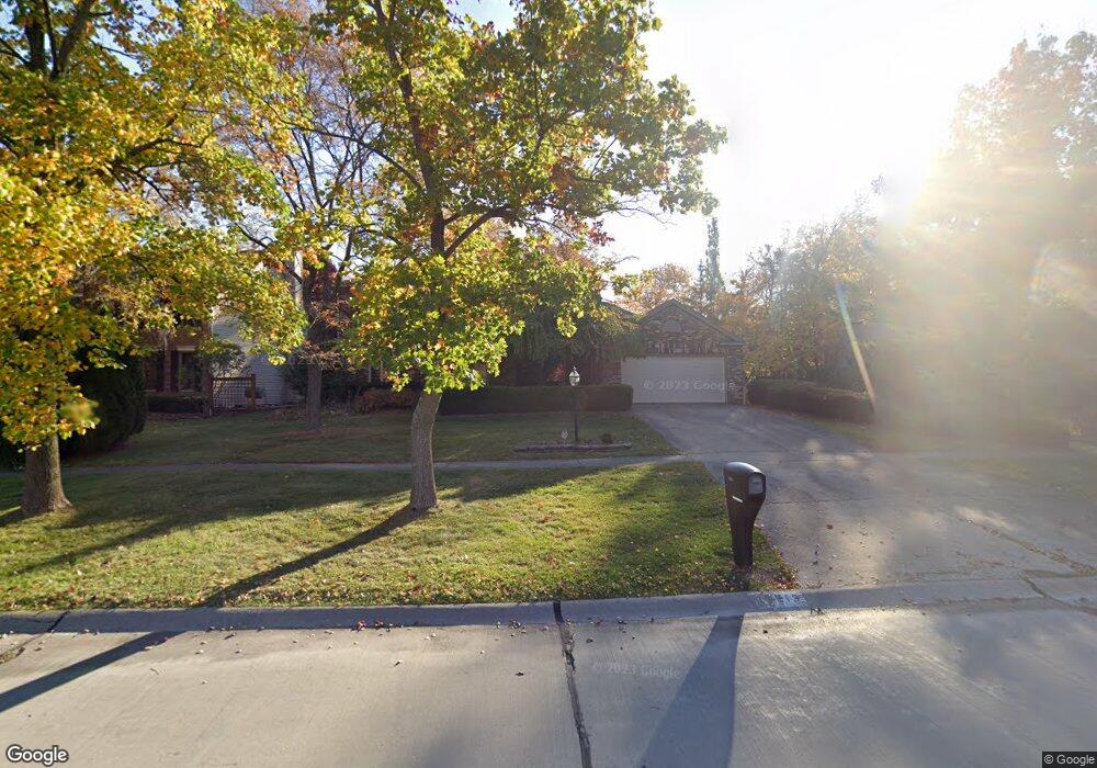
19213 Saratoga Trail Strongsville, OH 44136
Estimated Value: $428,000 - $487,000
4
Beds
3
Baths
2,845
Sq Ft
$158/Sq Ft
Est. Value
About This Home
This home is located at 19213 Saratoga Trail, Strongsville, OH 44136 and is currently estimated at $450,925, approximately $158 per square foot. 19213 Saratoga Trail is a home located in Cuyahoga County with nearby schools including Strongsville High School and Saint Ambrose Catholic School.
Ownership History
Date
Name
Owned For
Owner Type
Purchase Details
Closed on
Aug 29, 1986
Sold by
Champion James M and Champion Elaine T
Bought by
Petrie Stuart L
Current Estimated Value
Purchase Details
Closed on
Jun 12, 1985
Bought by
Champion James M and Champion Elaine T
Purchase Details
Closed on
Feb 4, 1985
Bought by
Park West Corporation
Purchase Details
Closed on
May 12, 1982
Bought by
Planterra Corp
Purchase Details
Closed on
Jan 1, 1980
Bought by
North East Land Co
Create a Home Valuation Report for This Property
The Home Valuation Report is an in-depth analysis detailing your home's value as well as a comparison with similar homes in the area
Home Values in the Area
Average Home Value in this Area
Purchase History
| Date | Buyer | Sale Price | Title Company |
|---|---|---|---|
| Petrie Stuart L | $186,000 | -- | |
| Champion James M | $160,000 | -- | |
| Park West Corporation | $22,000 | -- | |
| Planterra Corp | -- | -- | |
| North East Land Co | -- | -- |
Source: Public Records
Tax History Compared to Growth
Tax History
| Year | Tax Paid | Tax Assessment Tax Assessment Total Assessment is a certain percentage of the fair market value that is determined by local assessors to be the total taxable value of land and additions on the property. | Land | Improvement |
|---|---|---|---|---|
| 2024 | $5,811 | $133,560 | $32,025 | $101,535 |
| 2023 | $5,790 | $101,640 | $25,340 | $76,300 |
| 2022 | $5,774 | $101,640 | $25,340 | $76,300 |
| 2021 | $5,729 | $101,640 | $25,340 | $76,300 |
| 2020 | $5,831 | $92,400 | $23,030 | $69,370 |
| 2019 | $5,660 | $264,000 | $65,800 | $198,200 |
| 2018 | $5,137 | $92,400 | $23,030 | $69,370 |
| 2017 | $5,224 | $87,500 | $19,740 | $67,760 |
| 2016 | $5,182 | $87,500 | $19,740 | $67,760 |
| 2015 | $5,255 | $87,500 | $19,740 | $67,760 |
| 2014 | $5,255 | $87,500 | $19,740 | $67,760 |
Source: Public Records
Map
Nearby Homes
- 16711 Beech Cir
- 3550 Boston Rd
- 18411 Yorktown Oval
- 196 Pinnacle Dr
- 18848 Pearl Rd
- 97 Weathervane Ln
- 17934 Cambridge Oval
- 16486 S Red Rock Dr
- 17682 Drake Rd
- 328 Crestway Oval
- 15604-REAR Boston Rd
- 18294 Drake Rd
- 338 Delaware Dr
- 362 Brantley Ln
- 18229 Howe Rd
- 17159 Turkey Meadow Ln
- 17130 Golden Star Dr
- 17024 Bear Creek Ln
- 19694 Benbow Rd
- 19740 Benbow Rd
- 19155 Saratoga Trail
- 19241 Saratoga Trail
- 17553 Deer Ridge Cir
- 19269 Saratoga Trail
- 17531 Deer Ridge Cir
- 19202 Saratoga Trail
- 19119 Saratoga Trail
- 19168 Saratoga Trail
- 19230 Saratoga Trail
- 17509 Deer Ridge Cir
- 19134 Saratoga Trail
- 19299 Saratoga Trail
- 17462 Pioneers Creek
- 17462 Pioneers Creek Cir
- 19258 Saratoga Trail
- 17745 Monterey Pine Dr
- 19087 Saratoga Trail
- 17534 Deer Ridge Cir
- 17514 Pioneers Creek Cir
- 17566 Pioneers Creek Cir