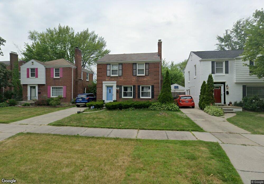
19217 Linville St Unit Bldg-Unit Grosse Pointe, MI 48236
Estimated Value: $235,230 - $251,000
3
Beds
2
Baths
1,250
Sq Ft
$195/Sq Ft
Est. Value
About This Home
This home is located at 19217 Linville St Unit Bldg-Unit, Grosse Pointe, MI 48236 and is currently estimated at $243,808, approximately $195 per square foot. 19217 Linville St Unit Bldg-Unit is a home located in Wayne County with nearby schools including John Monteith Elementary School, Brownell Middle School, and Grosse Pointe North High School.
Ownership History
Date
Name
Owned For
Owner Type
Purchase Details
Closed on
Jan 29, 2018
Sold by
Katebi Seyed Haneif and Salehezadeh Zohre
Bought by
Joseph Kelsey R
Current Estimated Value
Home Financials for this Owner
Home Financials are based on the most recent Mortgage that was taken out on this home.
Original Mortgage
$169,653
Outstanding Balance
$143,681
Interest Rate
3.99%
Mortgage Type
New Conventional
Estimated Equity
$100,127
Purchase Details
Closed on
May 6, 2013
Sold by
Attalla Antoinette and Attalla Charles A
Bought by
Katebi Seyed Haneif
Create a Home Valuation Report for This Property
The Home Valuation Report is an in-depth analysis detailing your home's value as well as a comparison with similar homes in the area
Home Values in the Area
Average Home Value in this Area
Purchase History
| Date | Buyer | Sale Price | Title Company |
|---|---|---|---|
| Joseph Kelsey R | $174,900 | Visionary Title Agency Llc | |
| Katebi Seyed Haneif | $112,500 | Title One Inc |
Source: Public Records
Mortgage History
| Date | Status | Borrower | Loan Amount |
|---|---|---|---|
| Open | Joseph Kelsey R | $169,653 |
Source: Public Records
Tax History Compared to Growth
Tax History
| Year | Tax Paid | Tax Assessment Tax Assessment Total Assessment is a certain percentage of the fair market value that is determined by local assessors to be the total taxable value of land and additions on the property. | Land | Improvement |
|---|---|---|---|---|
| 2025 | $2,255 | $105,700 | $0 | $0 |
| 2024 | $2,255 | $100,900 | $0 | $0 |
| 2023 | $2,152 | $84,600 | $0 | $0 |
| 2022 | $3,639 | $73,000 | $0 | $0 |
| 2021 | $3,396 | $56,100 | $0 | $0 |
| 2019 | $3,427 | $39,000 | $0 | $0 |
| 2018 | $534 | $30,400 | $0 | $0 |
| 2017 | $3,146 | $30,400 | $0 | $0 |
| 2016 | $2,173 | $28,500 | $0 | $0 |
| 2015 | $2,428 | $27,100 | $0 | $0 |
| 2013 | $2,650 | $26,500 | $0 | $0 |
| 2012 | $379 | $27,000 | $3,800 | $23,200 |
Source: Public Records
Map
Nearby Homes
- 19226 Eastborne St
- 19242 Eastborne St
- 19299 Raymond St
- 21747 Newcastle Rd
- 21746 Moross Rd
- 5910 Hillcrest St
- 21674 Prestwick Ave
- 21519 Sloan Dr
- 19000 Chandler Park Dr
- 5273 Hillcrest St
- 18721 Chandler Park Dr
- 5228 Hillcrest St
- 1780 Broadstone Rd
- 21248 Newcastle Rd
- 21225 Bournemouth St
- 21315 Prestwick Ave
- 483 Allard Ave
- 5522 Ashley St
- 6144 Radnor St
- 463 Lexington Rd
- 19217 Linville St
- 19209 Linville St
- 19209 Linville St
- 19212 Eastborne St
- 19229 Linville St
- 19229 Linville St
- 19235 Linville St
- 19209 Linville St
- 19201 Linville St
- 19234 Eastborne St
- 19243 Linville St
- 19243 Linville St
- 19251 Linville St
- 19204 Eastborne St
- 19259 Linville St
- 21808 Kingsville St
- 21800 Kingsville St
- 21816 Kingsville St
- 21792 Kingsville St
- 19216 Linville St